


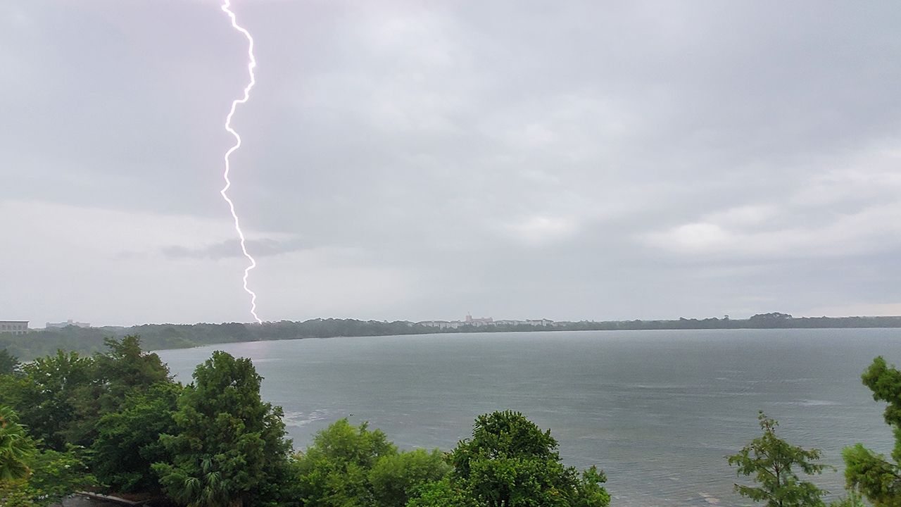
We’re in for another hot and humid day, followed by afternoon storms all across Central Florida. As temperatures heat up, the east and west coast sea breeze boundaries will begin to develop across the Florida coastlines. As both boundaries push inland, they’ll eventually collide across Central Florida, leading to a blowup of convection along and just west of the Interstate 4 corridor.
As boundaries collide, expect locally strong wind gusts up to 50 mph, heavy rainfall and frequent lightning. Some spots could pick up some isolated rain totals up to 2 inches in just one hour.
It’ll also be a hot day with highs in the mid 90s. Heat index values will soar closer to 105° across Central Florida, but as high as 110° in Flagler County, where a Heat Advisory is in effect through 7 p.m.
 | Highs: Low to Mid-90s Lows: Upper 70s Rain Coverage: 60% |
Check your hour-by-hour forecast here | Share your weather photos