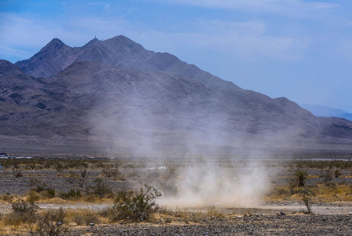
A record-tying high of 104 degrees on Friday appears to be the sign of a warm start to June, according to the National Weather Service.
Harry Reid International Airport, the valley’s official measuring station, reached 104 at 4:02 p.m., tying a record for May 31 that was previously reached in 1977, 1997, 2002 and 2015.
“A big ridge of high pressure is sitting up over the Western states,” weather service meteorologist John Adair said. “But we might see a chance of precipitation as well.”
The weekend will be close to normal with a Saturday high near 101 with 99 forecast for Sunday. Winds Saturday could gust to 26 mph.
The current outlook calls for triple-digit highs each day next week with a 108 on Thursday and 106 on Friday, Adair said.
“We might get more clouds on Friday with the chance of some moisture,” he said.
Contact Marvin Clemons at mclemons@reviewjournal.com.
RELATED
Las Vegas hits 100 for 1st time in 2024; hotter than normal summer likely
Triple-digit temps have arrived. Here's how you can stay safe