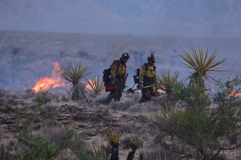
A rapidly spreading wildfire burned through national forest land near California's border with Oregon on Tuesday, prompting evacuations.
The Head Fire in Siskiyou County is one of at least 19 fires burning in the Klamath National Forest, according to the U.S. Forest Service.
Thunderstorms rolling through the area brought lightning that sparked the fires, and windy weather led to flames spreading through the area.
Most are small, but forest officials said the Head Fire exploded in size over the course of a few hours on Tuesday.
In a post on Facebook at around 4:45 p.m. local time, the Forest Service said the Head Fire was reported on the north side of the Klamath River at between 15 and 20 acres and burring "with a high rate of spread." Evacuation warnings were then put in place.
About three hours later, the Forest Service said the blaze was now more than 1,000 acres.
"The #HeadFire has increased in intensity and rate of spread and has spotted across the Klamath River due to thunderstorm downdrafts in the area," officials wrote on Facebook. "The evacuation warning has been elevated to an order. PLEASE LEAVE THE AREA IMMEDIATELY."
Rough estimates on Tuesday night placed the fire at between 3,000 and 4,000 acres.
"Evacuation Orders and Warnings have been issued and law enforcement and fire are working to get folks out of the evacuation area," forest supervisor Rachel Smith said in a statement on Facebook. "If you are in this area, please get out immediately."
Smith said the Happy Camp Division of the Happy Camp/Oak Knoll Ranger District has 11 total confirmed fires, ranging in size from a tenth of an acre to 50 acres. "Weather conditions are driving active fire behavior on some fires, notably the Elliott, Malone, and Titus Fires," she said. The Elliott Fire was last reported at 50 acres, burning on both sides of Elliott Creek, Smith said.
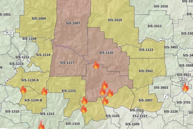
The Siskiyou County Sheriff's Office issued evacuation orders for several areas, including for south of Hamburg, a tiny community along the Klamath River, east of Horse Creek Road and south of Highway 96. Highway 96 and Scott River Road were closed.
🚨HEAD FIRE EVACUATIONS UPDATE 🚨
— Siskiyou County Sheriff (@SiskiyouSheriff) August 16, 2023
🚨EVACUATION ORDER for zone(s):
- 𝗭𝗼𝗻𝗲 𝗦𝗜𝗦-1236, 1120, 1117, 1007
⚠️EVACUATION WARNING(S):
- 𝗭𝗼𝗻𝗲 𝗦𝗜𝗦-1010, 1123, 3502, 2007, 2004, 2001, 1233, 1230-A, 1230-B, 1114, 1004
More details here: https://t.co/eLaA73Z4oN pic.twitter.com/dapinQXseb
The sheriff's office said those under evacuation orders need to leave immediately, and residents under evacuation warnings should be ready to evacuate.
"Surrounding areas should be ready to evacuate if needed," the sheriff's office added.
The Kahtishraam Wellness Center in Yreka is open to those affected by the fires and in need of shelter.
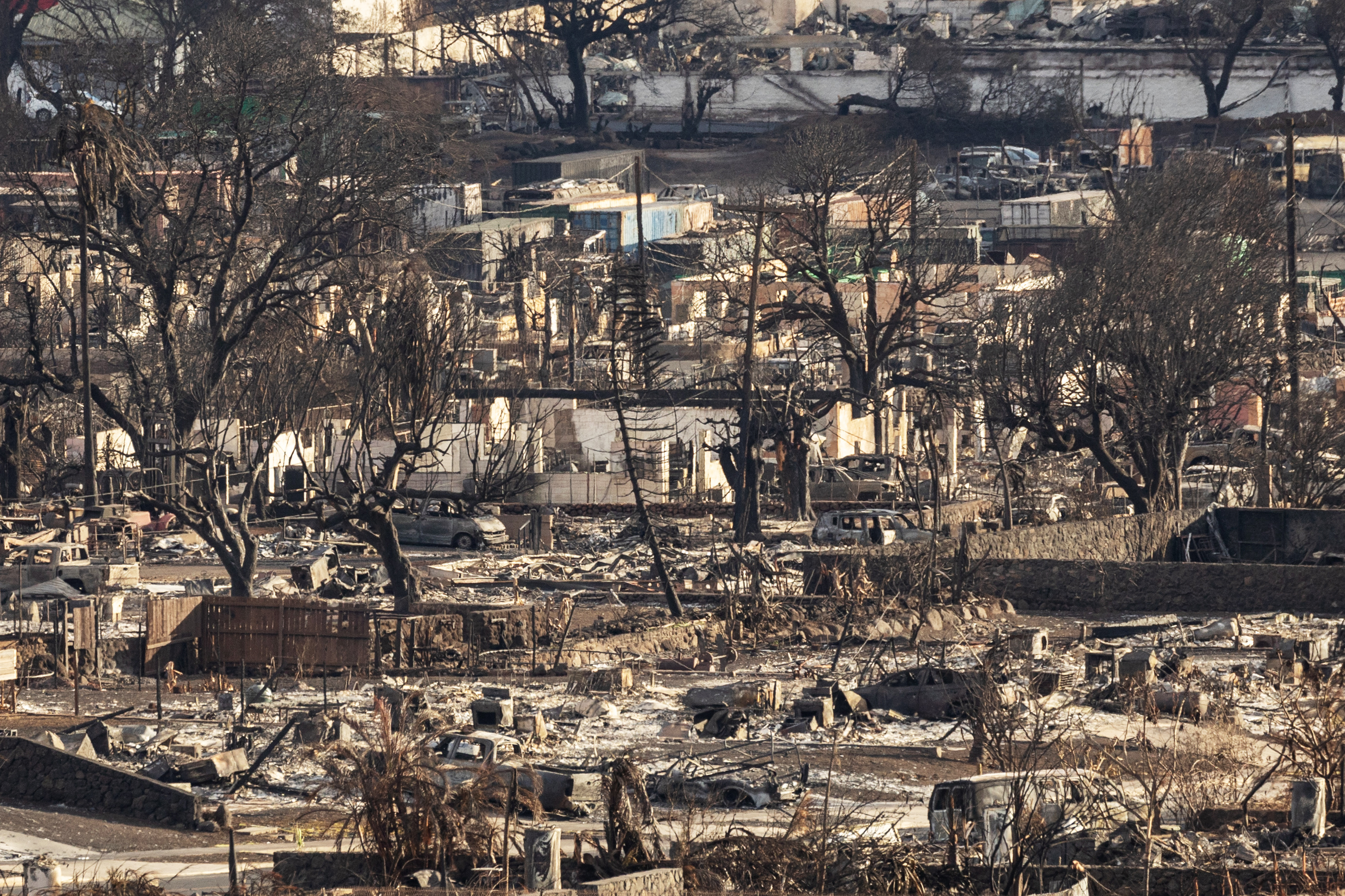
The Head Fire was burning near the site of last year's McKinney Fire.
That fire began in the Klamath National Forest on July 29 last year and burned through more than 60,000 acres before it was fully contained. It killed four people, including two whose bodies were found inside a charred vehicle in the driveway of a home off Highway 96.
Newsweek has contacted the U.S. Forest Service and the Siskiyou County Sheriff's Office for further comment via email.