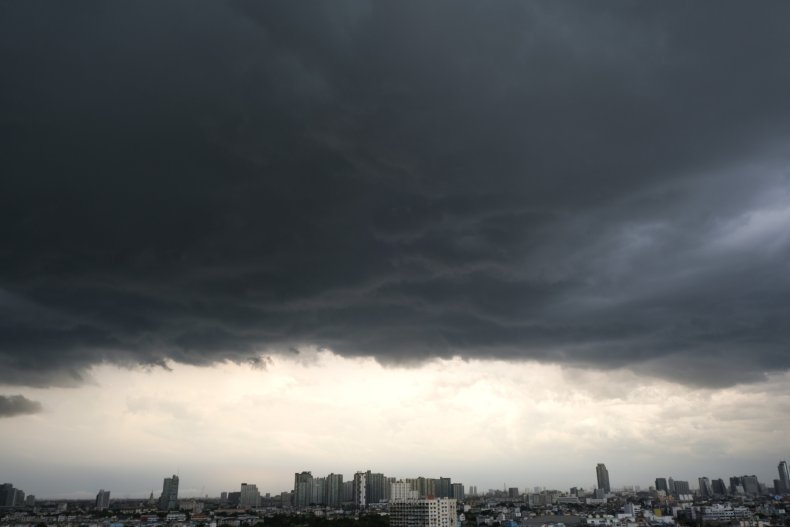
Videos on social media show massive power flashes lighting up the night sky as severe weather continues to thrash Oklahoma.
Pat Cavlin, a meteorologist at Texas news outlet KHOU11, tweeted a video showing power flashes across downtown Tulsa, OK. Power flashes occur when power lines are damaged or short out, often because of storms and winds.
"Power goes out in real time in the neighborhood after huge transformers flash," Cavlin wrote in the tweet.
Jon Haverfield, a former television meteorologist, also tweeted a video showing power flashes as 90 mph winds hit downtown Tulsa.
"That was intense, the most power flashes I've ever seen," Haverfield wrote.
The Weather Track US account on Twitter also shared video of a number of power flashes in Oklahoma. "These are very dangerous storms approaching the area. TAKE COVER NOW!" the account wrote.
Several power flashes in the Southwest #Tulsa, OK metro via the OK DOT Camera!
— Weather Track US (@weathertrackus) June 18, 2023
These are very dangerous storms approaching the area. TAKE COVER NOW!#okwx #weather #wxtwitter pic.twitter.com/kSsrD2sgUw
More than 50,000 customers have been affected by hundreds of outages reported in Oklahoma as of around3:50 a.m., according to power company OG&E.
A tornado tore through the Texas town of Perryton on Thursday, killing three people and causing widespread damage.
The National Weather Service (NWS) issued severe thunderstorm warnings for portions of Oklahoma and Texas on Saturday night.
The NWS's office in Norman, Oklahoma, tweeted at around 3 a.m. local time that warnings for the area have been cancelled as storms have weakened.
About half an hour later, the office said showers and storms were continuing to develop and move east across parts of Oklahoma. "Small hail and heavy downpours will be possible with any strong storms," the tweet said.
Happening right now -
— Pat Cavlin (@pcavlin) June 18, 2023
Major power flashes across downtown Tulsa as 100-130 mph race across the city
Power goes out in real time in the neighborhood after huge transformers flash#OKwx #Tulsa #Oklahoma pic.twitter.com/X7Pj8EE836
Severe thunderstorm warnings for parts of north Texas including Paris, Reno and Cooper ended at 4:15 a.m. local time.
The NWS office in Fort Worth earlier tweeted that "more showers/storms are developing across portions of North TX. The strongest storm at this time is over northern Collin Co. moving to the NE with small hail possible. This trend continues through the morning hours."
Severe thunderstorms "are expected from the ArkLaTex to the central Gulf Coast states today, as damaging wind gusts and large hail threaten these areas," the NWS Weather Prediction Center said in a forecast.
90mph winds coming though downtown Tulsa. That was intense, the most power flashes I’ve ever seen. #okwx pic.twitter.com/xmcfDrLBdH
— Jon Haverfield (@JonDopplerWX) June 18, 2023
"Showers and thunderstorms will shift into the Ohio/Tennessee Valleys and Southeast/Mid-Atlantic on Juneteenth where 1-3 inches of rainfall are possible over the Appalachian Mountains of the Carolinas as well as the Florida Panhandle. Severe Thunderstorms are possible over the central/Florida Gulf Coast on Monday as well where damaging gusts are possible."
Meanwhile, the NWS also warned of unusually hot temperatures across a broad swath of the South, with excessive heat warnings and advisories in place across the Gulf Coast.
The service warned of temperatures in the 100s that could tie or break records for daily high-temperature marks for the nation.