Cyclone Biparjoy impact: Delhi-NCR, UP, Rajasthan to get relief from heatwave, check latest weather forecast
According to the Meteorological Department, the process of rain will continue in the country's capital New Delhi till June 20.
Reported By: | Edited By: DNA Web Team |Source: DNA Web Desk |Updated: Jun 17, 2023, 09:57 AM IST
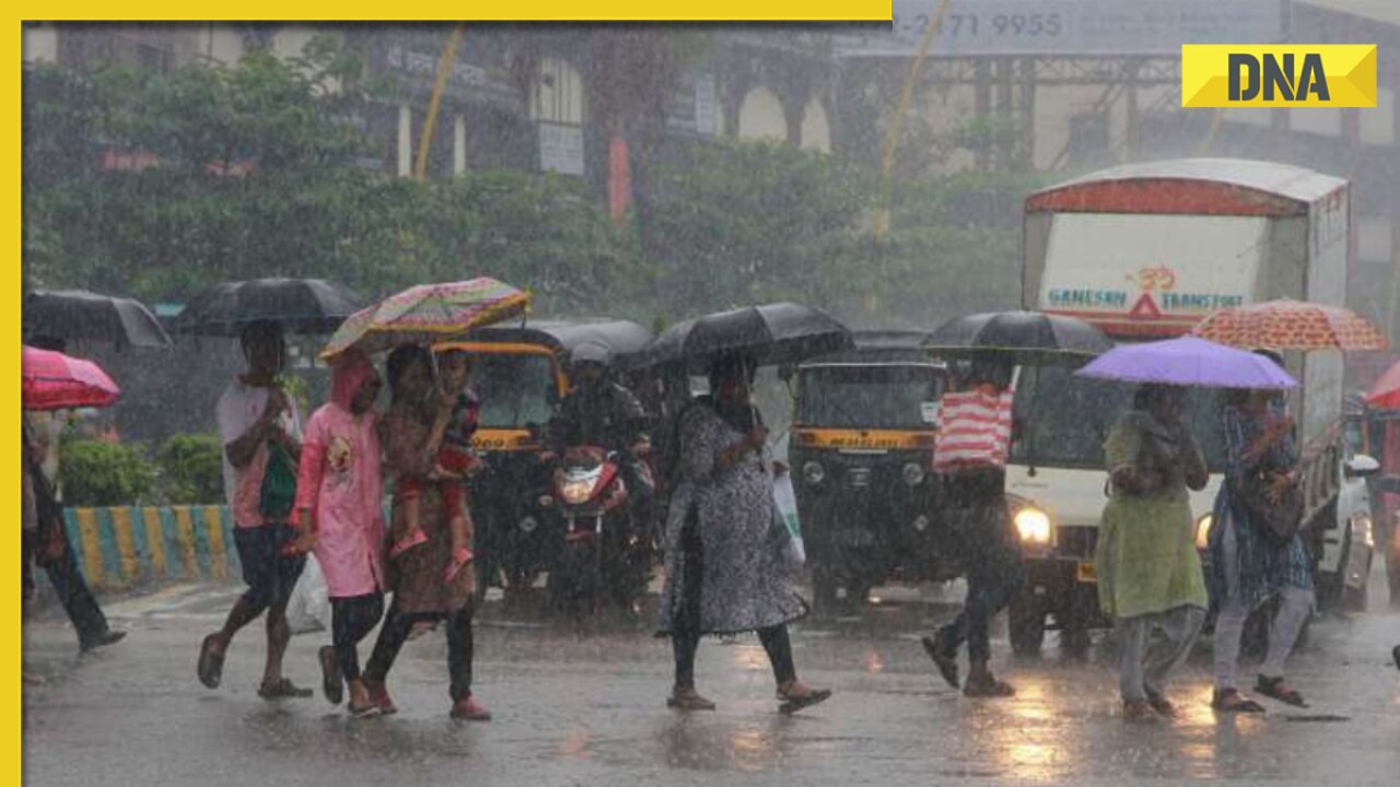
In some areas of Delhi and UP on Friday evening, moisture-heavy winds from storm Biparjoy and a western disturbance that was over Jammu and Kashmir caused showers, helping to end the day on a cooler note after yet another sweltering afternoon.
After noon, the weather changed drastically in a lot of parts of Delhi. Strong gusts and gloomy clouds gathered in the afternoon following a period of intense brightness. In a short duration, several places experienced heavy rain.
As a result, individuals were able to escape the oppressive heat. In the upcoming three days (June 17 to June 19), there is a chance of light drizzle and high winds. Due to the activation of Biparjoy and Western Disturbance, a cyclonic storm of this nature will occur.
According to the weather department, the speed of the cyclone is decreasing after making landfall. It will affect South-Southwest Rajasthan before moving towards North-East. Due to the cyclone, there will be heavy rains in Rajasthan, Punjab, Haryana, New Delhi and Uttar Pradesh for the next four days.
On Friday, Delhi's maximum temperature was 38.6 degrees Celsius and its lowest temperature was 27.9 degrees Celsius. The majority of the Meteorological Department's centres recorded temperatures that were below 40 degrees.
The Meteorological Department predicts that for the next 4-5 days, the oppressive heat and heat wave will abate. Dr Kuldeep Srivastava, the regional meteorological department's deputy director general, had previously projected that after the June 14 high temperature, the decline would start from June 15. This will happen due to rain on June 15 and 16 and June 18-19.
The maximum temperature is forecast to be between 38 and 39 degrees throughout this time, and the minimum is predicted to be up to 27 degrees. On June 18 and 19, a little drizzle and winds of 30 to 50 kph are also probable. There is currently no heat wave situation.