- News
- City News
- ahmedabad News
- Cyclonic circulation might bring rain to state
Trending Topics
Cyclonic circulation might bring rain to state


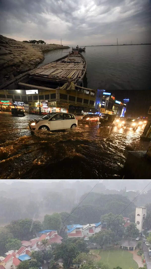
File photo of Ahmedabad rains
AHMEDABAD: The India Meteorological Department (IMD) forecast on Monday mentioned slim chances of rainfall for the next few days in Gujarat. However, the officials are keeping an eye on a cyclonic circulation developing in Arabian Sea which can get intensified in days to come.
'A low-pressure area formed over southeast Arabian Sea at 5.30pm on Monday. It is likely to move north-northwestwards and concentrate into a depression during next 24 hours,' mentioned a release from IMD. A senior official said that the next two days would determine the course of the circulation which can take form of a cyclone. "The system can either go in the opposite direction of Gujarat coast or can go northwards. If it stays close to the coast, some areas may get rainfall and strong winds. But it would be too early to tell," said an official.
Meanwhile, the maximum temperature remained below normal at 39.4 degrees celsius in Ahmedabad, which was 1.3 degrees less than normal. Minimum temperature at 28 degrees was at par with normal. On Tuesday, the city is likely to experience a clear sky as maximum temperature is likely to reach 40 degrees, according to the forecast.
The forecast mentioned chances of strong winds for Banaskantha, Patan, Mehsana, Gandhinagar, Ahmedabad, Sabarkantha, Surendranagar, Rajkot, Devbhoomi Dwarka, Porbandar, Jamnagar, Morbi and Kutch on Tuesday. At 41.8 degrees, Rajkot was the hottest city on Monday, followed by 41.3 degrees in Surendranagar and 40.8 degrees in Amreli.
Start a Conversation
FOLLOW US ON SOCIAL MEDIA
FacebookTwitterInstagramKOO APPYOUTUBE


Elections
TOP TRENDS
Popular Categories
Hot on the Web
Top Trends
Odisha train accidentNEET 2023 Answer KeyAdani Loan PaymentOdisha Train Accident ReasonTrain Accident in OdishaWTC Final 2023Mukhtar AnsariSakshi MalikBhagalpur Bridge CollapseCoromandel express accidentBalasore train accidentManipur ViolenceTop Universities in DelhiWrestlers Protest NewsElectronic InterlockingNIRF Ranking 2023Manish SisodiaWorld Test Championship Final
Trending Topics
Rakul Preet SinghVicky KaushalMutton Dosa RecipeGufi Paintal Death NewsChythrra HallikeriRelationships TipsGenelia D'SouzaHelly ShahParenting TipsAshneer GroverRakshita ReddyZara Hatke Zara BachkeSoy Cutlets RecipesTamannaah BhatiaEsha GuptaRakul Preet SinghVivo Y55sLaptops under 30000WiFi RoutersTablets under 15000
Living and entertainment
Copyright © 2023 Bennett, Coleman & Co. Ltd. All rights reserved. For reprint rights: Times Syndication Service