- News
- City News
- Hyderabad News
- Hyderabad rain: Wobbly drain conduits repeat same flood story
Trending Topics
Hyderabad rain: Wobbly drain conduits repeat same flood story

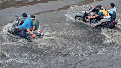
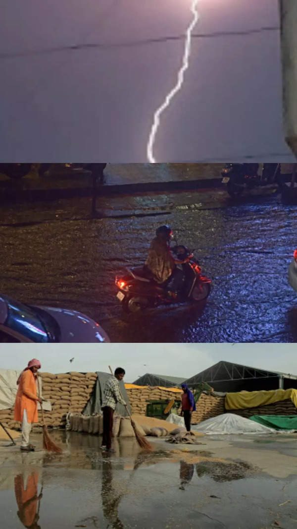
HYDERABAD: The unusually heavy summer rains have once again exposed the city’s poor drainage systems.
While a report soon after the 2020 October floods clearly indicated that a majority of the waterlogging points are a legacy problem occurring year after year, little seems to have changed since then in most of these areas.
The 2020 report by the civil engineering department of Osmania University based on survey of flooded localities also found dangerously high depth of inundation.

Almost 59% affected spots had stagnation depth of above 2 feet and about 55% had flooded more than two times in five years (2015-2020).
In all, 2.8% of such areas had water stagnation depth of more than 10 feet, 10.3% had stagnation depth of 5-10 feet and 46% had depth between 2-5 feet.
The spots prone to 10 feet of water during floods include areas such as Nadeem colony, Hashamabad, Al Jubail colony in Falaknuma, NPA Shivarampally and Ramanthapur. The report stated while 45% of the spots had flooded for the first time, the rest were legacy flooding areas with some areas (14.9%) having flooded more than 10 times. The survey also found that 52.9% of inundated spots took more than one day to return to normalcy.
“The areas we identified back in 2020 continue to be highly vulnerable because any rains above 60-80 mm will see severe inundation in these points. Our analysis also found instances of heavy rain events above 10 cm increasing in frequency because of global warming. Hyderabad needs to study the entire drainage system at these points as over time the slope and flow could have altered owing to encroachment, silt and others,” said professor M Gopal Naik who led the study.
Start a Conversation
FOLLOW US ON SOCIAL MEDIA
FacebookTwitterInstagramKOO APPYOUTUBE


Elections
TOP TRENDS
Popular Categories
Hot on the Web
Top Trends
LSG vs RCB Live ScoreKarnataka BJP Election ManifestoSupreme Court on DivorceGSEB 12th Result 2023Karnataka Election NewsCovid NewsIPL Live ScoreRahul GandhiDC IPL 2023GSEB 12th Science ResultMobile Apps Banned in IndiaKL RahulBJP Election ManifestoHoroscope todayLunar Eclipse 2023Karnataka Elections 2023IPL Schedule 2023IPL 2023 Points Table
Trending Topics
Living and entertainment
Copyright © 2023 Bennett, Coleman & Co. Ltd. All rights reserved. For reprint rights: Times Syndication Service