Winds to warm up Southern California on Monday, before another storm arrives

Continued winds could help warm up the Southland on Monday afternoon, forecasters say, but any hint of spring won’t last long, with another “cold and vigorous” storm system expected to move into the region Tuesday, bringing rain, snow and more chilly temperatures.
After a breezy day of Santa Ana winds, temperatures in some areas across Southern California will likely reach into the 70s late Monday, according to National Weather Service meteorologist David Sweet, based in Oxnard.
“It’s only the second time this month that areas will be getting above 70s,” Sweet said. “We’ve been below normal almost the entire month.”
Despite the warming temperatures, a wind advisory will remain in effect through 3 p.m. for much of the region, with winds gusting up to 45 mph in the Los Angeles and Santa Monica mountains, as well as the Santa Clarita and San Fernando valleys, Sweet said. Following a windy day Sunday and with soils still saturated, these gusty cross winds increase the risk of downed trees and fallen limbs, National Weather Service officials warned.
Beginning Tuesday, those warmer temperatures will feel long gone as a chilly storm from the Gulf of Alaska moves into the region, Sweet said.
The “cold and vigorous storm system” is expected to bring “rain, mountain snow, and breezy to gusty winds” beginning late Tuesday, according to the National Weather Service’s forecast discussion for Monday.
“This storm is weaker than previous storms, still has a pretty decent punch to it though,” Sweet said.
The storm will bring steady rains late Tuesday into Wednesday morning in Southern California, though totals aren’t expected to top one or two inches for most of the region. Snow levels, however, are expected at around 3,000 feet in elevation, meaning the Interstate 5 freeway at the Grapevine could get snow, and higher elevations could see up to 10 inches of snow.
Wednesday afternoon and Thursday could bring more sporadic weather, Sweet said, with scattered showers and thunderstorms possible, as well as “some locally heavy downpours, small hail and gusty winds.”
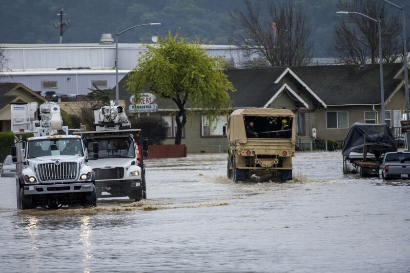
“We’re not looking at any expectation of flooding issues at this point,” he said — a relief after weeks of heavy rains have caused problems statewide.
Newsom’s decision to rescind some of the most severe restrictions comes after drenching storms eased extreme drought conditions across the state.
Before striking Southern California, the latest storm will sweep through Northern California late Monday, bringing winter weather in counties closest to Oregon and south into the north Sacramento Valley, as well as in the Sierra Nevada. The National Weather Service is warning of heavy snow, travel concerns and “near whiteout conditions” through Wednesday for those regions, with multiple feet of snow predicted for the eastern Sierra.
The storm is also expected to bring high winds across the Bay Area’s coast and some of the area’s higher elevations Monday evening, which officials are warning could knock out power and down trees.
Once the storm moves out of the state by Thursday, Sweet said the radar looks relatively clear, especially after weeks of back-to-back storms that have created an onslaught of dangerous and deadly conditions across California.
“As we move into the weekend with clearing skies and dry weather, temperatures will rise back into the 60s,” Sweet said.
The stories shaping California
Get up to speed with our Essential California newsletter, sent six days a week.
You may occasionally receive promotional content from the Los Angeles Times.


