Top Searches
- News
- City News
- dehradun News
- Char Dham yatra: In a first, Google Maps & Mappls apps to alert pilgrims about closures, diversions
Char Dham yatra: In a first, Google Maps & Mappls apps to alert pilgrims about closures, diversions

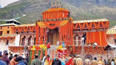
Char Dham yatra (File photo)
DEHRADUN: In a first such initiative, the Uttarakhand government has tied up with Google Maps and Mappls apps in a bid to give Char Dham pilgrims "a hassle-free journey" by providing them with information about road closures and diversions on their routes.
During the peak yatra season, accidents, landslides, debris and bad weather often lead to the closure of roads and diversions.
The Uttarakhand traffic directorate had recently held a meeting with the Google team to discuss the issue, officials said, adding that a demonstration was subsequently given to show the working of the technology.
"The reason we opted for this is to ensure that information about road closure and diversion reaches pilgrims in time so that they can take alternate routes," traffic director Mukhtar Mohsin said. In the past few years, a large number of tourists have started preferring to drive themselves or hire cabs to Badrinath, Gangotri shrines or the starting points of Yamunotri and Kedarnath treks. "While Google usually uses AI to update information, we will directly add the details on the app, including an alternative route, that will reflect on its map," he added.
Start a Conversation
FOLLOW US ON SOCIAL MEDIA
FacebookTwitterInstagramKOO APPYOUTUBE


