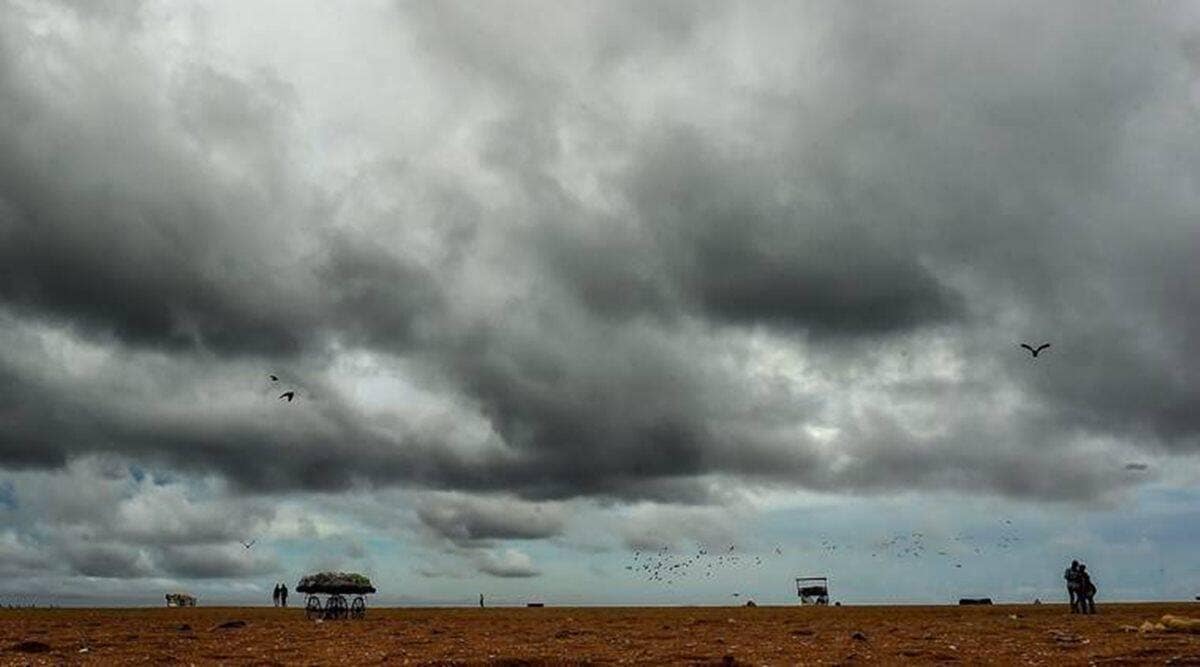
 The Met Office has warned fishermen not to venture into the deep-sea area of the central Bay of Bengal from Saturday and along and off Odisha and West Bengal coasts between October 23 and 26. (File)
Cyclone Sitrang Live Updates: The Low Pressure Area over north Andaman Sea and south-east Bay of Bengal intensified into a Depression on Saturday morning, the India Meteorological Department (IMD) said. It is likely to move north-westwards till Sunday morning (October 23) and recurve north-northeastwards, intensify into a cyclonic storm, the weather body added. The cyclone is expected to cross Bangladesh and adjoining West Bengal coast on Tuesday morning (October 25).
Thereafter, it would continue to move north-northeastwards and cross the Bangladesh coast, between Tinkona Island and Sandwip, around October 25 morning. According to the forecast, Sundarbans, on both sides of the international border, is likely to receive the maximum impact.
West Bengal and Odisha are on alert over the possible cyclone, the first to form in the Bay of Bengal in the month of October since 2018. Coastal districts of Odisha and West Bengal will receive widespread heavy rainfall till Tuesday, with moderate to heavy rainfall likely over southern Assam, east Meghalaya, Nagaland, Mizoram, Manipur and Tripura on Monday, the IMD said. Further, extremely heavy rainfall will lash Tripura and Mizoram on Tuesday and Wednesday.
Rough sea conditions with squally wind speeds ranging between 35-45 kmph gusting to 55 kmph along Odisha and West Bengal coasts, Andaman Islands and adjoining north Andaman Sea would prevail on Sunday.

Depression over eastcentral Bay of Bengal moved northwestwards with a speed of 17 kmph during past 6 hours, intensified into a Deep Depression and lay centered at 5:30 a.m as of today, the 23rd October over the same region near latitude 15.4N and longitude 89.0E, about 580 km northwest of Port Blair, 700 km south of Sagar Island and 830 km south of Barisal (Bangladesh).
It is very likely to move northwestwards during next 12 hrs and intensify into a cyclonic storm over central Bay of Bengal. Thereafter, it would recurve and move north-northeastwards and cross Bangladesh coast between Tinkona Island and Sandwip around 25th October early morning.