Top Searches
- News
- City News
- bengaluru News
- Bengaluru: Google, traffic cops tie up to cut waiting time at junctions
Bengaluru: Google, traffic cops tie up to cut waiting time at junctions

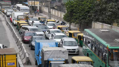
File photo used for representational purpose.
BENGALURU: Google on Wednesday announced its partnership with Bengaluru traffic police to optimise traffic light timings.
“This is helping the local traffic authority manage road congestion at key intersections, and will eventually scale across the city. Google will further expand this to Kolkata and Hyderabad in partnership with local traffic authorities,” said a press release from the company.
It added: “Supporting the efforts of local traffic authorities to promote safe driving, Google Maps will now show speed limits data shared by the traffic authorities, starting with Bengaluru.”
Google has also announced the launch of its street view experience in India in partnership with Genesys International and Tech Mahindra.
“Street View is available on Google Maps with fresh imagery licensed from local partners covering over 150,000km across 10 cities in India, including Bengaluru, Chennai, Delhi, Mumbai and Hyderabad.
It has plans to expand this to more than 50 cities by the end of 2022. This India launch is the first time in the world that Street View is being brought to life completely by local partners,” it said.
Ravikanthe Gowda, joint commissioner of police (traffic), Bengaluru said, “We are the first Indian city to have started a pilot with Google. As per the data provided by the company, the revised plan by Google resulted in an average 20% reduction in waiting time per driver going through the pilot intersection during the day. We are excited by the positive impact this can have on reducing traffic congestion, road rage, fuel consumption, and greenhouse gas emissions.”
Further, the release stated: “Google has additionally partnered with traffic authorities and aggregators to help people across eight cities in India, including Bengaluru, Delhi and Hyderabad, helping them...avoid congestion zones with information on road closures and incidents.”
“In India, Google recently piloted its Environmental Insights Explorer, a free tool designed to help cities and local governments measure emissions and identify reduction strategies with the help of public transport activity data. Bengaluru, Chennai, Pune and Aurangabad are using transport emissions data from EIE to develop Climate Action Plans,” it said.
“Google additionally announced its collaboration with the Central Pollution Control Board to help people in India make more informed travel decisions by equipping them with authoritative air quality information. People can access this information overlay by tapping the ‘Layers’ button at the top right in their Maps app and selecting the ‘Air Quality’ option,” it added.
FOLLOW US ON SOCIAL MEDIA
FacebookTwitterInstagramKOO APPYOUTUBE
Start a Conversation
end of article


