

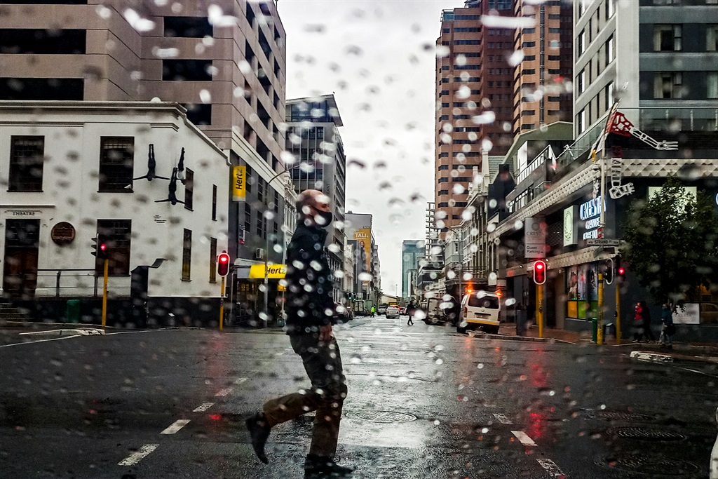
- An intense cold front with heavy downpours is expected to make landfall on Sunday night in the Western Cape.
- The SA Weather Service issued a level 4 yellow warning on Friday.
- Local Government, Environmental Affairs and Development Planning MEC Anton Bredell, said he was deeply concerned by the weather advisory.
An intense cold front is expected to make landfall in the Western Cape on Sunday and disaster risk management agencies are urging residents to be cautious.
On Friday afternoon, the SA Weather Service (SAWS) issued a level 4 yellow warning.
"A series of intense cold fronts are expected to make landfall over the western parts of the Western Cape on Sunday and Monday evening, resulting in high rainfall amounts mainly in the south-western parts of the province on Tuesday evening.
"Rainfall accumulations are expected to reach between 50 to 80 mm over the mountainous areas. These high rainfall accumulations are likely to cause localised flooding in these areas," SAWS said in a statement.
Local Government, Environmental Affairs and Development Planning MEC Anton Bredell, said he was deeply concerned by the weather advisory warning of potential flooding and damage to infrastructure in low lying areas from Sunday evening into Wednesday next week.
“Our Disaster Management Centre is on high alert for storm winds and significant downpours of between 50mm and 80mm in the mountainous areas of the Metropole, Cape Winelands and Overberg during this time," he said.
According to the advisory, strong north-westerly winds, gusting at between 50 to 60km/h and up to 70 to 80km/h were expected for Sunday ahead of the cold front in the Western Cape. These winds were likely to cause damage to structures in formal and informal settlements.
"We are also concerned about the possibility of wildfires, as we have had to deal with two large fires in Milnerton and in Somerset West respectively this past week. The strong winds preceding the rains, together with dry veld conditions, are increasing the risk for fires. Be as responsible with fire as you would be during the summer," Bredell said.
The MEC urged residents to be cautious when outdoors and to stay away from water courses.
The City of Cape Town said services were on standby to deal with any impacts related to the predicted adverse weather conditions, like clearing flooded roadways, blocked drains and trees.
Disaster Risk Management Centre spokesperson Charlotte Powell, said: "We appeal to residents to help reduce flood risk where necessary by: clearing out drainage systems, raising the floor level of a structure so that it is higher than the natural ground level, making sandbags, digging trenches around the house to divert water away, reporting blocked drains, intakes and illegal dumping - illegal dumping in the stormwater canals and sewers makes flooding worse."
We want to hear your views on the news. Subscribe to News24 to be part of the conversation in the comments section of this article.