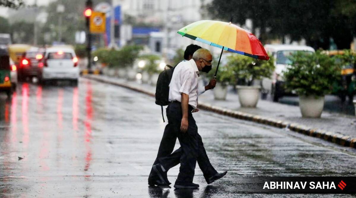
 In it's bulletin, IMD said that a wet spell was likely over northwest India from May 20 to 24. (Express/File)
India Weather highlights: A heatwave seared Delhi on Friday before thundershowers and gusty winds brought some respite towards the evening. A fresh western disturbance will lead to rain and thunderstorms in northwest India starting Sunday. As a result, the maximum temperature in Delhi will drop to 37 degrees Celsius by Tuesday. Due to this no heatwave is likely for a week. The weather department has predicted the abetment of heatwave across the country from today.

At least 10 districts in Kerala will receive heavy rainfall on Saturday and Sunday with the IMD issuing a Yellow alert, while the Idukki district administration has opened the shutters of Kallarkutty and Pambla dams to release excess water. The India Meteorological Department (IMD) has issued Yellow alert for Thiruvananthapuram, Kollam, Pathanamthitta, Alappuzha, Kottayam, Ernakulam, Idukki, Thrissur, Malappuram and Kozhikode districts for today whereas Wayanad too has Yellow alert on May 22.
Widespread rainfall with gusty winds are very likely over Western Himalayan Region during the next 5 days, the India Meteorological Department said in its latest bulletin. Hailstorm is predicted over Himachal Pradesh, Uttarakhand, Punjab, Haryana and western Uttar Pradesh from today. Coastal and southern Karnataka and Kerala are likely to see extremely heavy rainfall on Saturday. Rainfall intensity in these regions is likely to reduce after Sunday.
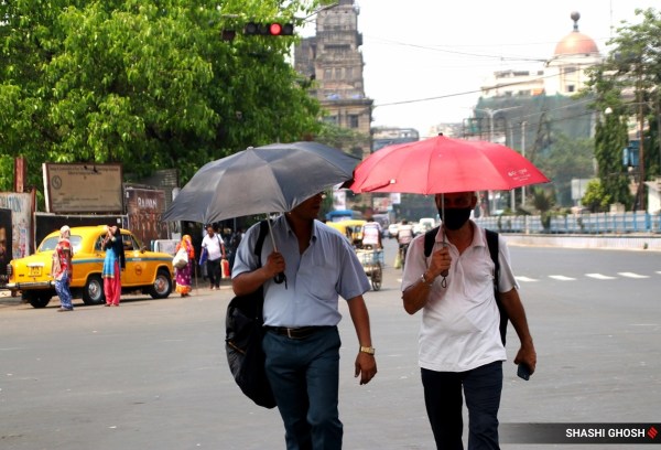 Heatwaves can last between 4 and 10 days, and occasionally for longer (Express photo by Shashi Ghosh)
Scorched by a heatwave, northwestern parts of India can expect some respite over the three days as an extra-tropical weather system is likely to bring showers over the region with peak intensity rains forecast for Monday.
The weather office said light to moderate rainfall was likely over Jammu & Kashmir, Himachal Pradesh, Uttarakhand, while Punjab, Haryana and Uttar Pradesh were expected to experience scattered showers over the next two days.
The India Meteorological Department has forecast a fall in maximum temperatures by 3-4 degrees Celsius over most parts of Northwest India during the next three days and no significant change thereafter. (PTI)
Thunderstorm/duststorm with light to moderate intensity rain and gusty winds with speed of 50-60 km/h will occur over and adjoining areas of entire Delhi and NCR (Loni Dehat, Ghaziabad, Indirapuram, Chhapraula, Noida, Dadri, Greater Noida, Gurugram, Faridabad, Manesar, Ballabhgarh) Karnal, Fatehabad, Rajaund, Assandh, Safidon, Barwala, Jind, Panipat, Adampur, Hissar, Gohana, Gannaur, Hansi, Meham, Sonipat, Tosham, Rohtak, Kharkhoda, Bhiwani, Charkhi Dadri, Mattanhail, Jhajjar, Farukhnagar, Kosali, Mahendargarh, Sohana, Rewari, Palwal, Narnaul, Bawal, Nuh, Aurangabad, Hodal (Haryana) Deoband, Nazibabad, Shamli, Muzaffarnagar, Kandhla, Bijnaur, Khatauli, Sakoti Tanda, Hastinapur, Chandpur, Baraut, Daurala, Bagpat, Khekra, Modinagar, Amroha, Moradabad, Rampur, Pilakhua, Hapur, Gulaoti, Billari, Milak, Sikandrabad, Chandausi, Bulandshahar, Bahajoi, Bareilly, Khurja, Badayun (U.P.) Bhiwari, Tizara (Rajasthan) during next two hours.
The monsoons bring destruction to Assam like a clockwork almost every year. However, this year, while the monsoons are yet to arrive, the state has already been beset by floods and landslides that have left 15 people dead and more than 7 lakh affected. The hill district of Dima Hasao, in particular, has been ravaged by flash floods and landslides, with connectivity to the rest of the state snapped. Read full Explainer here
States located in northwest and east parts of India are likely to witness wet spells from May 21 to 24, with peak intensity on May 23, the India Meteorological Department (IMD) has predicted.
“Under the influence of current western disturbance as a cyclonic circulation over north Pakistan and neighbourhood in lower tropospheric levels with a trough aloft in middle tropospheric levels, and a fresh approaching western disturbance and an east-west trough from northwest Rajasthan to east Assam in lower tropospheric levels, fairly widespread to widespread light/moderate rainfall with isolated thunderstorm/lightning/gusty winds very likely over Jammu& Kashmir, Himachal Pradesh and Uttarakhand; scattered rainfall activity over Punjab, Haryana, Uttar Pradesh and isolated rainfall activity over Rajasthan during 21st-24th with peak rainfall intensity on 23rd May, 2022,” the Met Department said.
After two days of poor to very poor Air Quality Index in Mumbai, the pollution levels dropped on Saturday morning. The system of Air Quality Weather Forecasting And Research (SAFAR) recorded an AQI of 197, which falls in the moderate category, a drop from 309 and 286 AQIs on Thursday and Friday, respectively.
According to SAFAR’s forecast, the AQI is likely to remain in the moderate category for the next two days. “AQI of Mumbai indicates ‘upper end of moderate’ and likely to be within ‘moderate’ for the next 2 days,” SAFAR said. Read more
Appealing to the people, especially youngsters, to become active agents to improve the air quality by adopting sustainable lifestyles, appropriate behaviour and attitude, Union Minister for Environment, Forest & Climate Change, Bhupender Yadav stressed that "Jan Bhagidari" or participative governance held the key to ensure "clean air for all." Emphasising that it's time to make "clean air for all" a participative mission, the Minister said the air quality improvement efforts have shown positive trends in achievement of better air quality in cities across the country.
"But if we wish to achieve what we aspire, then, 'Jan Bhagidari' or participative governance holds the key,” he said while inaugurating a sensitisation-cum-review workshop – National Clean Air Programme (NCAP) and XV-FC Million Plus Cities Challenge Fund (XV-FC MPCCF) of the southern region here.
The southern region comprises Tamil Nadu, Andhra Pradesh, Karnataka, Telangana, Kerala, Andaman & Nicobar, Lakshadweep, Pondicherry, Daman and Diu and Dadar and Nagar Haveli. (PTI)
As many as 33 have people died in 16 districts of Bihar due to gale storms, lightning and heavy rains. Chief Minister Nitish Kumar on Friday announced financial aid of Rs 4 lakh each to the kin of the people who lost their lives in the hailstorm. The CM’s office said that after assessing crop and house damage, instructions will be given to provide assistance to the affected families.
Heavy rains accompanied by strong winds and lightning have hit several districts of Bihar since the afternoon of May 19, leaving a trail of destruction, including uprooted trees, which have obstructed roads and damaged electric poles, interrupted vehicular travel and power supply. Read more
Light rainfall, strong winds and a dust storm or thunderstorm could occur over parts of south and southeast Delhi, and parts of the NCR, including Gurgaon, Faridabad and Manesar, on Saturday morning, according to an India Meteorological Department (IMD) update at around 9 am, issued for the subsequent two hours.
The maximum temperature on Saturday could fall below 40 degrees Celsius and settle at 39 degrees, going by the IMD forecast. Dust storms or thunderstorms remain on the forecast for Saturday, after parts of Delhi witnessed strong winds, rainfall and lightning on Friday evening. In the past 24 hours, the Safdarjung weather station recorded 0.8 mm of rainfall, while the weather station at Palam recorded 2.4 mm. The weather observatory at Aya Nagar recorded 3.3 mm of rainfall, while the one at Lodhi Road registered 1.5 mm. Read more
Atleast 10 districts in Kerala will receive heavy rainfall on Saturday and Sunday with the IMD issuing a Yellow alert, while the Idukki district administration has opened the shutters of Kallarkutty and Pambla dams to release excess water.
The India Meteorological Department (IMD) has issued Yellow alert for Thiruvananthapuram, Kollam, Pathanamthitta, Alappuzha, Kottayam, Ernakulam, Idukki, Thrissur, Malappuram and Kozhikode districts for today whereas Wayanad too has Yellow alert on May 22.
A red alert indicates heavy to extremely heavy rains of over 20 cm in 24 hours, while orange alert means very heavy rains from 6 cm to 20 cm of rain. A yellow alert means heavy rainfall between 6 to 11 cm. (PTI)
Coastal and southern Karnataka and Kerala are likely to see extremely heavy rainfall on Saturday. Rainfall intensity is likely to reduce after Sunday.
Moderate rainfall activity is also predicted over Arunachal Pradesh today and Assam, Meghalaya, Bengal and Sikkim during the next 2 days.
Hailstorm is predicted over Himachal Pradesh, Uttarakhand, Punjab, Haryana and western Uttar Pradesh from today, the India Meteorological Department said in its latest bulletin.
Rainfalls and thunderstorms are likely over northwest and east India in the next four days. Widespread rainfall with gusty winds are very likely over Western Himalayan Region during the next 5 days, the India Meteorological Department said in its latest bulletin.
A cyclonic circulation persisting over Punjab and Haryana will lead to intermittent thundershowers in Delhi on Saturday, weather forecasters said. A fresh western disturbance will lead to rain and thunderstorms in northwest India starting Sunday. As a result, the maximum temperature in Delhi will drop to 37 degrees Celsius by Tuesday.
"Back-to-back western disturbances will continue to give intermittent respite from the heat. No heatwave is likely for a week," said Mahesh Palawat, vice-president (meteorology and climate change) at Skymet, a private weather forecasting agency.
A heatwave seared Delhi on Friday before thundershowers and gusty winds brought some respite towards the evening.Delhi's primary weather station, Safdarjung Observatory, recorded a maximum temperature of 44.4 degrees Celsius, five notches above normal.
The mercury jumped to 47.5 degrees Celsius at Najafgarh in southwest Delhi and 47.1 degrees Celsius at Mungeshpur in the northwestern parts of the city.The weather stations at Pitampura, Sports Complex, Jafarpur, Ridge and Palam saw the mercury leaping to 47 degrees Celsius, 46.2 degrees Celsius, 46.1 degrees Celsius, 46 degrees Celsius, 45.7 degrees Celsius and 45.1 degrees Celsius respectively.
A partly cloudy sky, a drizzle and hail brought temporary relief to some parts of the city in the evening.
Indian Air Force today deployed its Chinook heavylift helicopters to deploy NDRF personnel in the flood-affected areas of Haflong, Assam. The choppers also helped in evacuating the people stranded in the area: IAF officials (ANI)