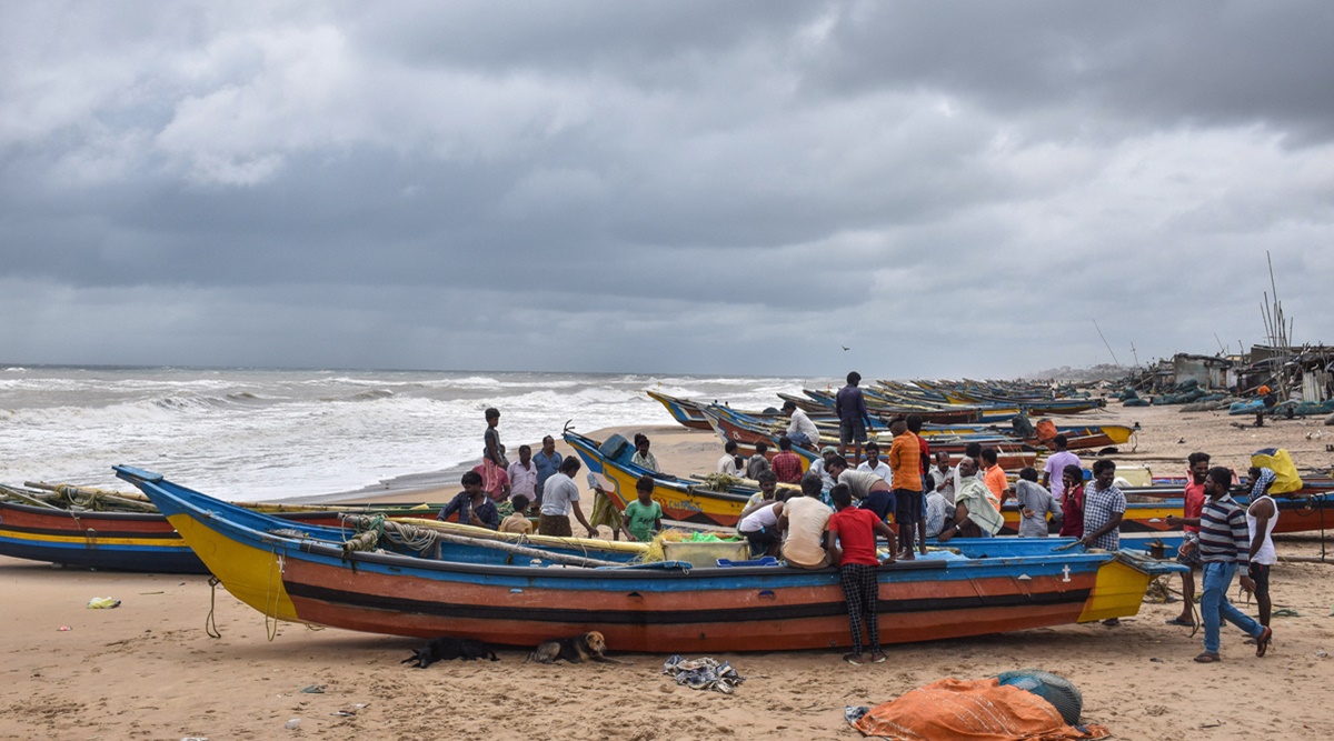
 “Cyclones in March in the North Indian Ocean may be few but are not rare... In the month of March, we do not get many intense systems,” he said.(Representational Photo)
 IF THE brewing system in the Bay of Bengal intensifies, it could lead to the first cyclone in March since 2000 in the North Indian Ocean region that also includes the Arabian Sea. And if that happens, the cyclonic storm will be called Asani, the name given by Sri Lanka.
According to latest updates shared by India Meteorological Department (IMD) on Friday, the system is likely to cross Bangladesh and north Myanmar on the morning of March 22, sparing mainland India.
“By Saturday, it is expected to become a well-marked low pressure area (wind speed less than 31 km/hr) and on Sunday, it may turn into a depression (wind speeds between 31 and 50 km/hr). The maximum intensity it may go up to is that of a cyclone with wind speeds ranging between 70-80 km/ hr,” Dr Mrutyunjay Mohapatra, Director General, IMD told The Indian Express.
“Cyclones in March in the North Indian Ocean may be few but are not rare… In the month of March, we do not get many intense systems,” he said.
Heavy to very heavy rainfall (64.5mm to 204.4mm in 24 hours) is forecast over the Andaman and Nicobar islands till Tuesday. And rough sea conditions, due to squally winds with speeds ranging between 55 and 65 km/hr reaching 75 km/hr, are likely to be recorded close to the Andaman and Nicobar islands, southeast Bay of Bengal and the Andaman Sea. Fishermen have been warned from venturing into the deep sea till Tuesday.
The IMD chief also warned of a possible disruption to airline services to the islands and chances of trees being uprooted due to wind and heavy rainfall in the coming days.
There have been only eight cyclonic disturbances in March in the North Indian Ocean region between 1891 and 2021. According to IMD’s cyclone atlas maintained for this period, a majority were cyclonic disturbances –1907, 1924 , 1925, 1928, 1938, 1994, 2000 and 2018 — which remained as depressions either formed in the Bay of Bengal or the Arabian Sea.
According to IMD, this region displays biannual cyclonic activity, with the maximum seen during the pre-monsoon months of March-May and the post-monsoon period of October to December, with peaks in May and November.
Mohapatra said weather systems during March mostly originate towards the southern Bay of Bengal. The main driving fuel, among the other factors, for any system in the sea to intensify and become a cyclone is the amount of energy it acquires from the warm seas.
“March is a month of seasonal transition from winter to summer. Usually, heating over the central and northern Bay of Bengal regions are still picking up and may not be sufficiently warm enough to fuel a strong cyclone, especially in March,” Mohapatra said.
This trend could be seen in the past, as six systems between 1891 and 2021 dissipated while over the sea. Only one crossed the Tamil Nadu coast, in 1925, and the other crossed Sri Lanka in 1907, IMD officials said.
Roxy Mathew Koll, senior scientist at the Indian Institute of Tropical Meteorology (IITM), Pune, and an Indian Ocean expert, said: “It is only by May or June that the Bay of Bengal would be sufficiently warm enough to support intense storms. Presently, the central and northern Bay of Bengal may be warm, but not enough to fuel a strong cyclone.”
On the present system, Koll said that even if Asani intensifies into a cyclone, it would be for a shorter time period.
The IMD’s cyclone atlas further noted that only one cyclonic disturbance originated in the Arabian Sea in March 2018 and that there has never been a full-fledged cyclone there since 1891. “That is because the Arabian Sea is much cooler in comparison to the Bay of Bengal,” Koll said.
Meanwhile, due to the presence of a trough, Kerala, Tamil Nadu, Karaikal, Mahe, coastal Andhra Pradesh and south Karnataka will receive light to moderate rainfall during the next three to four months.
- The Indian Express website has been rated GREEN for its credibility and trustworthiness by Newsguard, a global service that rates news sources for their journalistic standards.

