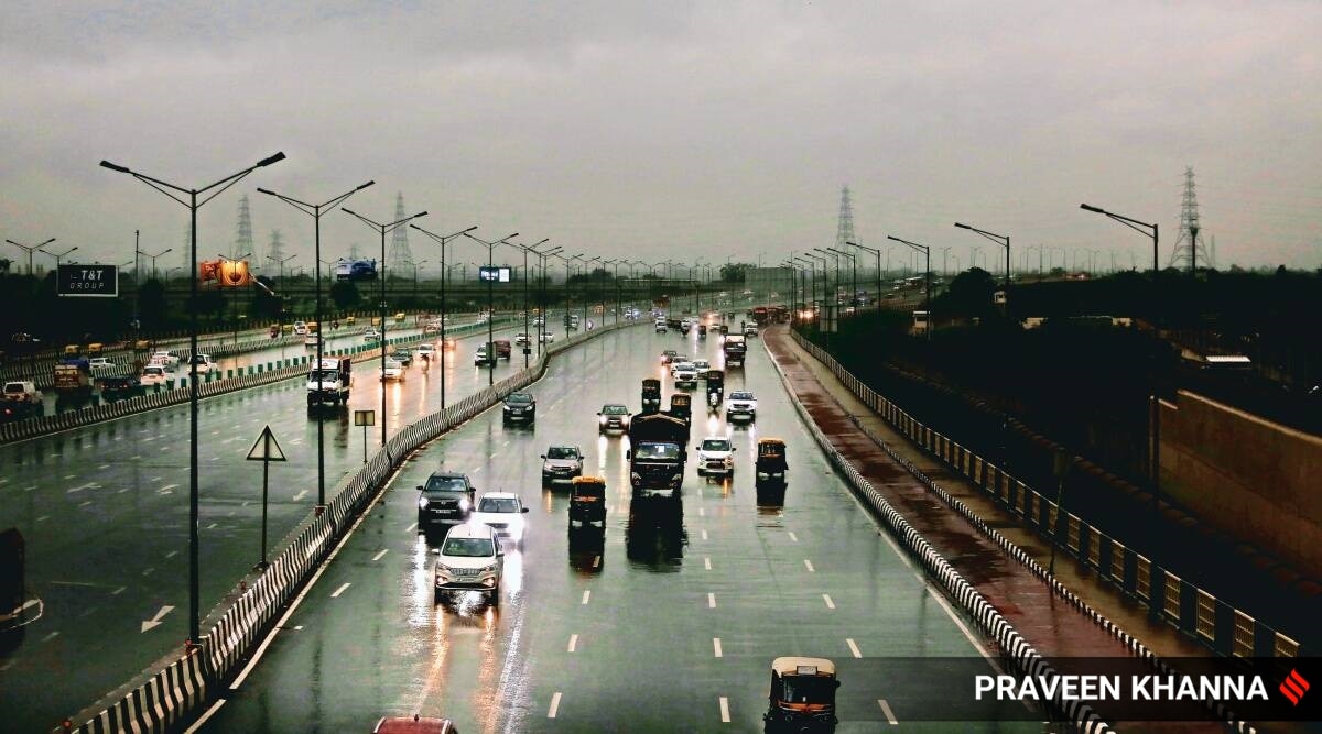
 Record rainfall, frequent western disturbances and strong winds made this January the cleanest in Delhi since 2015. (Representational photo by Praveen Khanna)
 Another western disturbance is likely to affect Northwest India from the night of February 8 and could bring overcast skies and light rainfall to Delhi on February 9, according to the India Meteorological Department (IMD).
Western disturbances are storms that bring winter rainfall. A western disturbance had brought rainfall, cloudy skies, and lower than normal daytime temperatures to Delhi last week as well.
On Monday, the IMD forecast indicates that the maximum temperature is likely to be 25 degrees Celsius and the minimum temperature could be 6 degrees Celsius. Over the past 24 hours, the maximum temperature was 24.2 degrees Celsius, a few notches higher than the maximum temperatures recorded last week. The minimum temperature recorded early on Monday was 8.8 degrees Celsius.

A gradual rise in minimum temperature by 2 to 4 degrees is likely over parts of northwest India during the next two days, according to an IMD update issued on Monday. Over the week, the maximum temperature is likely to range from 19 degrees to 25 degrees Celsius. The temperature at 8.30 am on Monday was 11.8 degrees Celsius, and the relative humidity at the same time was 87 per cent.
On Monday and Tuesday, the Air Quality Index (AQI) is likely to be in the ‘very poor’ category, and could improve on Wednesday with the expected rainfall, according to the System of Air Quality and Weather Forecasting And Research (SAFAR) forecasting system. Over the weekend, the air quality was in the ‘poor’ category. On Sunday, the AQI was 285, having deteriorated from 224 on Saturday. Calm winds have prevented the dispersion of pollutants, the SAFAR forecast indicates.
From February 1 to 3, the AQI remained in the ‘very poor’ category, before it improved to be in the ‘moderate’ category on February 4 along with the rainfall and strong winds last week.

- The Indian Express website has been rated GREEN for its credibility and trustworthiness by Newsguard, a global service that rates news sources for their journalistic standards.
