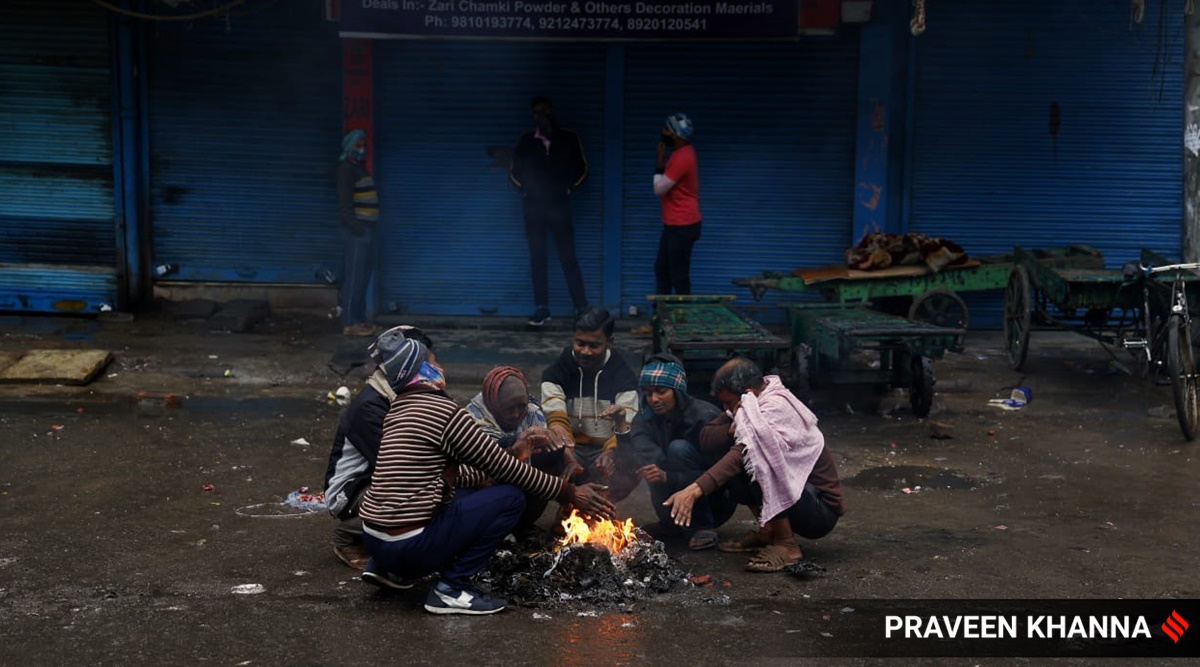
 In keeping with the recent pattern this month, the minimum temperature on Thursday was above normal, at 9.8 degrees Celsius, while the maximum temperature was below normal at 19.1 degrees Celsius. (Praveen Khanna/File)
 While Delhi’s average minimum temperature so far this January has been higher than that recorded over the past five years in the first 20 days of the month, the average maximum temperature has, in contrast, has been lower when compared to figures in the same period.
At the Safdarjung weather observatory, from January 1 to 20 this year, the average minimum temperature was 8.6 degrees Celsius – highest for the first 20 days of January from 2017 onwards. The corresponding figure for January 2021 was 7.8 degrees Celsius, while it was 7.9 degrees Celsius in 2020, 6.4 degrees in 2019 and 2018, and 7.5 degrees in 2017.
The Safdarjung weather station provides representative data for the city.
The average maximum temperature from January 1 to 20 this year was 18 degrees Celsius, marginally lower than the average of 18.8 degrees Celsius in 2021, and 18.9 degrees Celsius in 2020. In 2019, the average maximum temperature was a few notches higher at 21.3 degrees Celsius, while it was even higher at 22.3 degrees in 2018. In 2017, the corresponding figure was 20.5 degrees Celsius.
According to the India Meteorological Department, the average daily minimum temperature for January from 1981 to 2010 was 7.6 degrees Celsius while the average daily maximum temperature was 20.5 degrees Celsius.
At Safdarjung, the lowest minimum temperature in January so far this year has been 4.2 degrees Celsius on the 1st. This is warmer than the lowest minimum of 1.1 degrees Celsius on January 1 last year, and 2.4 degrees Celsius on January 1 in 2020. It is also marginally higher than the lowest minimum temperature of 4 degrees Celsius on Jan 1 in 2019.
Colder days, warmer nights
The maximum temperature has remained below 20 degrees Celsius on 14 out of 20 days of the month so far. Two days at the Safdarjung weather observatory have been ‘cold days’ – when the maximum temperature was 4.5 to 6.4 degrees below normal.
In keeping with the recent pattern this month, the minimum temperature on Thursday was above normal, standing at 9.8 degrees Celsius, while the maximum temperature was below normal at 19.1 degrees Celsius.
R K Jenamani, senior scientist, IMD, said that colder days can be attributed to clouds that prevent sunlight from reaching the surface. Cold winds during the day can also lower the temperature. In contrast, cloud cover at night means that the night will be warmer, he said. Clouds trap the heat released by the surface at night. “Clear skies, less pollution and less moisture would ensure a colder night. Both the day and night might be colder if there are strong winds,” he said.
“This year, there were no windy conditions but cloudy skies prevailed leading to warmer nights and colder days,” he explained.
In terms of western disturbances as well, this year stands out. “Last year, we had a western disturbance from January 2 to 6, and no follow-ups thereafter. This season, we have had a huge active western disturbance from January 7 to 10, which brought two days of rainfall and snow. We have not had such a western disturbance in recent years,” Jenamani said.
Another western disturbance is likely to bring rainfall to parts of northwest India from Friday onwards. In the gap between the two western disturbances, clouds have been keeping nights warmer and days colder.
Western disturbances are storms from the Mediterranean region that bring winter rainfall to northwest India.

- The Indian Express website has been rated GREEN for its credibility and trustworthiness by Newsguard, a global service that rates news sources for their journalistic standards.
