 Incessant rain causes water-logging at several parts of Chennai. IMD has predicted light to moderate rainfall at most places with heavy to very heavy rainfall at a few places and extremely heavy falls at isolated places over north coastal Tamil Nadu, Puducherry, north interior Tamil Nadu. (Picture: ANI)
Chennai rains live, Chennai weather Today November 11 Live Updates: Depression in the Bay of Bengal caused heavy rains in Tamil Nadu last night. There were water-loggings in several parts of Chennai due to incessant rain. Thunderstorm with heavy to very heavy rain is likely to occur at isolated places over Thiruvallur, Chennai, Chengalpattu, and Kanchipuram districts of Tamil Nadu within the next three hours, the India Meteorological Department (IMD) in its latest update said.
The IMD said the weather system was moving west-northwestwards at a speed of 21 km per hour. It lay about 170 km east-southeast of Chennai and 170 km east of Puducherry at 5.30 am. The weather department said it was likely to continue moving west-northwestwards and cross north Tamil Nadu and adjoining Andhra Pradesh coasts between Karaikal and Sriharikota, close to the north of Puducherry, by Thursday evening. IMD has predicted light to moderate rainfall at most places with heavy to very heavy rainfall at a few places and extremely heavy falls at isolated places over north coastal Tamil Nadu, Puducherry, north interior Tamil Nadu.
Here are the latest, verified weather updates from Chennai and other regions of Tamil Nadu:
Highlights
Today, we're expecting widespread rains over south interior Karnataka. From Nov 12-15, rains will be fairly widespread, isolated heavy rainfall expected in some districts of south interior Karnataka: Dr Geeta Agnihotri, IMD- Bengaluru (ANI)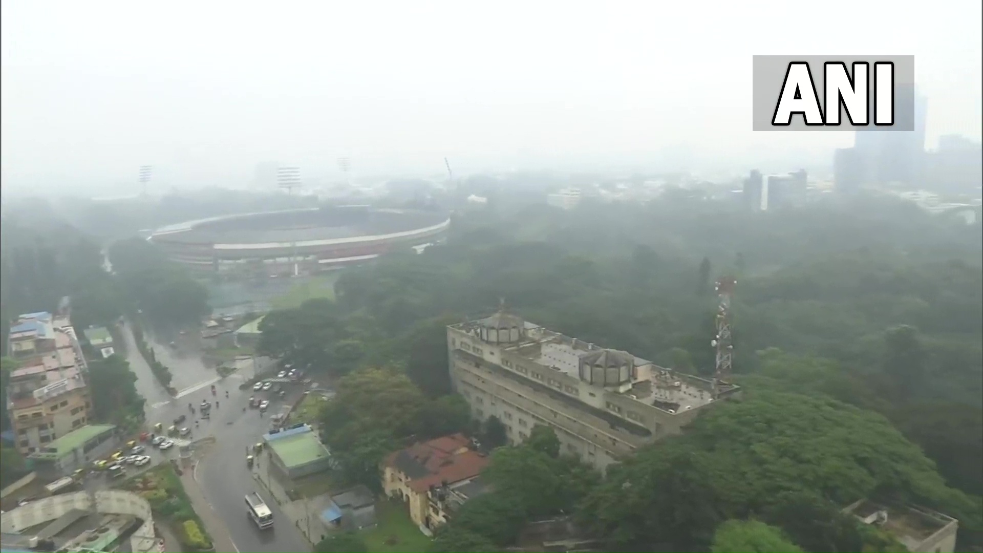
https://platform.twitter.com/widgets.js
Due to overnight rainfall, there is waterlogging in parts of Chennai today. 13 subways waterlogged will be cleared, 160 fallen trees removed. In last 4 days, almost 20 lakh people given food packets in Chennai: Kumar Jayanth, Principal Secy, Revenue Dept, Tamil Nadu (ANI)
Due to overnight rainfall, there is waterlogging in parts of Chennai today. 13 subways waterlogged will be cleared, 160 fallen trees removed. In last 4 days, almost 20 lakh people given food packets in Chennai: Kumar Jayanth, Principal Secy, Revenue Dept, Tamil Nadu (ANI)
https://platform.twitter.com/widgets.js
Heavy rainfall is very likely to occur in Andhra Pradesh at one or two places over Visakhapatnam, East Nellore, Chittoor, Kadapa, Guntur, Anantapur, Godavari, West Godavari, Krishna, and Kurnool districts. The MET authorities have also warned against localised flooding of roads from flooding of catchment areas, waterlogging in low-lying areas leading to the closing of underpasses in urban areas, localised landslides, mudslides, and damage to vulnerable structures. has also. READ MORE
Most districts in northern Tamil Nadu including Chennai are likely to receive heavy to very heavy rainfall, Deputy Director General of Meteorology, S Balachandran said, even as the city and its suburbs received sharp showers all through the night and on Thursday morning as well. Tamil Nadu Chief Minister M K Stalin reviewed the situation and urged the Ministers and officials concerned to expedite relief activities in affected areas. (PTI)
https://platform.twitter.com/widgets.js
https://platform.twitter.com/widgets.js
The depression over Bay of Bengal will cross the coast between north Tamil Nadu and south Andhra Pradesh this evening and the city would witness "strong" winds up to 45 km, the weather office here said on Thursday. Districts in northern Tamil Nadu including Chennai, Kancheepuram and Villpuram are likely to receive heavy to very heavy rainfall, Deputy Director General of Meteorology, S Balachandran said, even as the city and its suburbs received sharp showers all through the night. The depression over southwest Bay of Bengal moved west-northwestwards with a speed of 21 kmph during past six hours and lay centred at 5.30 AM on Thursday over southwest Bay of Bengal, about 170 km east-southeast of Chennai and 170 km east of Puducherry, the India Meteorological Department said in a bulletin. "It is very likely to continue to move west-northwestwards and cross north Tamil Nadu & adjoining south Andhra Pradesh coasts around Chennai by the evening of today," it added. As a result, Balachandran said, Chennai would witness "strong surface winds" ranging between 40-45 km, he told reporters. "People should not venture out unnecessarily," he said. Citing latest data, he said Tambaram (Chengalpet dt) received 232.9 mm, followed by Cholavaram (220 mm) and Ennore at 205 mm. The system was being constantly monitored, he said in response to a question. (PTI)
https://platform.twitter.com/widgets.js
https://platform.twitter.com/widgets.js
https://platform.twitter.com/widgets.js
The Depression over southwest Bay of Bengal lies about 140 km southeast of Chennai,to cross b/w north TN-south Andhra Pradesh around Chennai by today evening. Strong winds to prevail, extremely heavy to heavy rainfall likely to occur in 6 districts:Dy Director General, IMD-Chennai (ANI)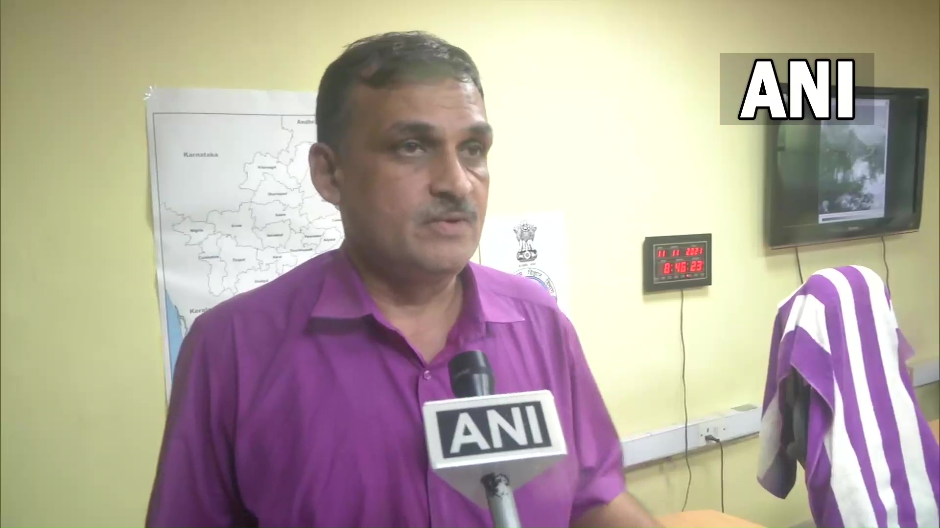
Thunderstorm with heavy to very heavy rain is likely to occur at isolated places over Thiruvallur, Chennai, Chengalpattu and Kanchipuram districts of Tamil Nadu within next three hours (issued at 3:55 am): IMD (ANI)
Tamil Nadu has recorded 50 per cent plus rainfall above normal during the ongoing North East monsoon season from October 1 till date and 53 of the 90 key reservoirs crossed 76 per cent storage, authorities here said on Wednesday. During this period, the rainfall recorded in Tamil Nadu and Puducherry was 38 CM, which is 51 per cent above normal, 25 CM being the usual level. As regards Chennai district, for the same period, the experienced downpour was 61 CM while the usual is 41 CM, which is 50 per cent above normal, Deputy Director General of Meteorology, S Balachandran told reporters in Chennai. (PTI)
https://platform.twitter.com/widgets.js