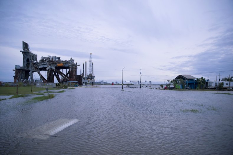
Flash Flood Watch Issued As Storms and Heavy Rainfall to Hit Texas
A flash flood watch is in effect for parts of northern Texas through 7:00 p.m. local time Monday as the National Weather Service urges Texans to "Stay weather aware!"
Heavy rain will be a threat through this morning, with the showers and storms expected to move east by the early evening. A severe thunderstorm watch is in effect for parts of northern Texas through 10:00 a.m. local time Monday morning, and Texans can expect damaging wind gusts of up to 75 mph, isolated large hail of up to 2 inches, as well as frequent lightning.
CBS 11 Weather forecasts that the complex of storms that arrived in northern Texas overnight will move into the western counties before moving east in the early morning, bringing with them heavy rain.
The leading edge of the system carries the threat of strong to severe storms, with the potential for damaging winds and hail the size of a quarter. The storms are expected to weaken in terms of winds and hail potential as they move east, but the threat of flooding will likely increase.
The flash flood watch applies to parts of north-central Texas and northeast Texas, including the following areas of north-central Texas: Collin, Cooke, Dallas, Denton, Ellis, Fannin, Grayson, Hill, Hood, Hunt, Jack, Johnson, Kaufman, Montague, Navarro, Palo Pinto, Parker, Rockwall, Stephens, Tarrant, Wise and Young.
In northeast Texas, the impacted areas include Anderson, Delta, Henderson, Hopkins, Lamar, Rains and Van Zandt.
Rainfall totals of 1 to 3 inches, with isolated amounts near 5 inches, are expected and flooding may occur in urban areas and areas with poor drainage. The heavy rainfall may also cause creeks, streams, and rivers to flood. The soil in the flood watch area remains near or at saturation, and runoff will quickly occur, potentially resulting in flash flooding.
According to the National Weather Service, a "Flash Flood Watch" means that conditions may develop that lead to Flash Flooding, and those in areas under a watch should know that: "Flash flooding is a very dangerous situation. You should monitor the latest forecasts and be prepared to take action should Flash Flood Warnings be issued."
There is also a Flash Flood Watch in areas surrounding North Texas, including in areas of Arkansas, northwestern Louisiana, and southeastern Oklahoma.
In Arkansas, the impacted areas are Columbia, Hempstead, Howard, Lafayette, Little River, Miller, Nevada, Sevier and Union. In northwest Louisiana, Bossier, Caddo, Claiborne and Webster counties are affected, as well as McCurtain County in Oklahoma.


