Just two hours after Hardin County Judge Wayne McDaniel issued a disaster declaration Friday, he issued a notice of voluntary evacuations for residents in low-lying areas.
This decision came just after the National Hurricane Center increased the chances of tropical development in the western Gulf of Mexico to 60% on Friday.
“Those residents and businesses located in low-lying areas should strongly consider evacuating themselves and their pets/livestock from those areas, and please do not forget to ensure your important documents are either with you or in a safe place (such as a safe deposit box or in a family member’s safe in a non-threatened area),” McDaniel said in a press release.
“This notice of voluntary evacuation is issued so that those who are in the floodplain evacuate now while they have time, or at least begin to prepare for the possibility of a mandatory evacuation order, should that become necessary. … We do not want our first responders to be put into harm’s way to rescue people from floodwaters, which can rise quickly and move swiftly, especially during the darkness of night.”
Low-lying areas included all areas along the Neches River, Village Creek, Pine Island Bayou and other waterways. Low-lying areas include homes and businesses located in the floodplain and click here for map provided by the Texas Water Development board.
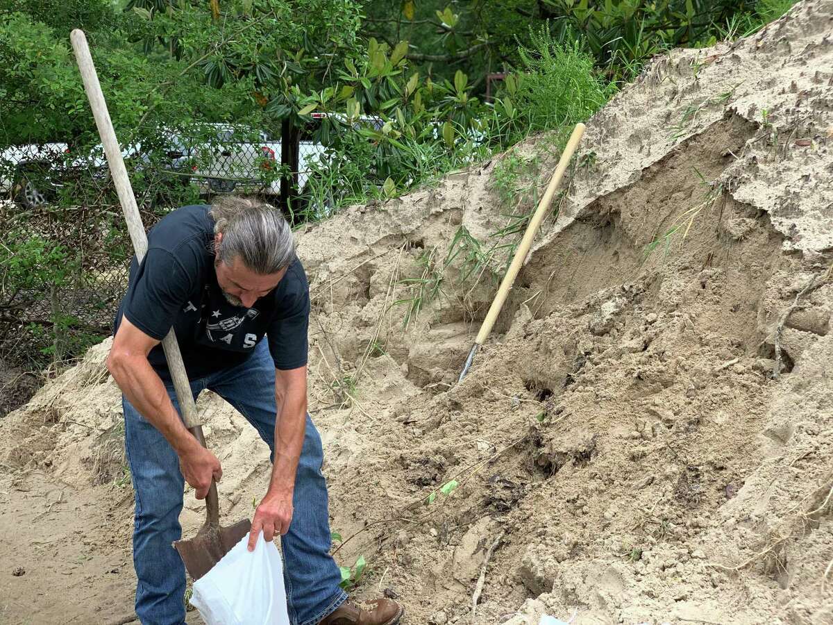
While 1 to 3 inches of rain was expected, with the potential for up to 10 inches in some areas, the rain bands were what forecasters were concerned about Friday heading into Saturday morning.
“A low-level circulation has now formed. It will make landfall tonight along upper Texas or Southwest Louisiana coast,” NWS Meteorologist Roger Erickson said in an email on Friday. “The main impacts for our region continues to be the heavy rain and flash flooding, as well as minor coastal flooding during high tides.”
McDaniel issued a disaster declaration early on Friday after the National Hurricane Center upgrading the potential threat of a tropical disturbance’s development to 40% from 20%.
“With the ground already completely saturated, rivers, creeks and tributaries all at or above flood stage, and additional rainfall associated with a tropical system in the Gulf of Mexico expected in Southeast Texas this evening through Saturday, I find it necessary to issue this declaration of disaster for Hardin County,” McDaniel wrote in an email. “(I) anticipate that I will also be sending out a notice to citizens in low lying areas to voluntarily evacuate themselves and their pets from those areas later today.”
As a result of the tropical development, a flash flood watch is in effect through 7 a.m. on Saturday for Jefferson, Orange, Jasper, Hardin and Newton counties. A coastal flood advisory is in effect for Jefferson and Orange counties.
A flood warning is in effect into Saturday morning for the following rivers in Southeast Texas: Sabine River near Orange, Sabine River near Bon Wier, Sabine River near Deweyville, Neches River near Beaumont, Neches River near Town Bluff, Neches River at Neches River Saltwater Barrier, Neches River near Evadale and Pine Island Bayou near Sour Lake.
jorge.ramos@beaumontenterprise.com
twitter.com/byjorgeramos