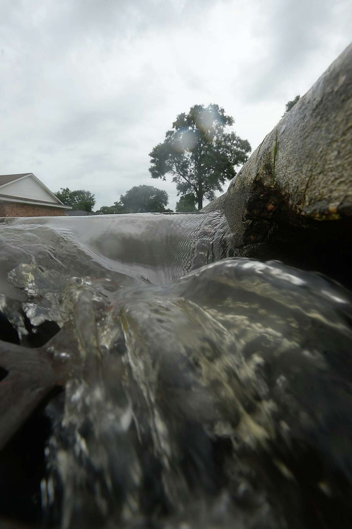
Water pours into a storm drain on 31st Street in Nederland as spotty bursts of rain move through the area Saturday, briefly accumulating on streets near Nederland Avenue, which is prone to flooding in heavy rainfalls. Heavier rains and wind from the outer bands of Hurricane Harvey, which was downgraded to a tropical storm, are expected to impact the Southeast Texas region within the coming days, increasing the risk for severe flooding. Photo taken Saturday, August 26, 2017 Kim Brent/The Enterprise
Kim Brent / Beaumont EnterpriseTuesday night’s severe weather affected much of Southeast Texas as the system reportedly knocked down branches in Hamshire-Fannett among other places and knocked out power in parts of Hardin County, causing the cancellation of classes at Lumberton High School on Wednesday.
While the moisture dissipated by early afternoon Wednesday and forecasts show the region is expected to see mostly sunny conditions for the next couple of days, it’s not expected to last long as thunderstorms are expected beginning Saturday night and potentially into next week.
“The depth/magnitude of the moistening trend will increase (Saturday) night into Sunday as the mid-level ridge pushes off to the east and a trough develops over Eastern Texas,” a National Weather Service forecast discussion stated Wednesday afternoon. “Increasing clouds and rain chances are expected across East Texas.”
Alex Donato, a NWS meteorologist, added these sorts of intermittent periods of severe weather are “normal for this time of year.”
“Severe weather season in Southeast Texas and Southwest Louisiana typically ends at the end of May,” Donato said. “We’re in the middle of it right now.”
Sunday could see a 40% chance of showers and thunderstorms with winds ranging from 10 to 15 mph winds and gusts up 20 mph.
Monday, the NWS predicts a 50% chance of showers and thunderstorms for most of the day. The next two days show a 30% chance of showers or thunderstorms.
Five-day forecast
Thursday: High 79, Low 58
Friday: High 81, Low 64
Saturday: High 83, Low 69
Sunday: High 81, Low 70
Monday: High 83, Low 72
Source: NWS Lake Charles
Donato said next week’s forecast has some degree of uncertainty. He said he expects NWS to have a clearer picture by the weekend as to how much precipitation is expected for next week.
Before Saturday’s potential chance for thunderstorms, Thursday, Friday and Saturday afternoon will see highs of 79, 81 and 83, respectively.
Severe weather canceled classes on Wednesday
Severe weather overnight Tuesday caused the cancellation of classes at Lumberton High School on Wednesday, according to a Lumberton ISD news release on Facebook.
“Due to the lightning storm last night, Lumberton High School is experiencing power outages in parts of the campus. This will necessitate closing Lumberton High School for May, 12, 2021,” the news release stated.
By Wednesday around noon, there were no outages reported in Hardin County, according to the Entergy outage map.
jorge.ramos@beaumontenterprise.com
twitter.com/byjorgeramos