
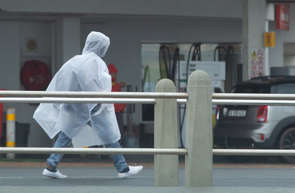
Heavy rain is expected across several districts of the Western
Cape on Wednesday evening as the rest of the country enjoys fine and warm
weather, according to the South African Weather Service.
Impact-based warnings
1. Orange Level 6 warning for rain resulting in danger to life due to fast-flowing streams closer to mountains and disruption of essential services is expected over the Overberg District of the Western Cape on Wednesday evening into Thursday.
2. Yellow Level 4 warning for rain resulting in flooding and infrastructure damage is expected over the City of Cape Town as well as the Cape Winelands and Garden Route districts of the Western Cape on Wednesday evening into Thursday.
3. Yellow Level 4 warning for wind resulting in damage to settlements and disruption of ports between Cape Columbine and Stilbaai as well as the City of Cape Town and Overberg coastal areas of the Western Cape on Wednesday afternoon into Thursday.
4. Yellow Level 1 warning for waves resulting in difficulty in navigation at sea and small vessels at risk of capsizing between Cape Columbine and Stilbaai from Wednesday into Thursday.
The weather in your province
Gauteng will be fine and cool.
The expected UVB sunburn index is high.
It will be fine and cool to warm in Mpumalanga.
Limpopo will be fine and warm.
The North West will be fine and cool to warm.
It will be fine and cool in the Free State.
The Northern Cape can expect morning fog along the coast, otherwise partly cloudy and cool to warm with isolated showers and thundershowers over the central and eastern parts but scattered in the south-east.
The wind along the coast will be light to moderate northerly to north-westerly, reaching fresh at times in the afternoon north of Hondeklip Bay.
There will be morning fog along the west coast and adjacent interior in the Western Cape, otherwise cloudy to partly cloudy and cool to warm with scattered to widespread showers and thundershowers over the south-western parts by mid-morning, spreading over the central and eastern parts by the afternoon.
The wind along the coast will be light to moderate northerly to north-easterly north of Saldanha Bay, otherwise moderate to fresh south-easterly, reaching strong to gale between Table Bay and Cape Agulhas by late morning, spreading to Stilbaai and Cape Columbine by the afternoon.
The expected UVB sunburn index is moderate.
The western half of the Eastern Cape will be partly cloudy and cool with isolated showers and thundershowers but scattered in the west.
The wind along the coast will be light to moderate south-easterly but fresh in the afternoon along the Tsitsikamma coast.
The eastern half of the Eastern Cape will be partly cloudy and cool, but warm east of the Kei River. Isolated showers and thundershowers are expected in the west.
The wind along the coast will be light to moderate south-easterly.
KwaZulu-Natal can expect morning fog over the interior, otherwise fine and warm, but cool in the south-west. It will become partly cloudy in the evening.
The wind along the coast will be gentle north-westerly north of Mtunzini in the morning, otherwise moderate easterly to north-easterly.
The expected UVB sunburn index is high.
