
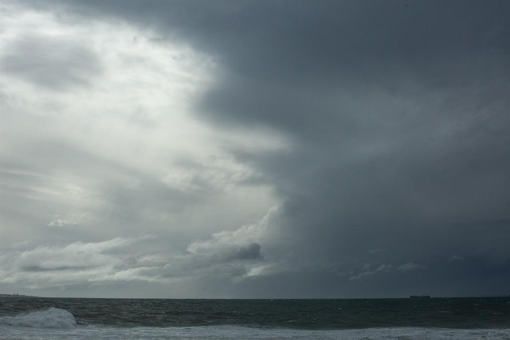
Heavy rain is expected in the Northern Cape, Gauteng and the Free State on Wednesday. The rest of the country will be cool to warm, with isolated thundershowers, according to the South African Weather Service.
Impact-based warning
Yellow level 2 warning: disruptive rain is expected over the north-eastern parts of the Northern Cape, the north-western parts of the Free State, western and southern parts of the North West and the southern and central parts of Gauteng, which may result in localised flooding of susceptible roads, low-lying areas and bridges, and difficult driving conditions.
The weather in your province
Gauteng will be cloudy and cool, with scattered showers and thundershowers.
The expected UVB sunburn index is low.
In Mpumalanga, it will be cloudy at first, with morning drizzle and fog patches along the escarpment areas, otherwise partly cloudy and cool, with isolated afternoon showers and thundershowers.
It will be warm in the lowveld.
Limpopo will be cloudy, with morning drizzle and fog patches along the escarpment, becoming partly cloudy and cool to warm, with isolated afternoon showers and thundershowers in the extreme south.
Conditions in the North West will be cloudy and cool, with widespread showers and thundershowers, but scattered in the north-east.
The Free State will be cloudy and cool, with scattered showers and thundershowers, but widespread in the north-west.
There will be morning fog along the coast in the Northern Cape, otherwise partly cloudy and warm to hot, with isolated showers and thundershowers.
It will be cloudy and cool in the north-east, with scattered showers and thundershowers.
The wind along the coast will be light north-westerly, becoming south-westerly in the afternoon.
There will be morning fog along the west coast in the Western Cape, otherwise fine to partly cloudy and warm to hot, but cloudy along the south coast at first.
It will become cloudy over the interior, with isolated thundershowers from the afternoon.
Wind along the coast will be moderate to fresh easterly, but light north-westerly along the west coast, becoming moderate south-westerly by afternoon.
The expected UVB sunburn index is very high.
The western half of the Eastern Cape will be cool in places along the coast, otherwise partly cloudy and warm, with isolated showers and thundershowers in the northern interior from the afternoon.
The wind along the coast will be moderate to fresh easterly, but strong in places from the afternoon.
In the eastern half of the Eastern Cape, it will be cloudy, with morning mist south of the escarpment, otherwise partly cloudy and cool, but warm in places.
Isolated showers and thundershowers are expected in the northern interior from the afternoon.
The wind along the coast will be moderate to fresh north-easterly, becoming strong in places in the west from the afternoon.
KwaZulu-Natal can expect morning fog over the interior, otherwise partly cloudy and cool, but warm in the north-east.
Isolated afternoon showers and thundershowers are expected in the west.
The wind along the coast will be light westerly to north-westerly at first, otherwise easterly to north-easterly, becoming southerly to south-easterly along the north coast.
The expected UVB sunburn index is moderate.
