


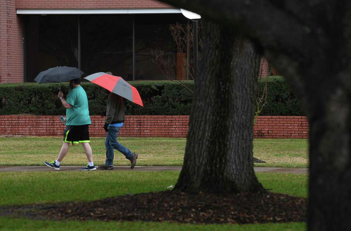


As the weekend approaches and temperatures continue to plummet in Southeast Texas, the first round of predicted winter precipitation expected to affect the region will be rain, according to the National Weather Service’s Friday weather report.
Forecasters continue to reiterate the more significant winter weather will most likely come Monday.
“This will be a mixed bag of rain, sleet and freezing rain,” said meteorologist Roger Erickson in a written statement Friday morning. “It is too early to say with any certainty how much ice we will see or exactly who will see it.”
But Erickson did warn, despite the uncertain forecast involving winter precipitation, to expect some elevated roads and bridges to become icy over the weekend into next week.
For the region’s population experiencing homelessness, the Salvation Army in Beaumont is looking to keep its shelter open 24 hours beginning Sunday. The emergency shelter location is located at 2350 Interstate 10 in Beaumont, and will provide a place to sleep along with other services for those experiencing homelessness during the freezing weather.
In Orange County, the Office of Emergency Management announced it will be partnering with the Salvation Army to provide a warming station Saturday until Monday. The warming station is located at 1950 MLK Drive in Orange, but will only be used as a short-term emergency shelter operates from 6 p.m and 7 a.m. over the next several days.
Freezing rain accumulation is most likely for Sunday night through Monday which could result in power outages slick roads and snapped branches. A 20% to 40% chance of rain is expected for both Saturday and Sunday. As of Friday’s forecast, there is an 60% chance of freezing rain on Monday, but there is some uncertainty for Monday’s prediction.
“My advice is to prepare for power outages,” NWS meteorologist Donald Jones said in his Friday afternoon briefing. “If we do see significant (ice) accumulation on Monday, it’s probably going to linger Monday night into Tuesday because we aren’t going to get above freezing until midday on Tuesday.”
Jones added if there is a possibility of a winter weather advisory it will come at sometime on Saturday.
Jasper County and the City of Jasper have been in preparation for the past several days as information on the forecast firmed up what is likely to be one of the coldest and most dangerous winter weather events to hit the area in recent history.
“We will maintain patrols with all hands on deck to keep the public safe and property protected,” said Chief Deputy Scott Duncan of the Jasper County Sheriff’s office.
Duncan said they were coordinating with the Department of Public Safety, and asked residents to stay home if possible. He also warned about the hidden dangers of carbon monoxide and fire hazards from the use of generators and space heaters.
Temperatures throughout the weekend are forecasted to be the mid 40s but are expected to drop near or below freezing over night. The coldest day will be Monday, when the high will be 35 degrees and the low is predicted to be 20 degrees or lower in northern parts of Southeast Texas.
Hard freezes are expected for Sunday morning, Monday morning and Tuesday morning, Jones said.
“Protect the four Ps — pets, pipes, plants and people,” he added. “The only pipes you really need to protect are the ones that are exposed. You can wrap the (pipes) in…anything that will keep them insulated from the outside air. With the hard freeze you want to trickle water all through the night.”
In addition to the cold temperatures, a significant wind chill will contribute to the how cold the temperatures will feel throughout the region. A 10-15 mph wind is expected to continue for the next several days.
“It’s going to feel colder than it will actually be,” Jones said. “Expect it to feel like freezing conditions all the way down to Interstate 10.”
Jones added a wind chill advisory maybe be put into effect Monday along with the potential for winter weather. A wind chill advisory is when the wind chill values drop below 13 degrees.
jorge.ramos@beaumontenterprise.com
twitter.com/byjorgeramos


