


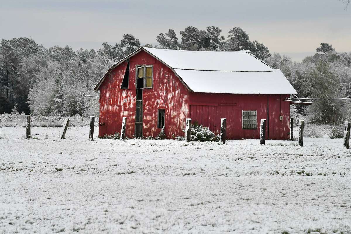
A barn covered in snow in Beaumont after a snowstorm in 2017.
Guiseppe Barranco / Guiseppe Barranco/While large swaths of Texas saw snow in one of the first winter storms of the year, Southeast Texas did not receive any significant amounts over the weekend, despite a small chance in the forecast.
Instead, the wintery storm produced sleet and cold rain, with some dusting for a short amount of time in Jasper.
“For our area we haven’t seen much,” Todd Mogged, an Observation Program Leader for the National Weather Service office in Lake Charles told The Enterprise. “There was mainly sleet, and a few flurries here and there — but the snow was mainly when you get further North and West.”
Photos: The January 1997 Ice Storm in Beaumont
The service is still gathering more information, but warm ground temperatures make it difficult to measure any small amounts of snowfall.
“In all of our county warning areas it was half inch to an inch,” Mogged said. “And the thing is, your ground temps are still running 45, 50 (degrees), so for the most part, the snow melted on contact.”
Looking forward, skies will remain cloudy with cold temperatures Monday, with clear skies Monday night and no chances of precipitation for the rest of the week. But this isn’t the last Southeast Texas has seen of the cold weather.
“Snow is quite possible, because we are going to see a real slow warming trend,” Mogged said.
In the near future, the cold will remain dry.
“You’ll still be looking at, for example, Friday night and Saturday morning with lows in the upper 30s,” Mogged said. “But it is really hard to say at least in the next seven days we are not expecting snow or anything like that.”
isaac.windes@hearstnp.com
twitter.com/isaacdwindes


