The weather will, for the most part, be warm to hot on Tuesday, but the South African Weather Service has issued a warning for thundershowers.
Impact based warnings
A yellow warning (L2) for severe thunderstorms over the eastern Free State, central and eastern highveld of Mpumalanga, western parts of KwaZulu-Natal and the eastern parts of the Eastern Cape, including the possibility of localised damage to infrastructure due to hail and damaging winds, with flooding of roads and low-lying bridges.
Fire danger warning
Extremely high fire danger conditions are expected over the Central Karoo and Kannaland of the Western Cape and the interior of the Northern Cape.
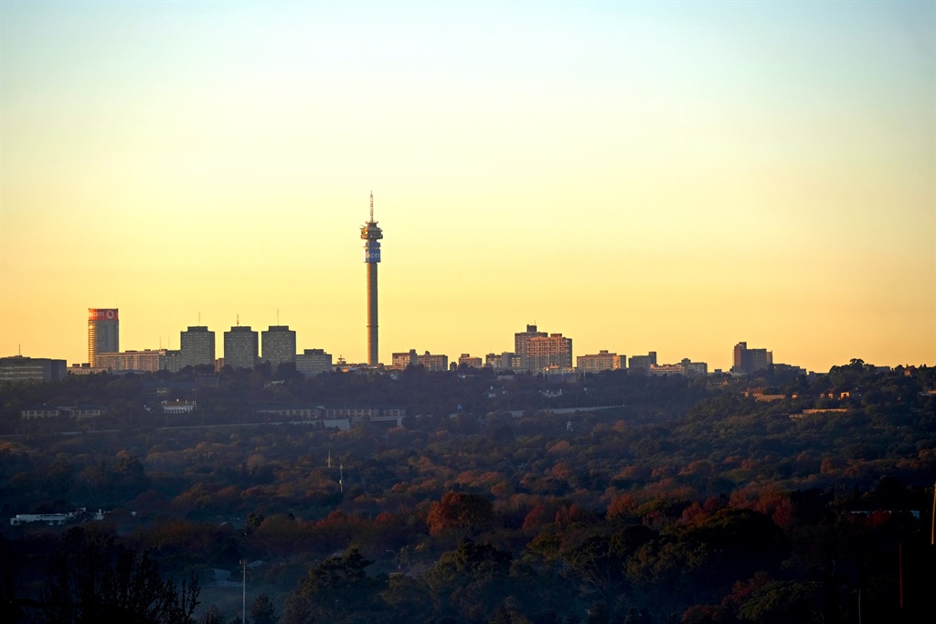
The weather in your province
Gauteng will be partly cloudy and warm, with isolated evening thundershowers.
The expected UVB sunburn index is very high.
Mpumalanga will be cloudy in the east, with fog along the escarpment at first, otherwise partly cloudy and warm, with isolated showers and thundershowers, except in the lowveld, but scattered on the highveld.
In Limpopo, it will be cloudy in the east at first, with early morning fog along the escarpment, otherwise fine and warm to hot, becoming partly cloudy, with isolated showers and thundershowers in the south.
In the North West, conditions will be partly cloudy and hot, with isolated afternoon thundershowers.
The Free State will be partly cloudy and hot, with isolated afternoon thundershowers, but scattered in the east, where it will be warm.
In the Northern Cape, it will be cloudy along the coast in the morning and in the evening, where it will be cool, otherwise fine and warm to hot, but partly cloudy in the east, with isolated thundershowers in the extreme east and north-east.
It will be very hot in the northern and central parts.
The wind along the coast will be light northerly, becoming light to moderate westerly to south-westerly from the early afternoon.
The Western Cape will be cloudy, with morning fog along the coast, otherwise fine and cool to warm, but hot over the interior.
The wind along the coast will be light to moderate northerly to north-easterly in the morning, becoming north-westerly, but westerly to south-westerly along the south coast from the afternoon.
The expected UVB sunburn index is very high.
In the western half of the Eastern Cape, it will be partly cloudy and warm, but hot over the interior.
The wind along the coast will be moderate south-westerly.
The eastern half of the Eastern Cape will be partly cloudy and warm, but hot over the interior.
Isolated afternoon thundershowers are expected, but scattered in the east.
The wind along the coast will be moderate to fresh north-easterly.
KwaZulu-Natal will be cloudy, with morning fog over the interior, otherwise partly cloudy and warm, but hot in places in the north. Isolated thundershowers are expected, but scattered in the west.
The wind along the coast will be moderate to fresh northerly to north-easterly.
The expected UVB sunburn index is high.

Click here to see the specific forecast for your city over the next few days.