The weather on Saturday will be mostly cold across the country, according to the South African Weather Service. Several warnings and watches for inclement weather have been issued.
Warnings
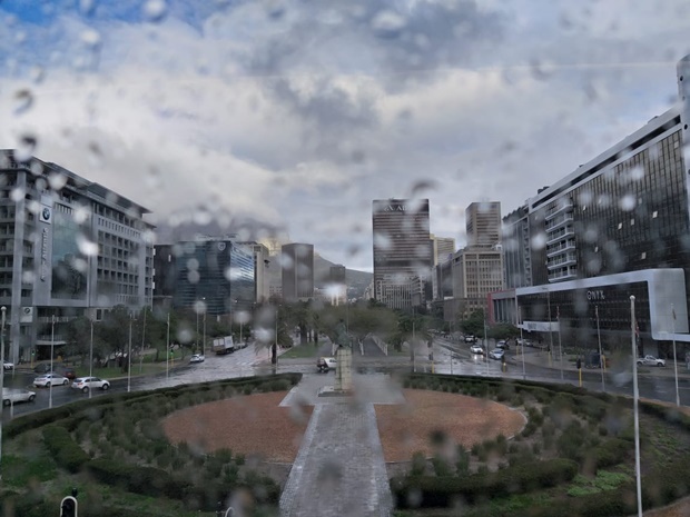
- Heavy rain leading to localised flooding is expected over the south-western areas of the Western Cape until Saturday afternoon.
- Extremely high fire danger conditions expected in places over Limpopo, Mpumalanga, and the north-eastern parts of the Free State.
- Disruptive snowfalls are expected in places over the high-lying areas of the Western Cape and Eastern Cape as well as the extreme southern parts of the Northern Cape.
Watches
- A gale force (62-70km/h) westerly wind is expected between Stillbaai and Plettenberg Bay.
Special weather advisories
- Very cold conditions are expected over southern parts of the Northern Cape and south-western interior of the Western Cape as well as in places over the Eastern Cape.
The weather in your province:
Gauteng will be partly cloudy and cool.
The expected UVB sunburn index is high.
Mpumalanga will be very hot in the Lowveld, otherwise partly cloudy and warm to hot with isolated showers and thundershowers on the southern and eastern parts.
In Limpopo, it will be very hot in the Lowveld, otherwise partly cloudy and warm to hot.
The North West will be partly cloudy and cool, but warm in the north-east.
The Free State will be fine and cold to cool, but partly cloudy in the east.
In the Northern Cape, conditions will be partly cloudy and cold, with isolated showers in places in the south and west, but very cold in the extreme south.
The wind along the coast will be moderate to fresh southerly to south-westerly.
The Western Cape will be cloudy and cold, with scattered to widespread showers and rain, but isolated showers and rain in the north east. It will become partly cloudy in the west towards the evening.
The wind along the coast will be fresh to strong westerly to north-westerly, becoming moderate to fresh southerly to south-westerly, but strong to gale force east of Stillbaai from late morning into the evening.
The expected UVB sunburn index is low.
Conditions in the western half of the Eastern Cape will be cloudy and cold with scattered showers and rain along the south coast and adjacent interior, but isolated over the interior in the evening.
Light snowfalls are possible over high-lying areas through the evening.
The wind along the coast will be fresh to strong westerly, reaching gale force in the afternoon.
The eastern half of the Eastern Cape will be fine to partly cloudy and cool, but cold in the north, becoming cloudy south of the escarpment in the late afternoon with light rain along the wild coast and adjacent interior in the evening.
The wind along the coast will be moderate to fresh south-westerly, becoming strong west of Kei Mouth in the afternoon.
KwaZulu-Natal will be partly cloudy and cool but warm in the north. It will become cloudy with isolated afternoon thundershowers except in the extreme west.
The wind along the coast will be moderate south to south-westerly.
The expected UVB sunburn index is low.

- Compiled by Kamva Somdyala
Click here to see the specific forecast for your city over the next few days.