
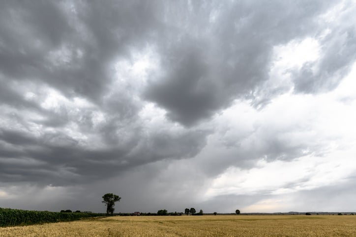
A cold front is expected to affect the Western and Northern Cape from
late Friday evening to Sunday, according to the South African
Weather Service.
Special weather advisories
- A well-developed cold front is expected to affect the Western and Northern Cape from late Friday evening to Sunday. The public and/or small stock farmers are advised that snow, extremely cold conditions, gale force winds and rough seas and significant rainfall can be expected.
The weather in your province:
Gauteng will be fine and cool.
The expected UVB sunburn index is high.
Mpumalanga will be cloudy with showers in the morning, otherwise fine and cool.
Limpopo can expect morning fog patches, otherwise fine and cool.
The North West will be fine and cool to warm.
The Free State will be cloudy with fog patches in the morning, otherwise fine and cool.
In the Northern Cape, there will be morning frost over the southern high ground, otherwise fine and cool to warm.
It will become cloudy along the coast with fog by the evening.
The wind along the coast will be fresh to strong southerly to south-easterly, becoming light by the evening.
The Western Cape will be fine and cool to warm. It will become cloudy and cold with light drizzle in the south-west in the evening.
The wind along the coast will be fresh to strong westerly to north-westerly, but moderate southerly to south-easterly north of Cape Columbine.
The expected UVB sunburn index is low.
The western half of the Eastern Cape will be fine and cool.
The wind along the coast will be light westerly to north-westerly, but light south-easterly around midday.
In the eastern half of the Eastern Cape, it will be fine and cool
The wind along the coast will be light north-westerly, but light south-easterly in the afternoon.
KwaZulu-Natal will be partly cloudy with morning fog in places over the interior, otherwise fine and warm, but cool in the south.
The wind along the coast will be gentle westerly to north-westerly at first, otherwise moderate to fresh north-easterly.
The expected UVB sunburn index is moderate.

- Compiled by Kamva Somdyala
Click here to see the specific forecast for your city over the next few days.