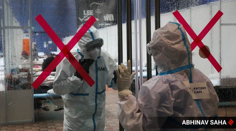
 Coronavirus India LIVE Updates: COVID care center at CWG Village maintained by an NGO and Delhi Government, a facility of 500 bed got 9 patients as of now, New Delhi, on Friday, July 10, 2020. Express photo by Abhinav Saha
Geospatial Delhi Limited (GSDL), a public sector undertaking under the Delhi government, has been tasked with mapping areas where isolated Covid cases have been found frequently over the last one month but which fall outside the ambit of containment zones. The decision has been taken under the revised Delhi Covid response plan that lays emphasis on the need to chalk out effective surveillance measures for such areas.
The plan had stated that a “significant number of cases” are being reported as isolated cases from across the 11 revenue districts of the city. According to the plan issued on July 8, “this is a matter of concern and needs to be addressed”.
Accordingly, GSDL, which has a large repository of Covid data down to the ward level, has been roped in to identify such areas, a senior official said. “For now, GSDL will help us identify such neighbourhoods. Later, based on requirements, such areas could also be converted into containment zones,” the official added.
There are 652 containment zones in Delhi currently. Areas with three cases or more are declared containment zones and sealed. According to the revised plan, areas with isolated cases are those “regularly reporting isolated cases for 28 days and other areas (having infrequent isolated cases), for which standard operating procedure (SOP) needs to be devised for effective surveillance”.
The district surveillance units of the government will take a final call on the demarcation of areas with isolated cases based not just on GSDL mapping, but also daily cluster reports prepared by the Union Ministry of Health and Family Welfare.
At those areas, says the plan, contact tracing will be enhanced within three days and a house-to-house survey will be undertaken for identifying ILI and SARI cases among other measures.