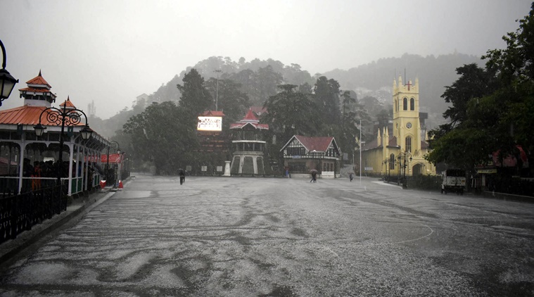
 Heavy hailstorm at the Ridge in Shimla on Wednesday. (Express Photo by Pradeep Kumar)
Day temperatures in parts of Himachal Pradesh dipped by as much as 10 to 15 degrees below normal during the past few days following rain and thundershowers, even as a fresh spell of precipitation began on Wednesday and is likely to continue till Sunday, meteorological officials said.
On Wednesday afternoon, hailstorms and thundershowers lashed Shimla and several other parts of the state, bringing the mercury down five to six degrees below normal, including places such as Chamba and Dalhousie where maximum temperatures fell 10 and 8 degrees below normal respectively.
The meteorological centre at Shimla has issued an orange weather warning in the low and middle hills for Friday and Saturday, when the wet spell will reach its peak. The centre has also forecast thundershowers with lightning, hailstorm and gusty winds (wind speed 40 to 50 kmph) at isolated places on Friday and Saturday. The state has been intermittently receiving precipitation since May 26, including a major spell from May 29 to 31.
According to the data maintained by the meteorological centre, rainfall in Himachal in the last one week has been 148 per cent above normal while in the month of May, it was a whopping 923 per cent above normal. According to an analysis by the centre for the pre-monsoon or summer season, that is March to May, the precipitation in the state was 19 per cent above normal following three years of below-normal precipitation during the season.
“This is unusual weather for this time of the year. The sharp decline in temperature has forced people to resort to warmer clothes,” remarked Hemant Kumar, a Shimla resident.
On Monday, Chamba recorded a maximum temperature of 24.3 °C, a departure of minus 15 degrees from the normal. Similarly, the maximum temperature in Dalhousie was 14.5 °C, 11 degrees below normal and the maximum temperature in Kangra was 12 degrees below normal. According to meteorological officials, on average, maximum temperatures across the state were 10 to 11 degrees below normal on Monday. Even minimum temperatures have been three to four degrees below normal over the last few days.
The wet spells in the state are being caused by western disturbances – eastward-moving winds originating over the Mediterranean Sea and Caspian sea, which blow in low atmospheric levels over Iran, Afghanistan and Pakistan before entering north India and causing snow and rain here. According to Dr Kuldeep Srivastava, head, Regional Weather Forecasting Centre, New Delhi, the influence of these disturbances can be felt in Himachal Pradesh up to May and even June, before the onset of the monsoon. “From June to September, the influence of these moisture-laden winds remains confined to the higher reaches of Himachal and J&K,” he said.
Srivastava said that the frequency of western disturbances this year has been higher as compared to previous years.