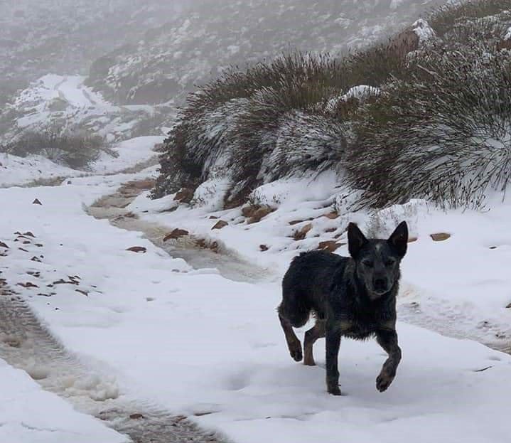
Bitterly cold temperatures and snowfall have hit certain parts of the country on Tuesday as a cold front moves in.
The South African Weather Service (SAWS) last week issued a special advisory for the cold front and snow, expected to hit the Northern and Western Cape provinces.
In the statement by the meteorological service, "the mountains of the Western Cape and the extreme south-western areas of the Northern Cape are about to experience the first snow of 2020".
The cold front started setting in on Sunday.
On Tuesday, using their official Twitter account, the weather service shared some photos which had been uploaded by members of the public who had captured, in particular, the snowfall.
The service had earlier warned: "Communities living in the extreme south-western areas of the Western Cape should also brace themselves for a combination of cold, strong gusty winds as well as moderate rainfall."
On Tuesday, snowfall was expected to spread to the central and northern interior of the Eastern Cape, while "bitterly cold daytime temperatures" set over the interior, including the Cape provinces, Free State and southern KwaZulu-Natal.
Gauteng also braced for a cold front on Tuesday.
According to the SAWS, "temperatures are expected to recover gradually over the Cape provinces from Wednesday onwards, although widespread morning frost could also be expected over the interior areas".
- Compiled by Kamva Somdyala
