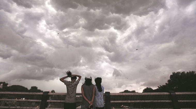
 Dark clouds over Pune on Wednesday. (Express photo: Pavan Khengre)
Coming as a respite after a period of severe hot weather, Pune and its surrounding regions are likely to experience cloudy skies and scanty rain in the next few days. This is mainly a fallout of the severe cyclonic storm Vayu at present hovering near the Mumbai coast. Dr A Kashyapi, head, weather monitoring and air pollution, India Meteorological Department (IMD) said heavy cloud cover will be reported in next 48 hours in Pune.
Follow Cyclone Vayu LIVE UPDATES here
The severe cyclonic storm Vayu is at present active around 260 km off the Mumbai coastline. The storm is expected to move north, making landfall on the Gujarat coast between Porbandar and Mahuva on Thursday afternoon. Goa, Konkan and other coastal areas have been witnessing heavy rainfall for the last 24 hours and the rain is expected to continue for the next 48 hours or so. “The rain will help in recharging the groundwater table in these areas,” he said.
However, the cyclone has halted the progress of the monsoon, which hit the Kerala coast last week. The northern limit of the monsoon continues to remain over Madurai and Kannur and Aizwal in Mizoram. “Only after the mid week of June will the monsoon pick up speed, but the progress will be slow,” he said. While the rain is likely to continue in coastal areas, the parched regions of Marathwada and Vidarbha will have to wait longer for the pre-monsoon showers.
The cyclone will be detrimental to the Southern Peninsula, which is likely to witness the return of heat waves. Similarly, Vidarbha and Marathwada will also see the return of severe heat waves, although there is some prediction of scattered rain in the regions. “The monsoon has started on a weak system, so its progress will be delayed,” Kashyapi said.
Meanwhile, the delay in the monsoon will further push the start of the sowing activity. Farmers of moong and urad in Maharashtra and Karnataka are likely to forego their crops in favour of long-duration crops like cotton and soyabean in the days to come.
