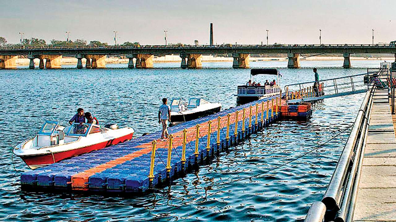
Sabarmati river's east bank cooler than west
3-year study shows western part of A'bad cooler owing to more open spaces

riverfront The temperature is low within 200 metres of the river bank
The right bank of the Sabarmati River witnesses a greater drop in temperature than the left one during summer. This was revealed by a recently conducted study titled 'Ánalysis of cooling effect of water bodies on land surface temperature in the nearby region: A case study of Ahmedabad and Chandigarh cities in India'.
The study was undertaken by three scholars – Neha Gupta, Aneesh Mathew and Sumit Khandelwal, for three years from 2009 to 2011. They observed that there is an average dip of about 1.57 degree C and 1.71 degree C during summer and winter, respectively, on the right bank (eastern part of the city) of the Sabarmati River up to an influence distance of about 200-300 metres. The average drop in temperature on the left bank is about 0.69 degree C and 0.65 degree C during summer and winter, respectively.
The temperature fell by about 1.61 degree C from the bank up to 200 metres and 1.82 degree C from the bank up to 300 metres during winter, over the entire study duration. The temperature is low within 200 metres of the river bank and shows a sharp ascent there onwards. When moving towards the river, the drop in temperature starts from 500 metres to the bank and is significant within 100–300 metres of it. Hence, effective cooling is prominent within 300 metres, extending up to 500 metres from the bank approximately. Beyond this, no cooling is observed due to the river.
The rising temperature beyond the influenced distance on the eastern side of the city (right bank) may be due to the presence of the old walled city comprising a congested network of roads, commercial and residential areas. The highly dense built-up areas cause an increase in the imperviousness and alterations in the urban morphology, i.e., the structure and the pattern of roads and buildings obstruct the cool wind blowing from the river.
On the left bank, the temperature is influenced within a range of 100–400 metres. The average drop in temperature near the left bank is about 0.78 degree C (within 300 metres) and 0.59 degree C (within 200 metres) during the summer. The temperature fell about 0.55 degree C from the bank up to 200 metres and 0.75 degree C from the bank up to 300 metres during winter, across the duration of the entire study.
The undulation seen in the western part of the city while moving from the left bank may be because of the presence of open spaces in that part of the city in the form of parks, gardens and open grounds which compensate the rise in temperature.
According to the researchers, the typical behaviour of the sandy loam soil in Ahmedabad is that it quickly heats up during peak hours of the day and cools down rapidly during the latter part of the day. During summer, Urban Heat Island (UHI) pattern is not at all evident, while a low-intensity UHI pattern appears in winter during the day time. The weak UHI pattern may also be because of the Sabarmati River flowing through the city center. The water acts as a heat moderator because of the high latent heat of vaporisation and heat storage capacity as compared to land parts. The actual reason behind such behaviour is not clear yet, as it is influenced by a variety of factors, they observed.
Wind factor
- The study was undertaken by 3 scholars – Neha Gupta, Aneesh Mathew and Sumit Khandelwal, for three years from 2009 to 2011.
- The average drop in temperature on the left bank is about 0.69 degree C and 0.65 degree C during summer and winter, respectively.
- The rising temperature beyond the influenced distance on the eastern side of the city (right bank) may be due to the presence of the old walled city comprising of congested network of roads.
- The highly dense built-up areas and the pattern of roads and buildings obstruct the cool wind blowing from the river.