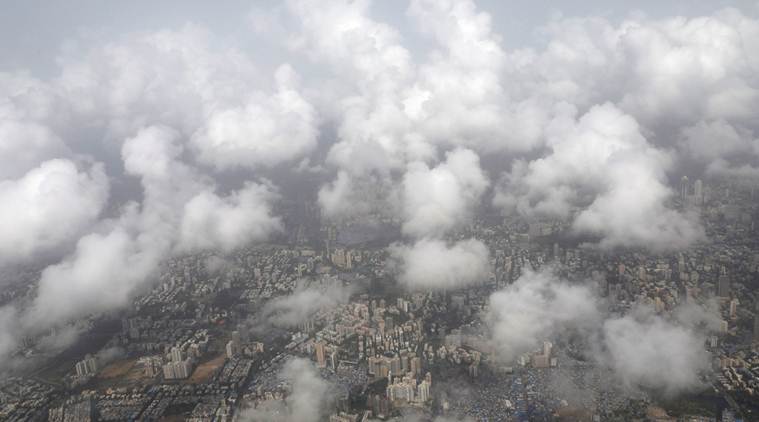
 An aerial view shows monsoon clouds over Mumbai. (REUTERS photo)
Explaining why the Southwest Monsoon could not advance further since last one week, the India Meteorological Department (IMD) in a statement on Wednesday said that it happened due to weak monsoon flow in associations with weak cross equatorial flow, unfavourable location of active phase of Madden Julian Oscillation (MJO), an equatorial eastwards propagating oscillations which lay over central and east pacific Ocean, Western hemisphere and Africa and the development of low pressure system over northwest pacific Ocean.
It, however, said the monsoon circulation is likely to improve from around June 24 with expected movement of active phase of MJO to west Equatorial Indian Ocean and adjoining Arabian Sea during the next 23 days and development of cyclonic circulations over eastern India leading to strengthening of easterlies winds over Gangetic plains. Click here to read this in Bangla
As a result, the Southwest Monsoon is likely to further advance over remaining parts of Assam, some more parts of Maharashtra, Chhattisgarh, Odisha, West Bengal and some parts of Jharkhand, Bihar and Madhya Pradesh between June 23-25, the IMD explained. Also, heat wave conditions are likely to prevail over parts of east India and Coastal Andhra Pradesh during the next 48 hours.
Meanwhile, the IMD has predicted heavy to very heavy rainfall over Konkan and Goa and heavy rains at isolated places over Kerala, coastal Karnataka, Madhya Maharashtra, Assam, Meghalaya and Andaman & Nicobar Islands, on Wednesday. The MeT department also said that thunderstorm with gusty winds and lightning is very likely at isolated places over east Bihar, West bengal, Sikkim, coastal Andhra Pradesh, Rayalseema, Terlangana, Tamil Nadu and Puducherry.
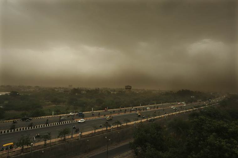 Weather LIVE updates: A dust storm accompanied by rains are seen over Lucknow's skyline, Monday. (AP Photo)
While Southwest monsoon has been active over Kerala and Coastal Karnataka, the arrival of monsoon in North India is slow. Met department predicted that Monsoon in Delhi and neighbouring states will be delayed by a week. Heat wave condition will be steady in Delhi.
And it drizzled in Delhi, bringing slight respite to Delhites in this scorching heat. But according to IMD officials 'There's no chance of revival of monsoon in next five to six days. Rainfall will be less than normal. We'll have to wait for a week for further advancement of monsoon. There has been thunderstorm activity in North-West India, it'll continue for 1-2 days.'
IMD gave four reasons why the Southwest Monsoon could not advance further since last one week. Here are they:
a. It happened due to weak monsoon flow in associations with weak cross equatorial flow,
b. unfavourable location of active phase of Madden Julian Oscillation (MJO)
c. an equatorial eastwards propagating oscillations which lay over central and east pacific Ocean, and,
d. Western hemisphere and Africa and the development of low pressure system over northwest pacific Ocean.
The MeT department also said that thunderstorm with gusty winds and lightning is very likely at isolated places over east Bihar, West bengal, Sikkim, coastal Andhra Pradesh, Rayalseema, Terlangana, Tamil Nadu and Puducherry.
IMD has predicted heavy to very heavy rainfall over Konkan and Goa and heavy rains at isolated places over Kerala, coastal Karnataka, Madhya Maharashtra, Assam, Meghalaya and Andaman & Nicobar Islands, on Wednesday.
Delhi people woke up to a warm morning on Wednesday with the minimum temperature settling two notches above the season's average at 29.8 degrees Celsius. The MeT department forecast mainly clear sky for the rest of the day with the maximum temperature expected to be 41 degrees Celsius.
Welcome to our Live blog. The IMD has predicted heavy to very heavy rainfall over Konkan and Goa and heavy rains at isolated places over Kerala, coastal Karnataka, Madhya Maharashtra, Assam, Meghalaya and Andaman & Nicobar Islands. Follow to get the latest updates