Ridgefield dam could undergo rehabilitation, even removal
Published 3:47 pm, Friday, April 20, 2018
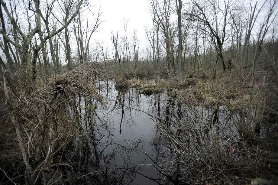
RIDGEFIELD — Residents were given a first glimpse last week at how the Great Swamp Dam, which impounds the Norwalk River near Route 35, might be rehabilitated — or even removed — in coming years to lessen the dangers that would follow from its collapse.
Engineers and representatives from state and federal agencies held an informational meeting Thursday about a rehabilitation plan they are developing for the structure, which was built in 1979 to provide flood protection to large parts of Ridgefield and Redding.
The agencies began developing the plan in 2015 after a 2011 assessment revealed that the 440-foot dam could “overtop” in extremely heavy rain.
Since it was built, the dam has been reclassified from a “significant hazard” to a “high hazard,” meaning that its failure would mean “probable” as opposed to “potential” loss of life, and create major damage as opposed to minor damage to surrounding residences, businesses or infrastructure.
Officials explained that the dam is in good physical condition, but that development around it, and the classification of Route 35 as a main highway, have called its capacity into question.
“If you do have a failure, it can be quite catastrophic,” said Wade Biddix, the team leader from GSFW Engineering JV. “With the roads and properties you have downstream here, it is pretty easy to see that. This water doesn’t just dissipate, it continues for miles downstream.”
So far, officials said, they have been assessing not only the dam itself but also the residences, infrastructure and wildlife in its surrounding watershed.
This data will then be used to analyze what affect any changes might have. The options include taking no action, removing the dam, making structural changes or taking measures to floodproof the area in other ways.
“You can’t really look where you’re going until you know where you are today,” engineer Paul Welle said.
Structural changes could include raising the elevation of the dam, increasing the spillway capacity or removing it entirely. But Biddix added that removal is likely not a viable option, given the need for flood protection.
The plan will be developed by USDA-Natural Resources Conservation Services, which was commissioned by the state Department of Energy and Environmental Protection, which owns the dam. GSFW Engineering was hired to assist NRCS, officials said.
NRCS Project Engineer Kristin Walker invited residents to send the agencies their questions or any information they might have about watershed conditions in the area. More informational meetings will be held when options or a drafted plan are created, she said.
Officials said they hope to finish analyzing the data by June, evaluate the alternatives by March 2019 and develop a draft plan by fall 2019.
“This is not a snap-your-fingers kind of thing,” Biddix said. “We are going to do it right and we’re going to do it thoroughly.”
aquinn@newstimes.com