
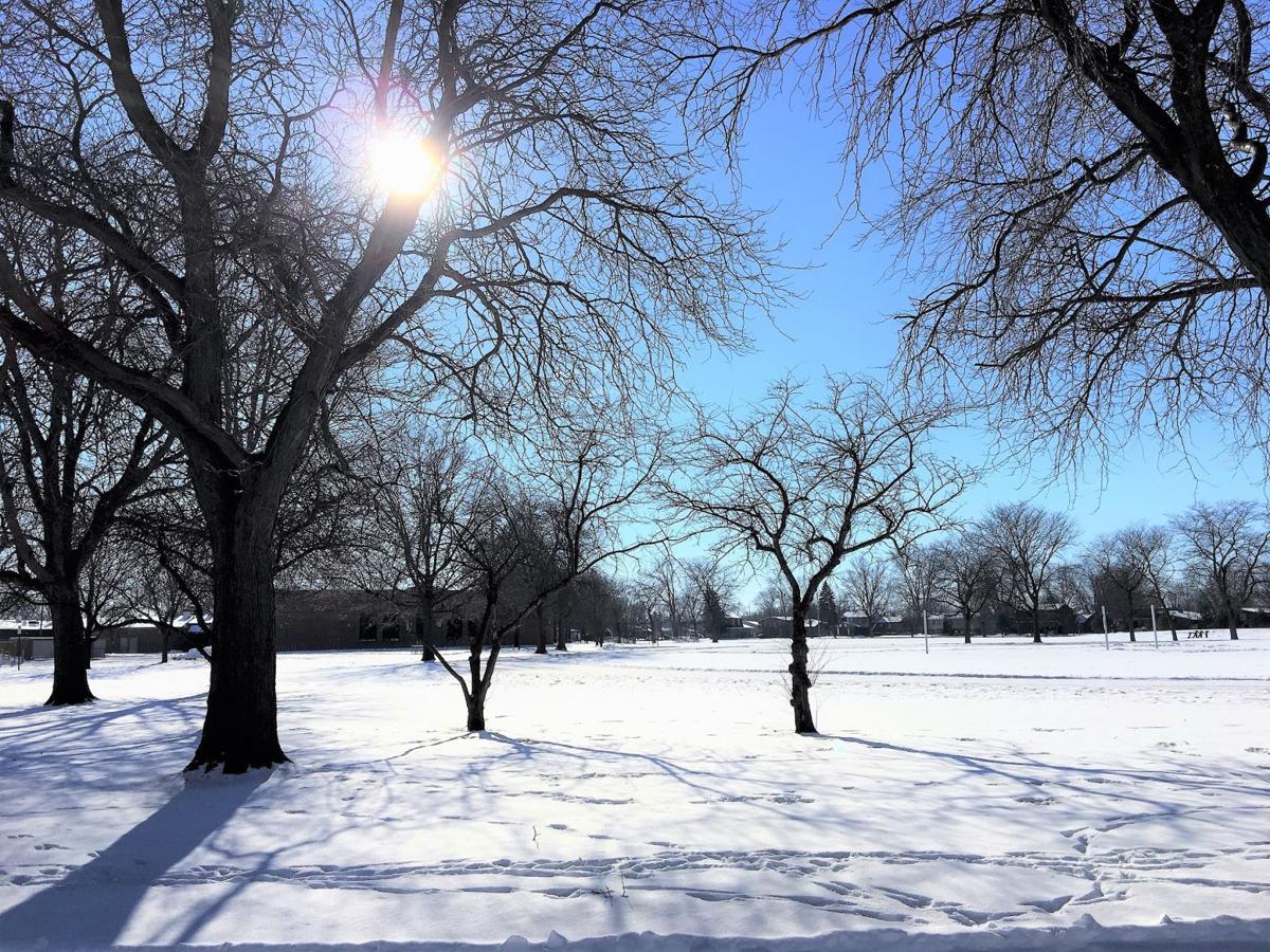
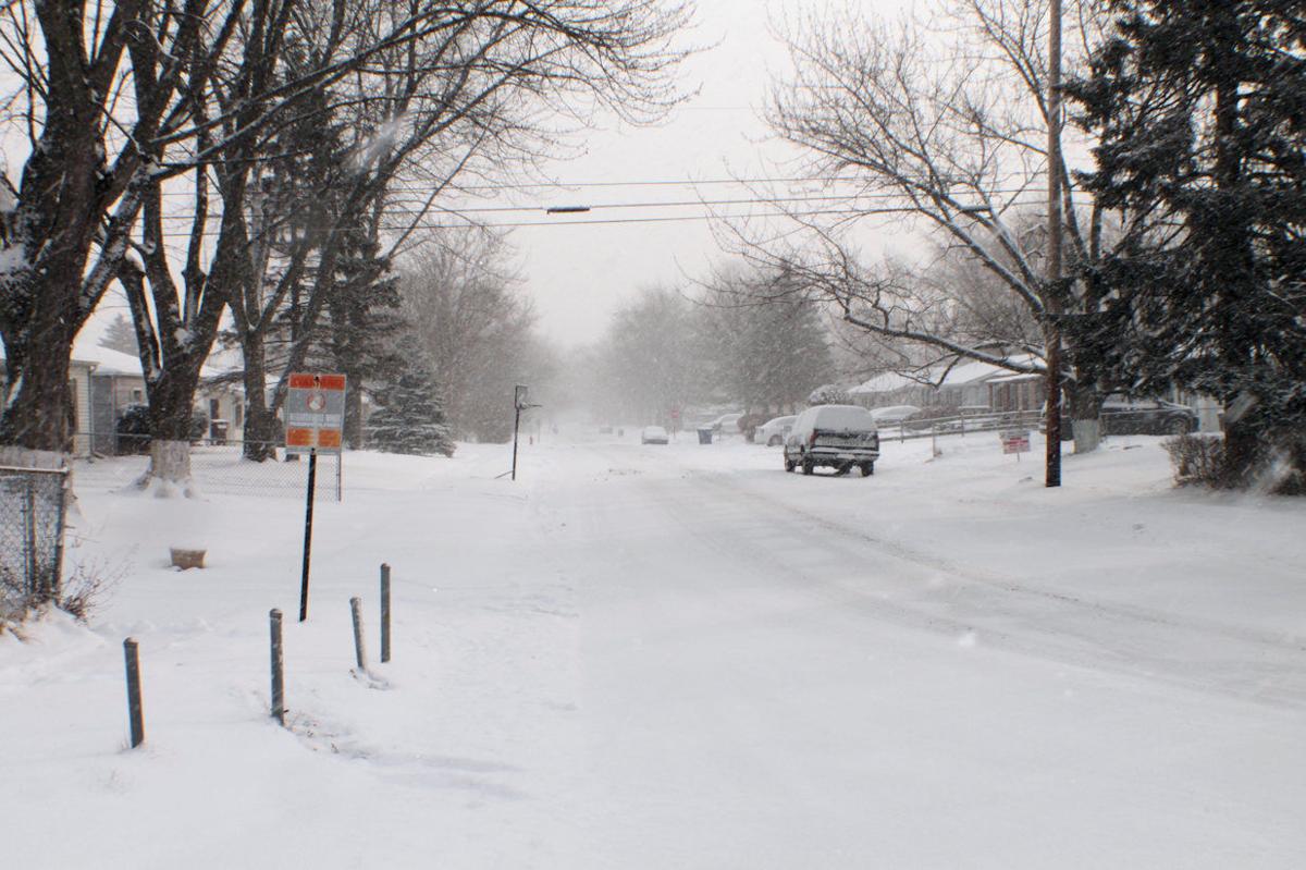
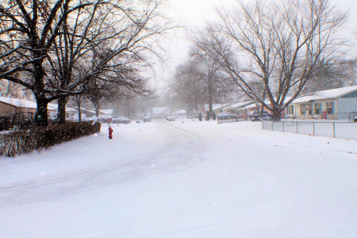
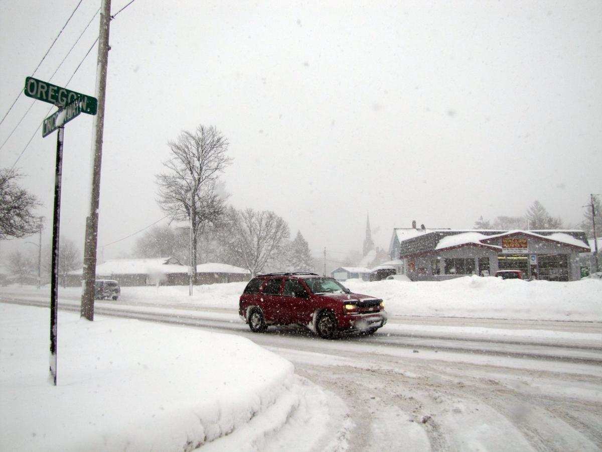
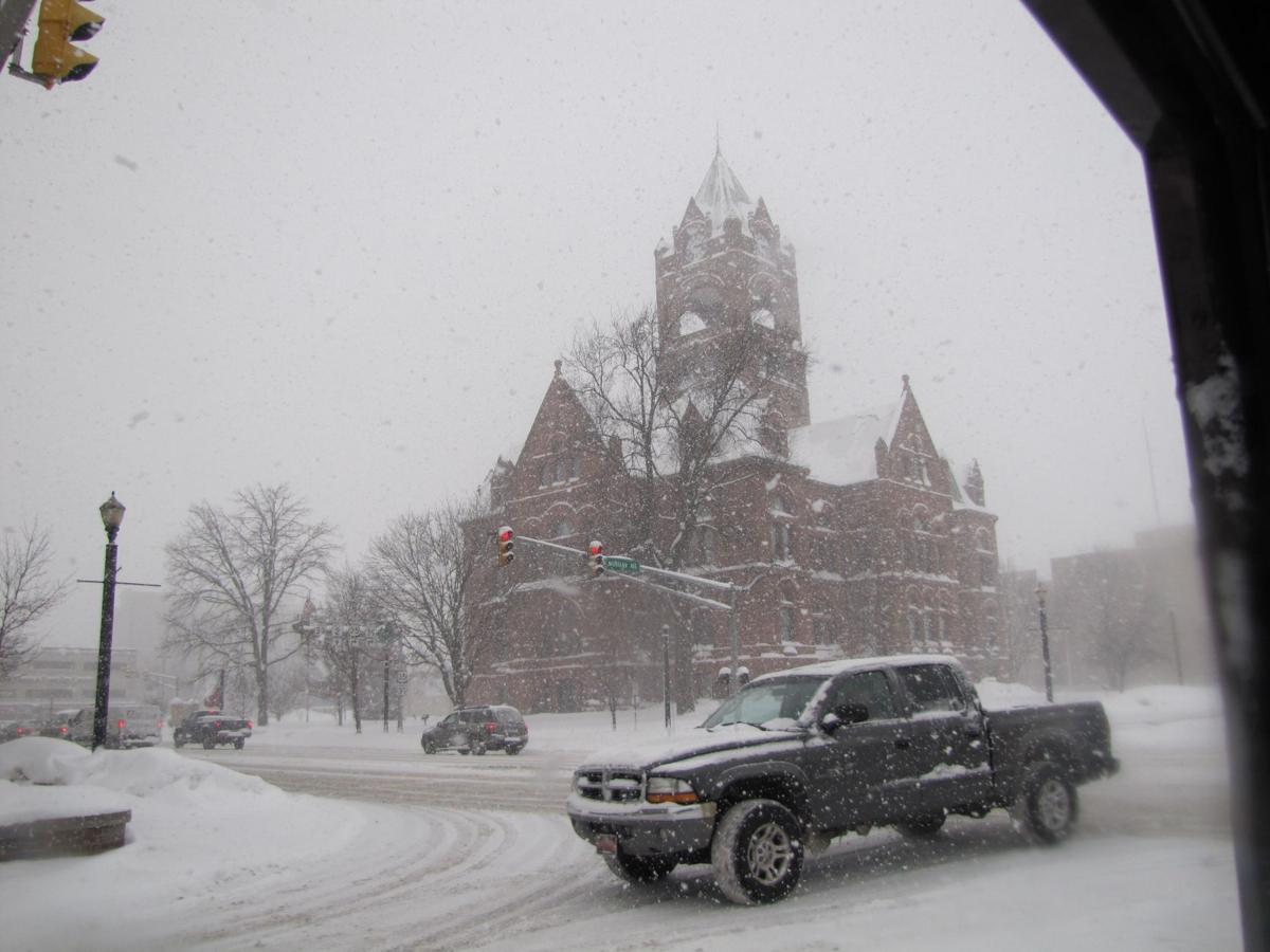
It was a cold morning Monday, and snow later in the day could make for a long afternoon commute.
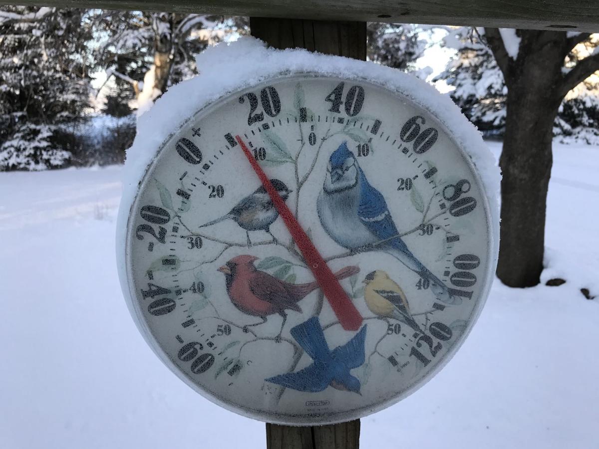
Wind chills as low as 20 degrees below zero greeted commuters headed out early Monday, marking the coldest morning since mid-January, according to the National Weather Service.
A number of schools throughout Northwest Indiana announced delays Monday as some communities dug out from Sunday's snow and air temperatures hovered at or below zero.
UPDATED: Map: Local Warming Centers
Communities in the Region may be offering warming centers due to the frigid temperatures. These locations have been used in the past as warming centers, but be sure to call ahead to verify hours. Are we missing a location? Is a listed location no longer valid? Email our editors at newstips@nwi.com.
About 8 a.m., the air temperature and wind chill at the Porter County Regional Airport were minus 5 and minus 20, respectively, the weather service said.
The Lansing Municipal Airport recorded an air temperature of minus 3 and wind chill of minus 10. At the Gary/Chicago International Airport, the air temperature was zero and the wind chill was minus 15.
Conditions Monday were expected to significantly worsen by afternoon, with snow expected to begin in Chicago's northwest suburbs about 2 p.m. and move southeast into Chicago and Northwest Indiana by 3 p.m.
A winter weather advisory for Lake, Porter, Newton and Jasper counties was scheduled from 3 p.m. to midnight Monday. New snow accumulation of 2 to 5 inches was expected.
A similar advisory for LaPorte County was set for 5 p.m. Monday to 2 a.m. Tuesday. New snow accumulation of 2 to 4 inches was expected.
Snowfall rates of up to 1 inch per hour were expected tonight, forecasters said.
The storm could result in dangerous travel conditions during the evening commute, including snow-covered roads, low visibility and much longer travel times.
Snow Sunday wreaked havoc on Northwest Indiana interstates. Indiana State Police said they responded Sunday afternoon to a 17-car pileup and a 13-car pileup on Interstate 80/94 in Lake County.
Many of the crashes could have been avoided if drivers had slowed down and allowed extra space between vehicles, police said.
Up to 3 inches of snow was reported in Portage and up to 2.4 inches was reported in Valparaiso following Sunday's storm, according to the Community Collaborative Rain, Hail and Snow Network.
Check back at nwi.com for updates.
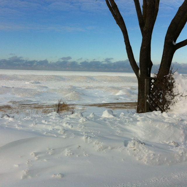
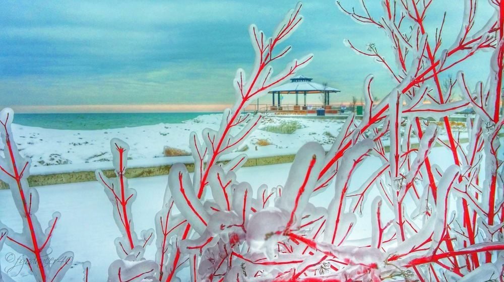
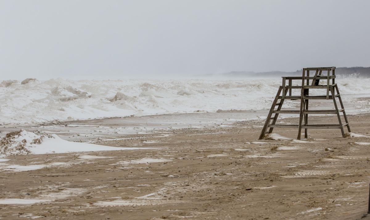
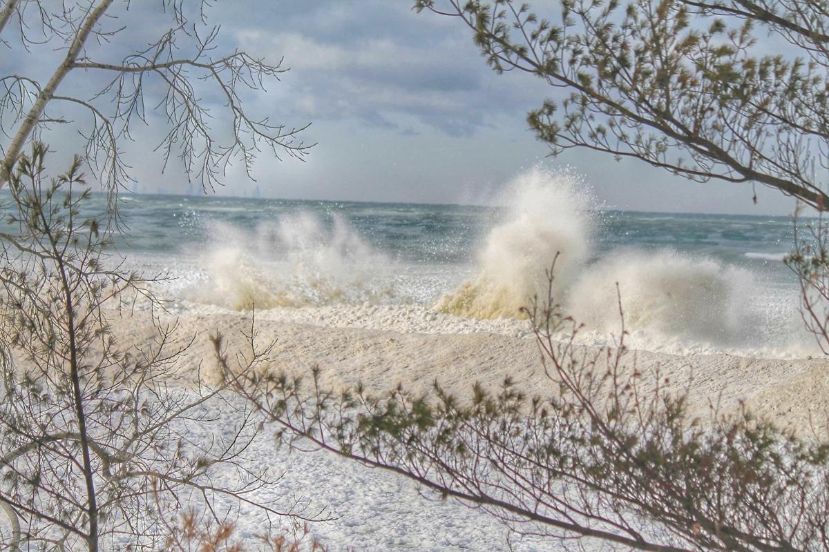
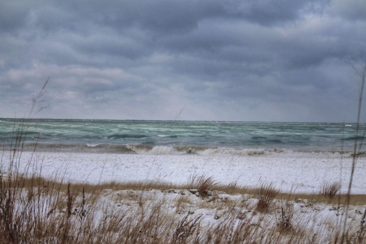
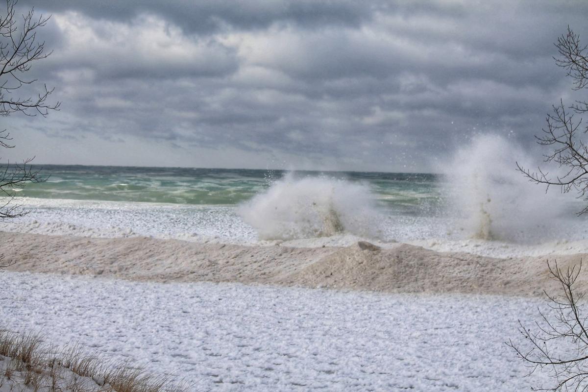
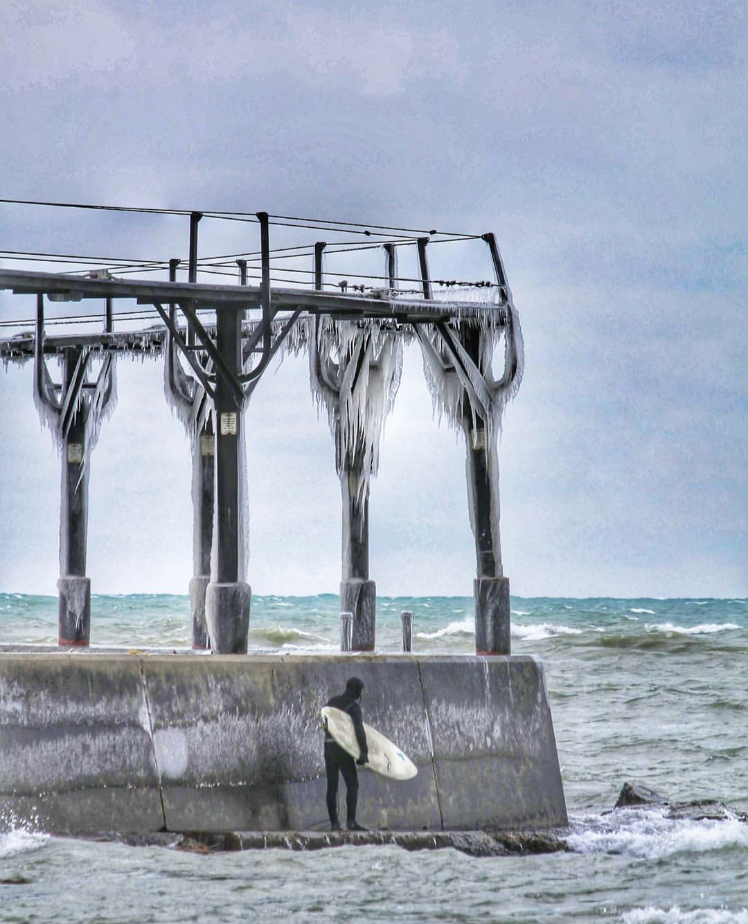
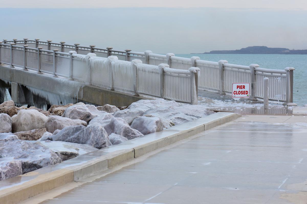
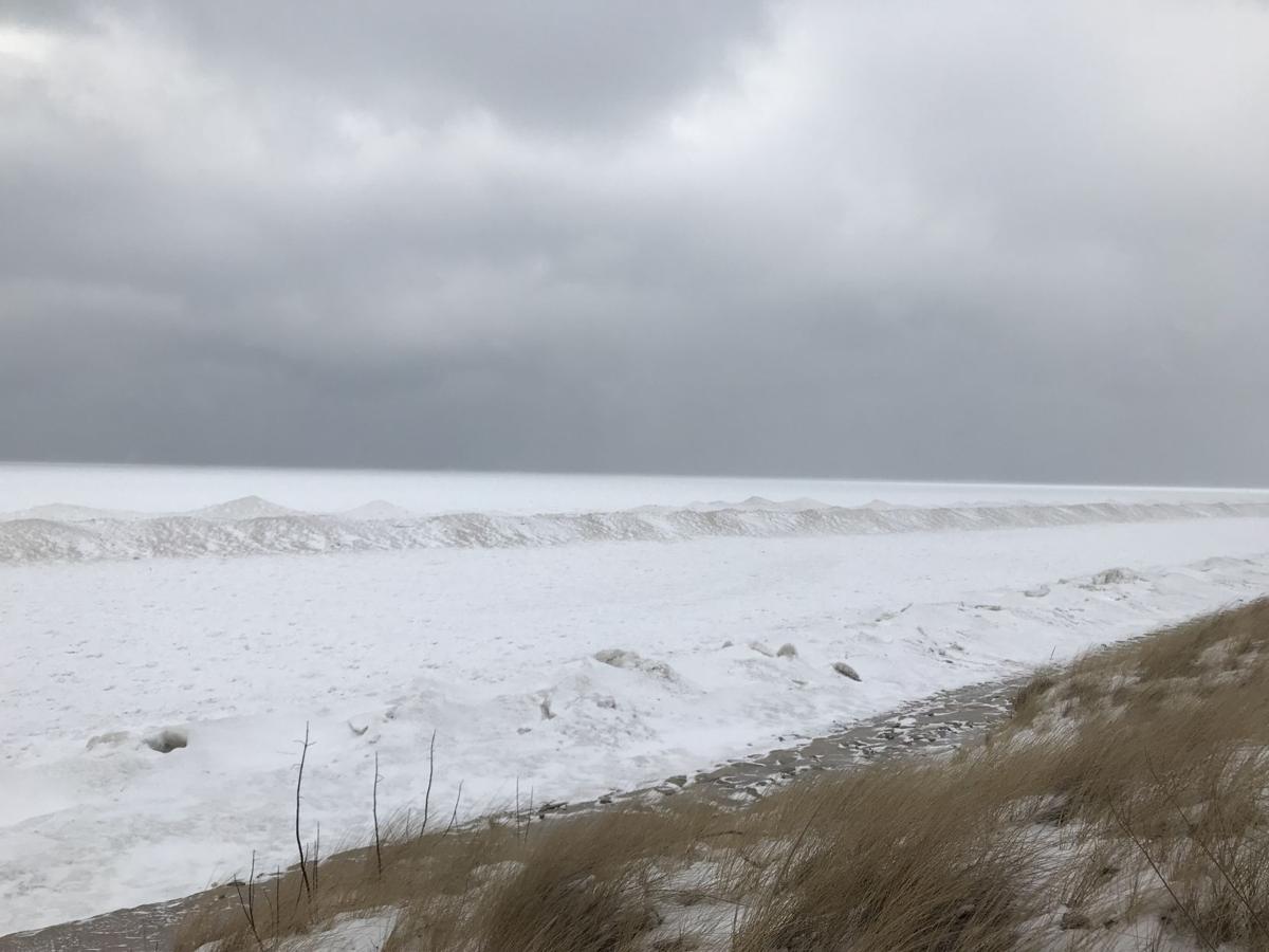
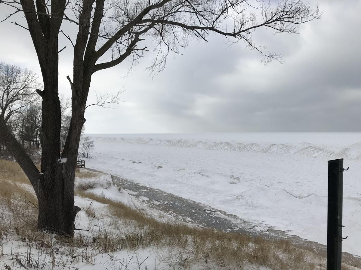
Whihala Beach
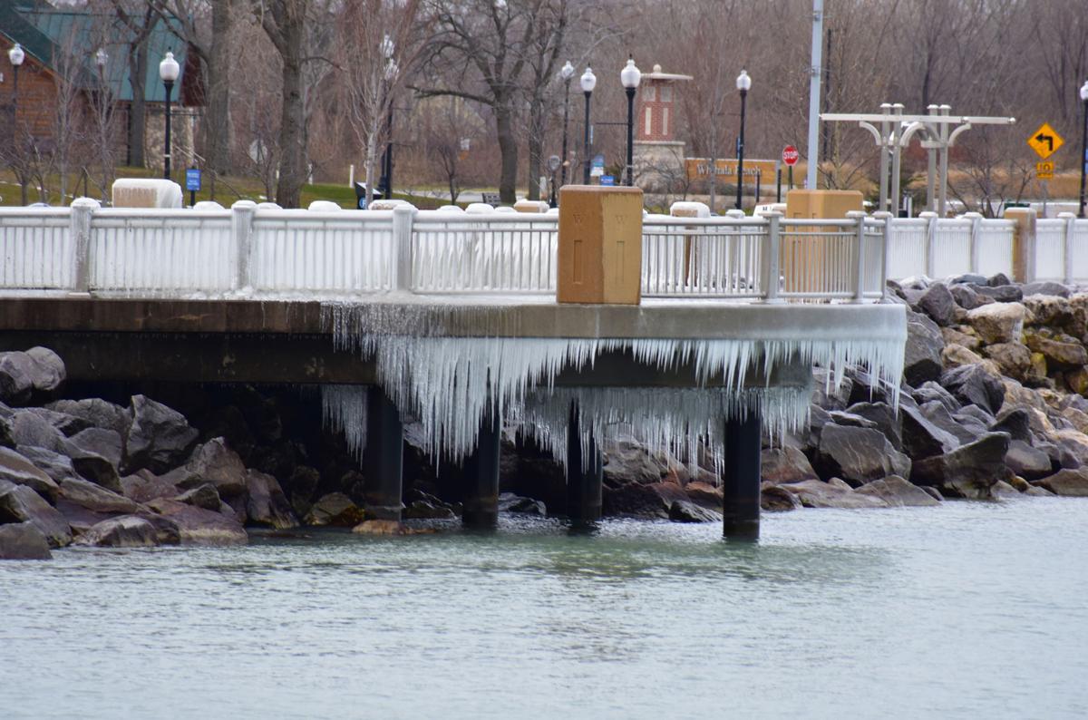
Whihala Beach
Whihala Beach
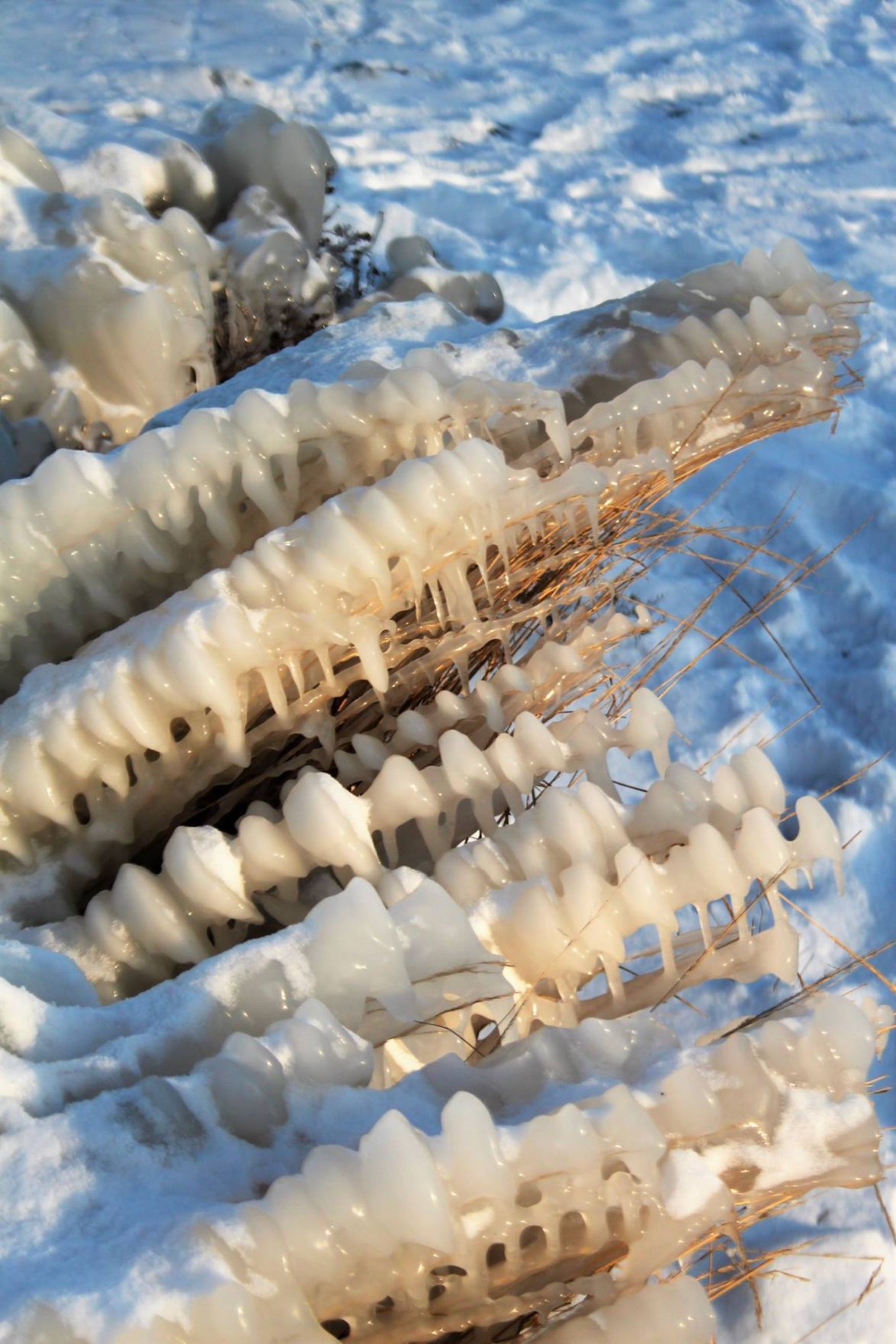
Whihala Beach
Whihala Beach
Whihala Beach
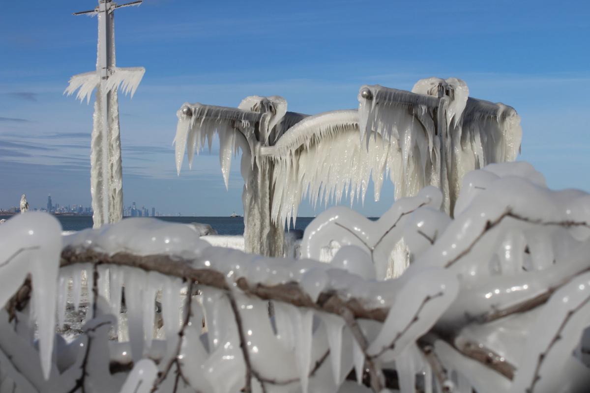
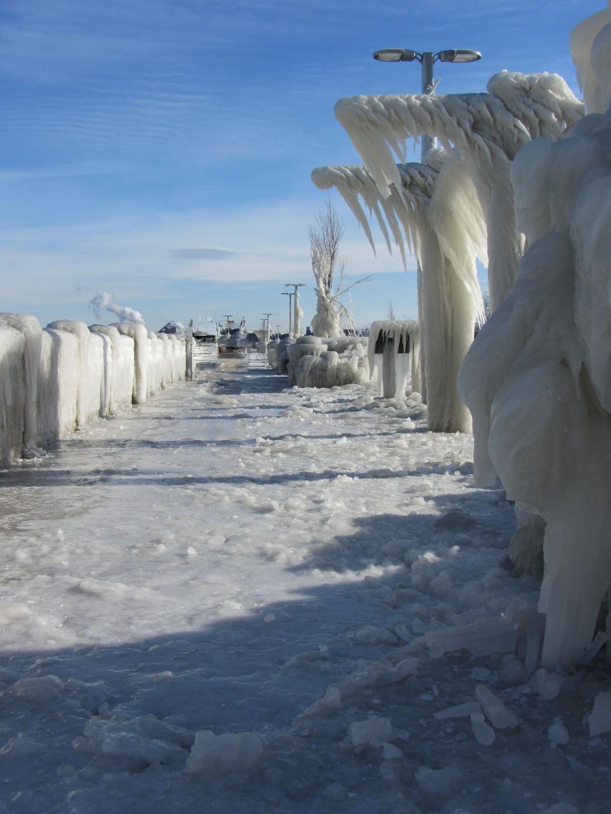
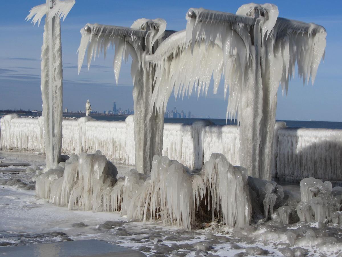
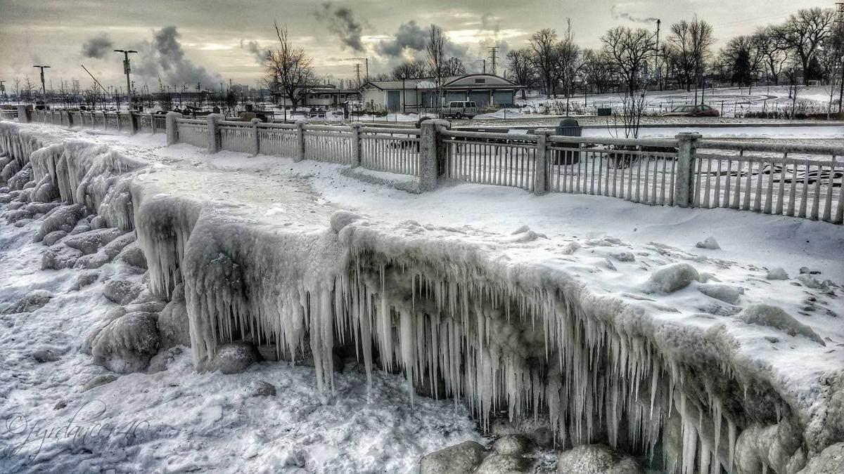
Whiting
Whiting
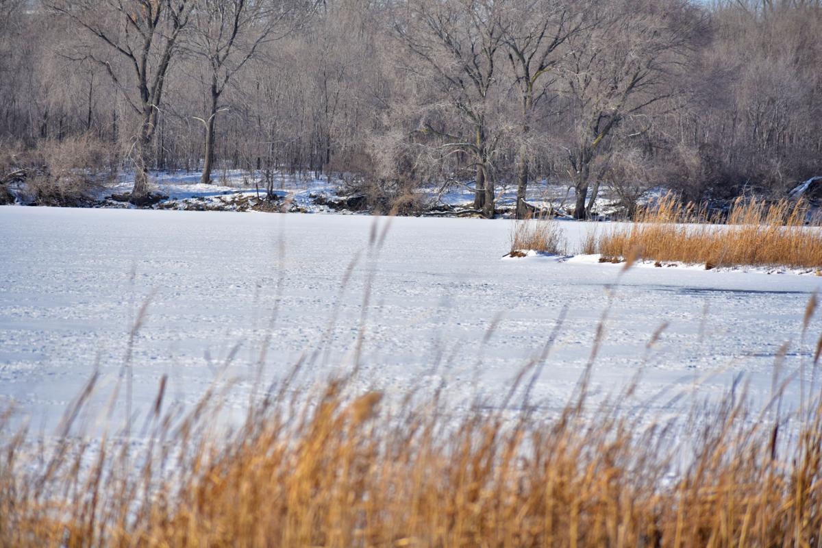
Cedar Lake

Shannon Krzeminski's four month old Pomeranian puppy at at the beach.

Shannon Krzeminski's four month old Pomeranian puppy at the beach.
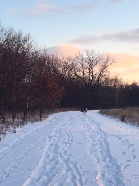
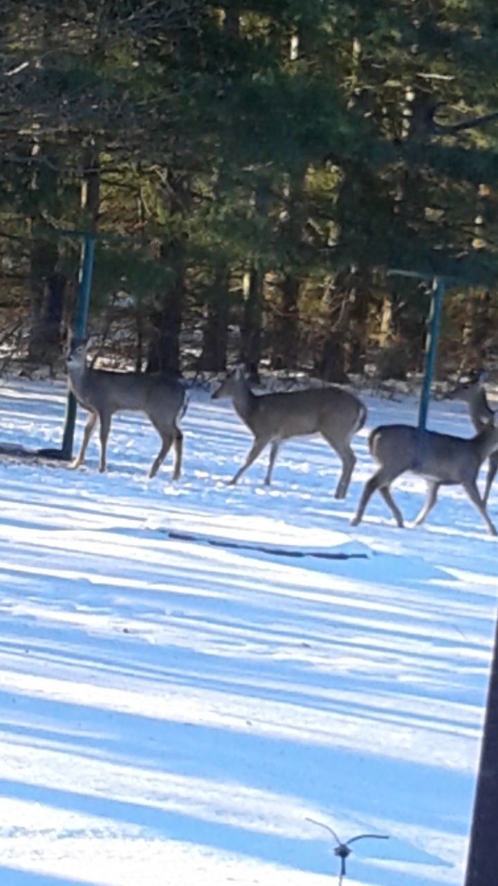
Deer cross Shannon Krzeminski's path while cross country skiing.
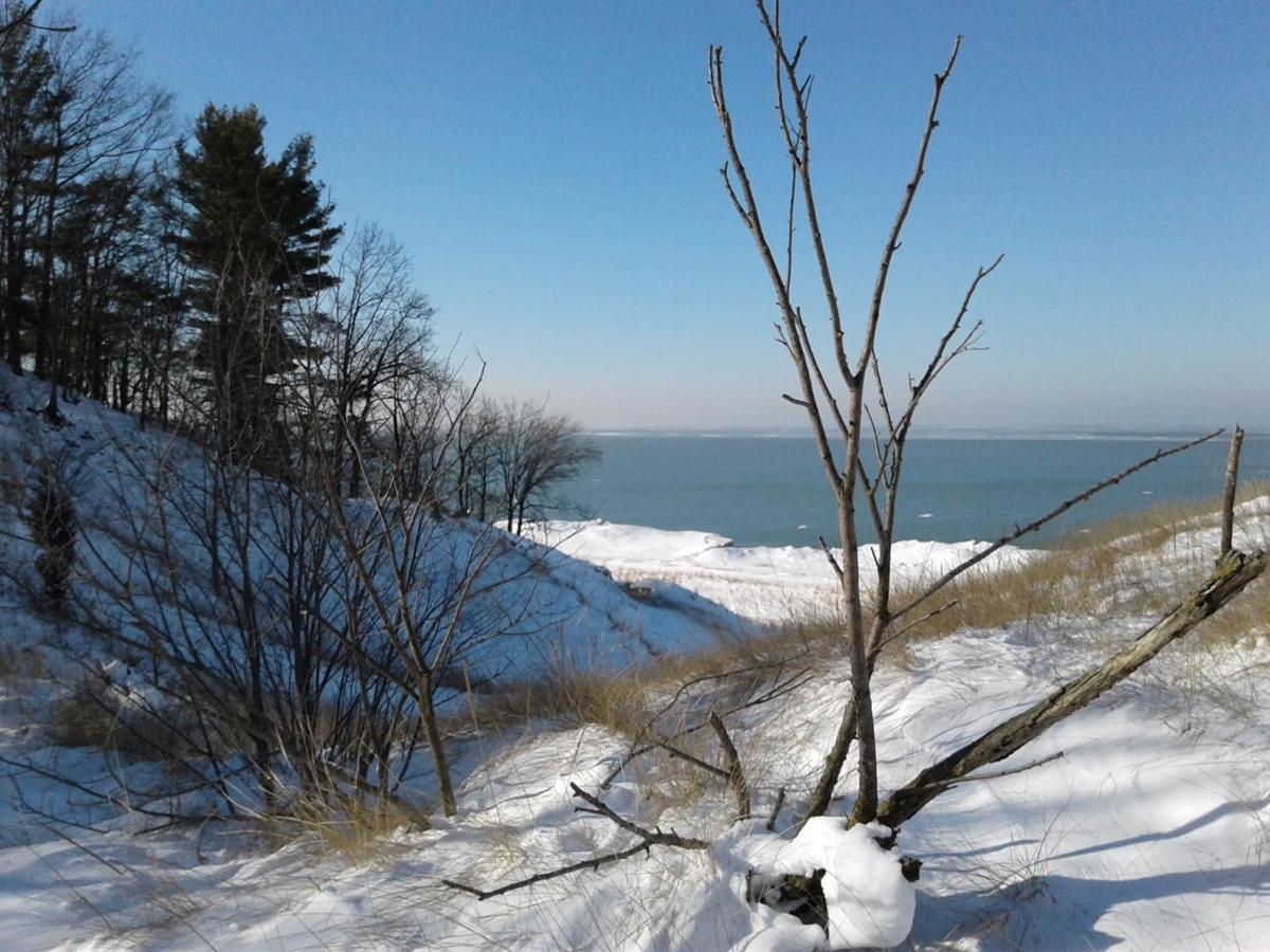
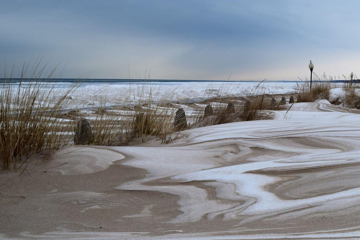
Beverly Shores
Looking down to the beach at stop 32 on Lake Shore Drive in Michigan City.
Along Lake Shore Drive, Michigan City.
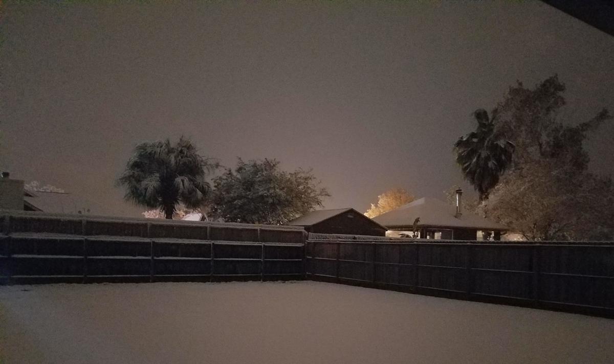
Our Front yard in Michigan City.
Our backyard in Michigan City.
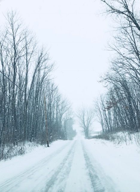
Country road in Winfield.
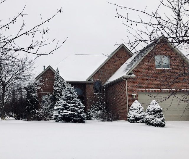
"Perfect fresh snow in front of my daughter's house in Country Meadow Estates in Winfield."
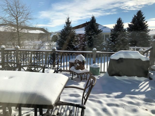
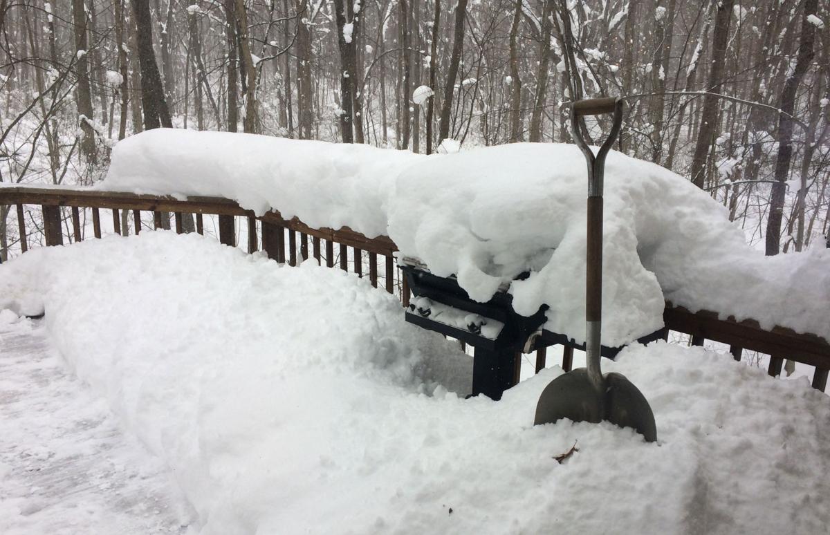
"My deck after a new snow in Crown Point."
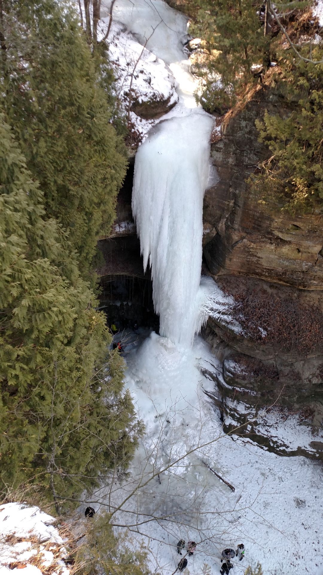
Starved Rock
Whihala Beach on Jan. 14.
Indiana Dunes State Park Trail 9 on Jan. 18.
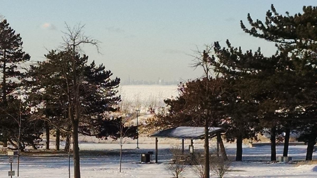
Miller Beach is shown on Jan. 4.
Lake Station
Portage Lakefront Park
Portage Lakefront Park
Running track next to Frank Hammond Elementary School
Terry and Bobbie Broach’s home in Demotte, Indiana.
Whiting Park
The Portage Riverwalk is shown on Jan. 15.
Whiting Park
Whtiing Park
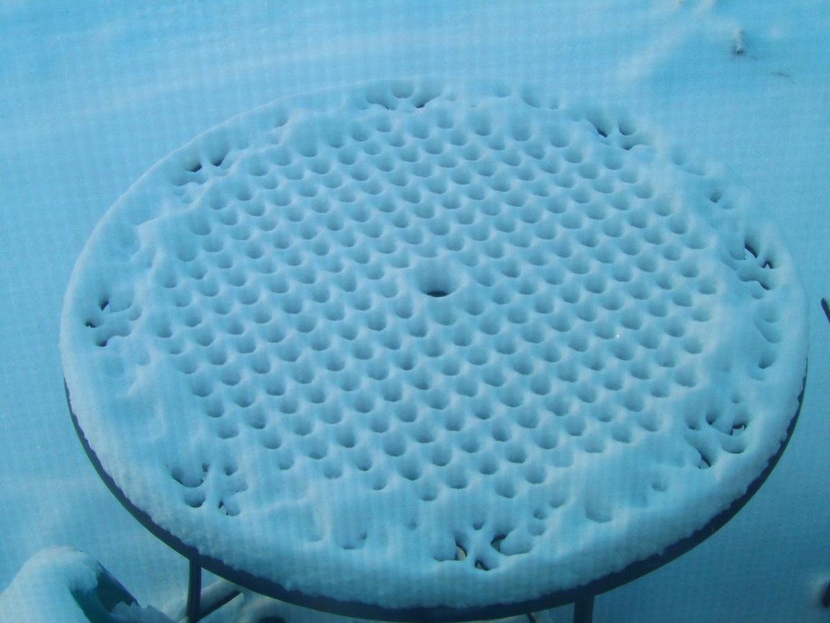
"Winters wonders created after forgetting to cover patio table," said Linda Snell via email. "What does it resemble to you? Perhaps Chinese checkers board or a pizzelle cookie?"
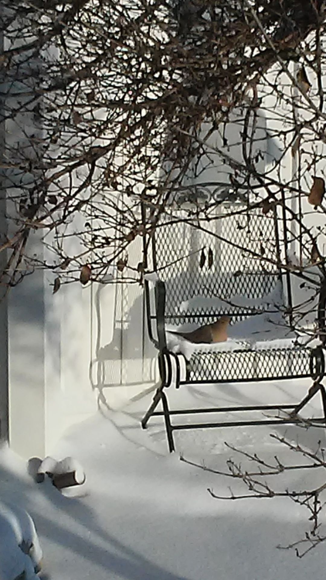
"We had a morning snow visitor in Lowell," said Debbie Johnson via email.
"This picture is from Lumberton, Texas," Tim Broertjes said via email. "I was raised in Griffith. Living in Texas for a long time now. We have had snow three times this winter the most that I have ever seen here."
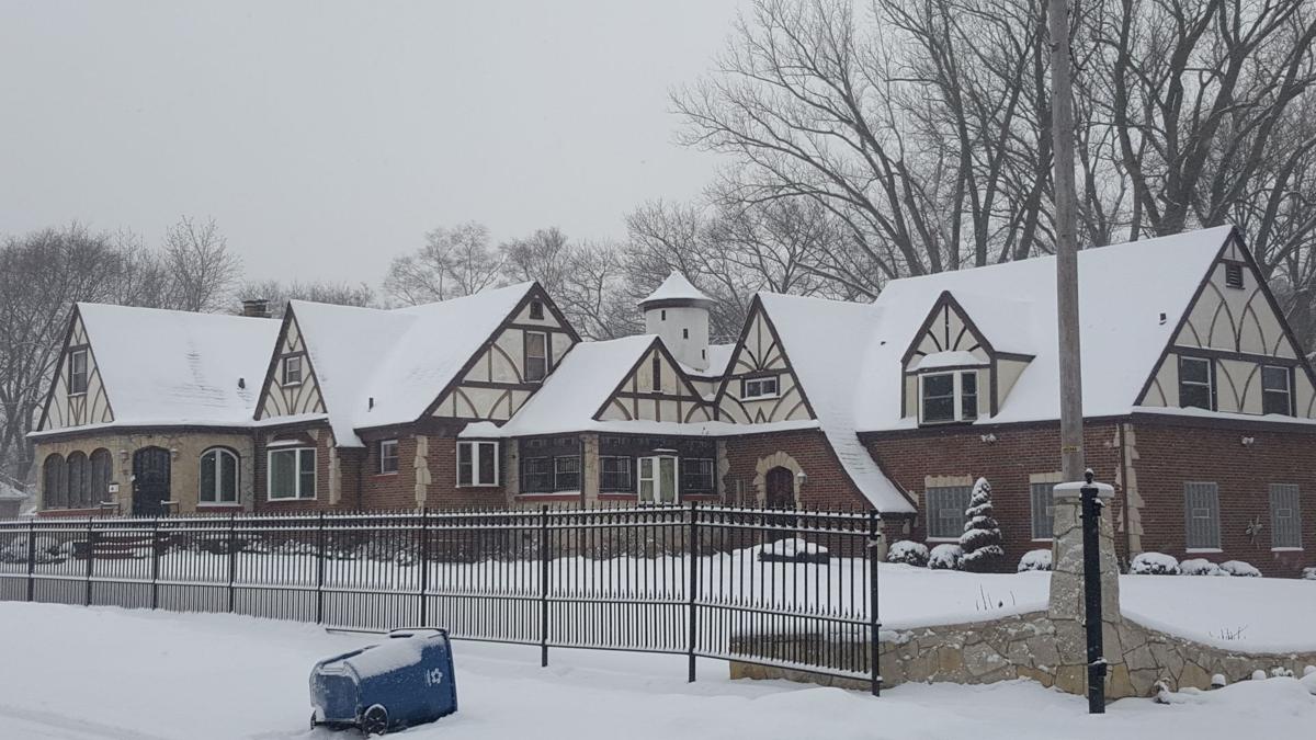
The former Wildermuth baby mansion in Gary, Indiana.
7700 Block of Forest Avenue in Munster
7700 Block of Forest Avenue in Munster
West Beach
West Beach is shown.
West Beach
West Beach
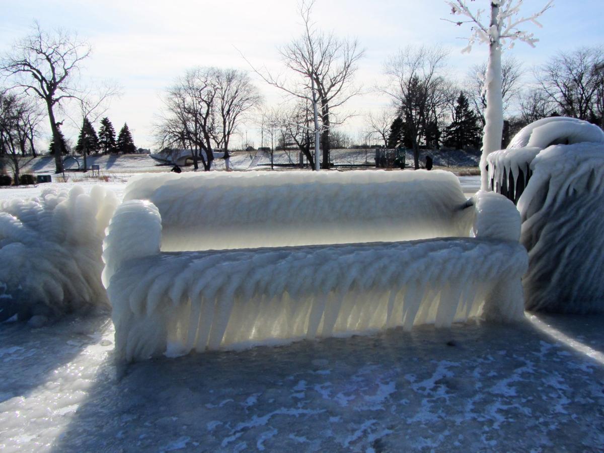
Whiting Park
Whiting Park
Whiting Park
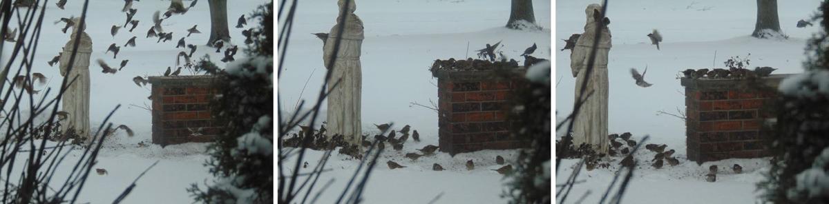
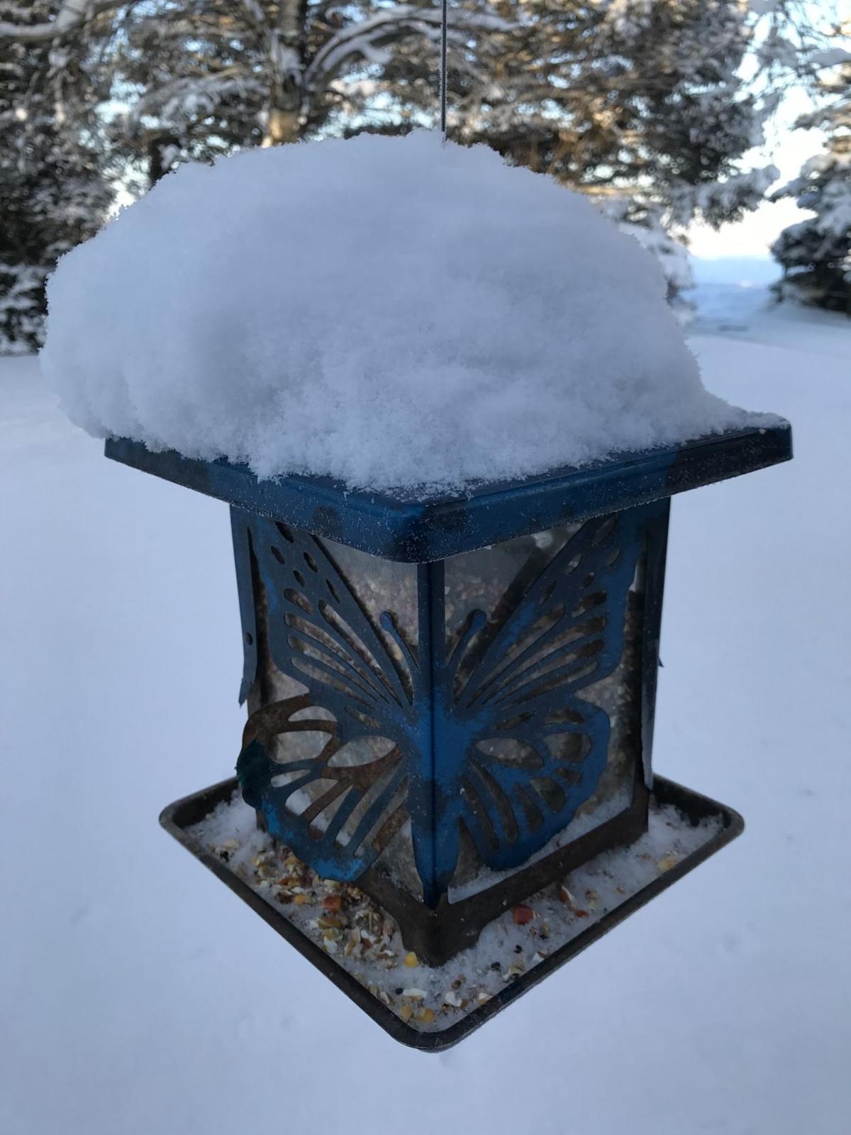
"I took some photos from my window this morning of my bird feeder," said Mike Paulson, of Munster, via email. "I also set out extra bird seed on the adjacent ledge and was surprised at the number of birds that came to eat. I have a Saint Francis that holds a bowl for the bird seed."
Snow falls on 33rd Street in Hobart.
Snow falls on 33rd Street in Hobart.
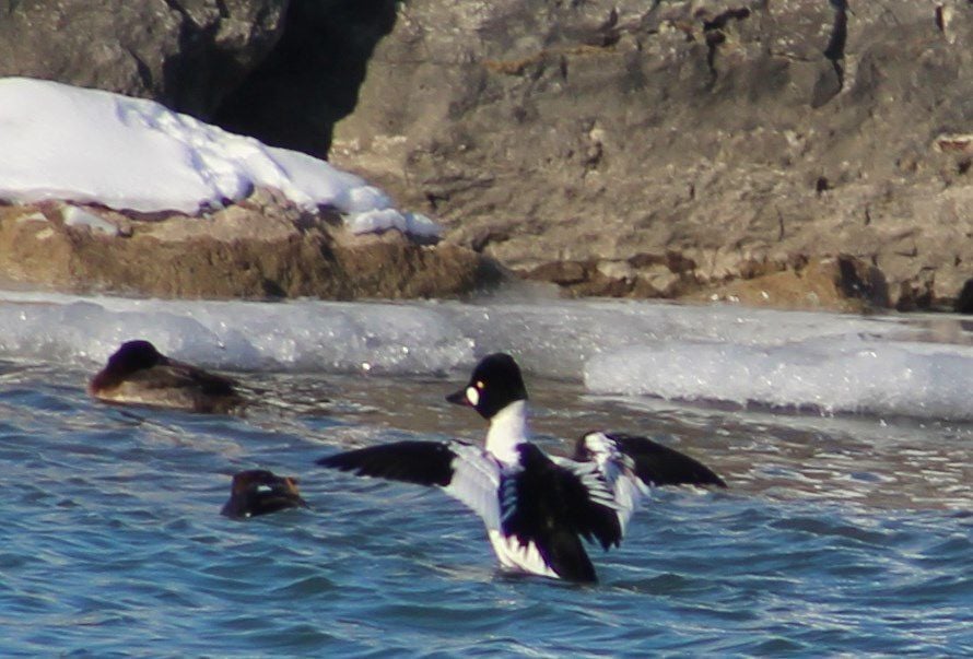
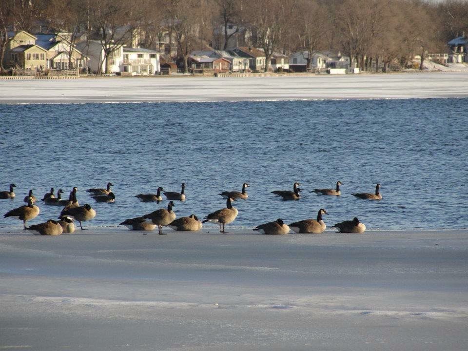
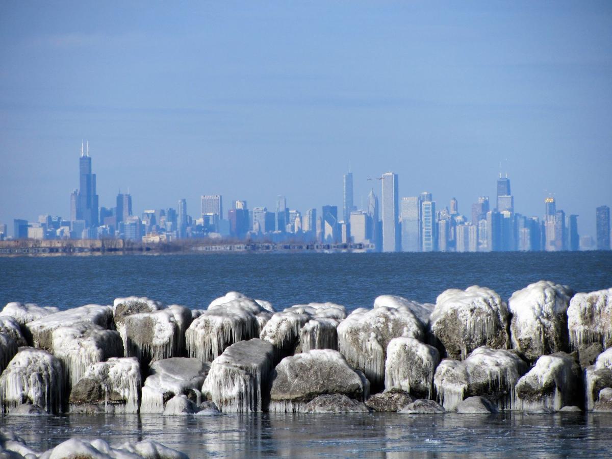
An American goldeneye duck is spotted at Whiting Lakefront Park.
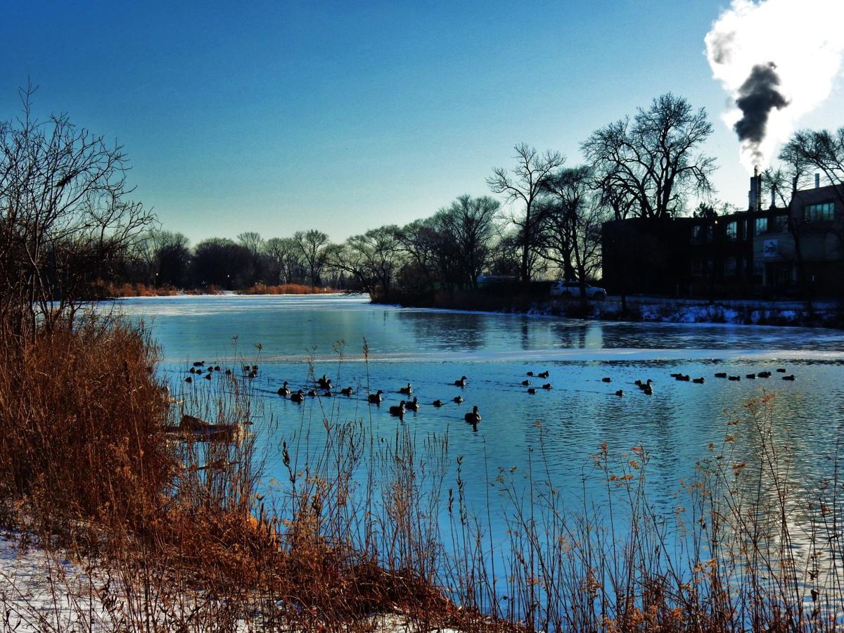
The Corn Channel of Wolf Lake in Hammond.
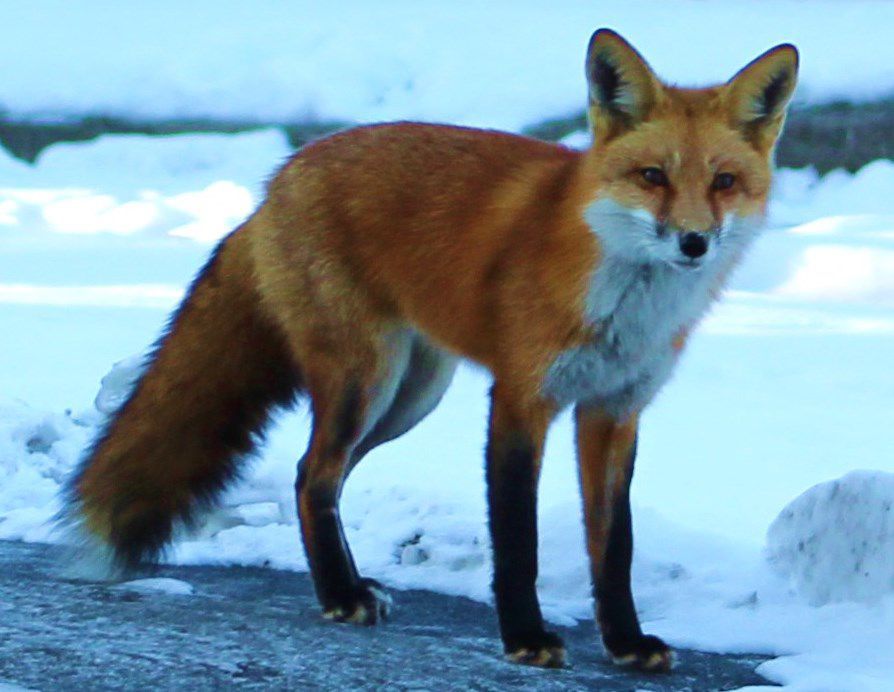
A fox is spotted across the street from Purdue Northwest campus.
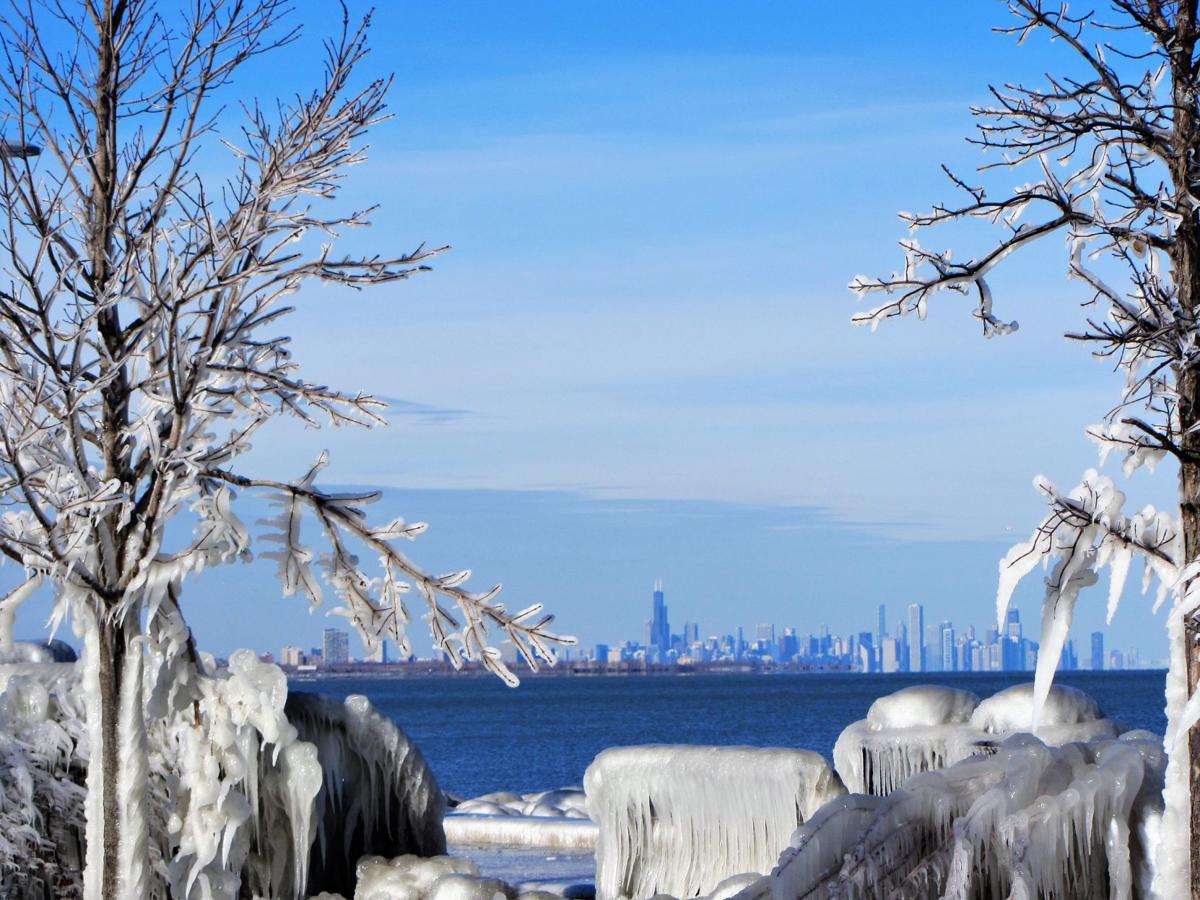
Whiting lakefront

Whiting lakefront
Whiting lakefront
Whiting's lakefront is shown.
Whiting lakefront
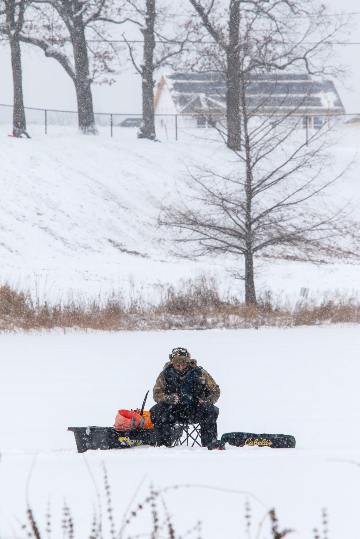
Rusty Landis of Crown Point takes advantage of the region's arctic temperatures to do some ice fishing on Fancher Lake at the Lake County Fairgrounds.
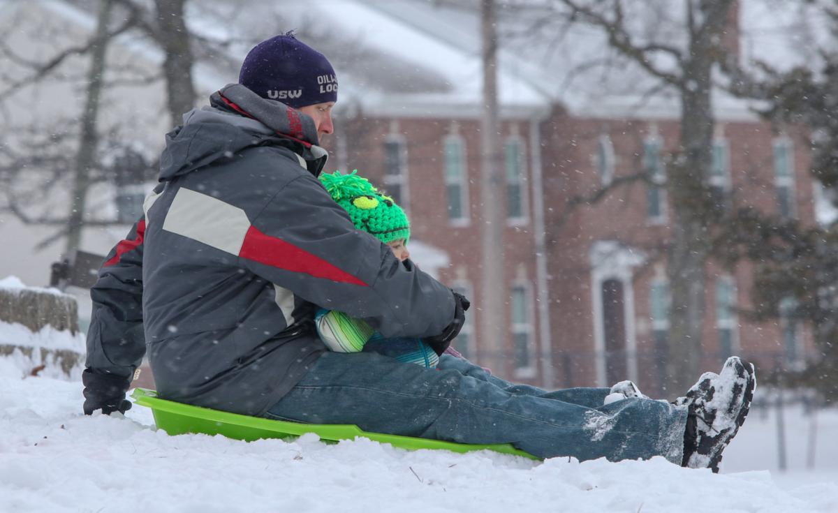
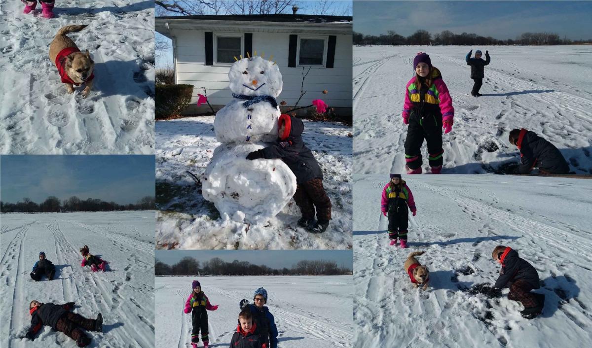
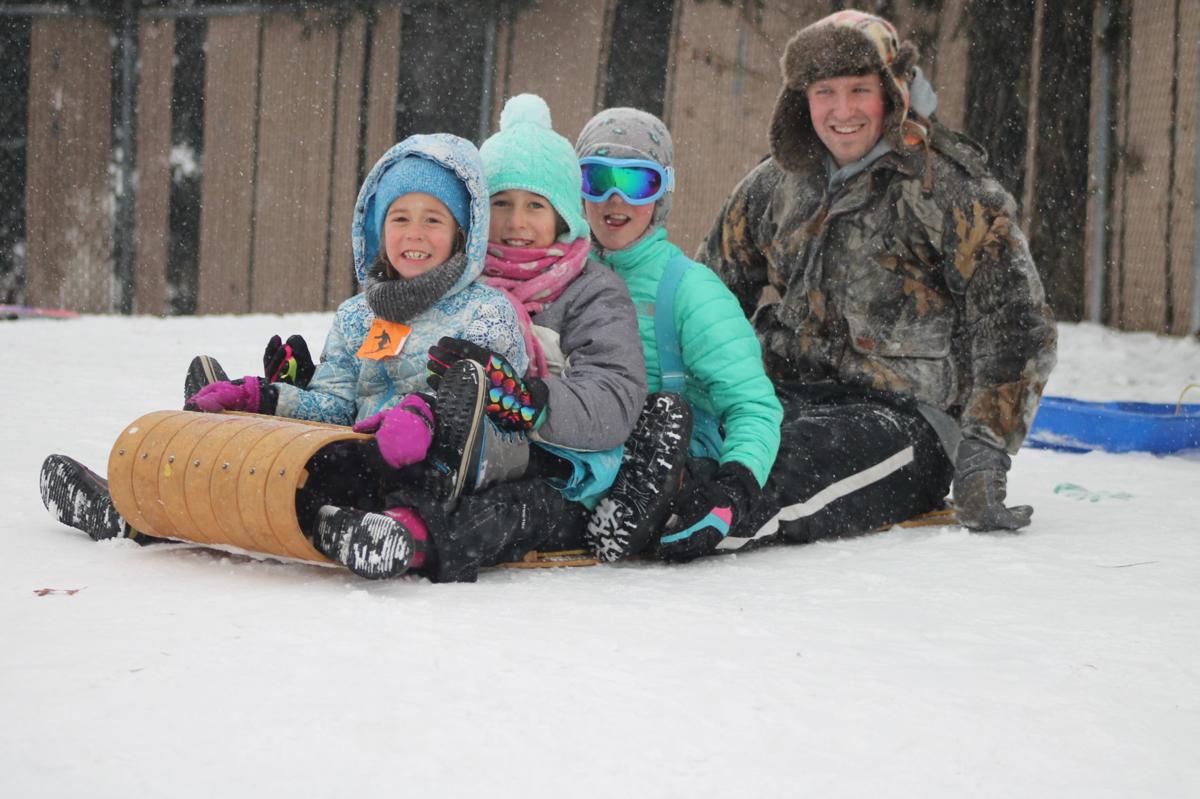
Aaron Clemens and his daughter Jackie Clemens, 2, of Crown Point, take off down a hill Monday at the Lake County fairgrounds.
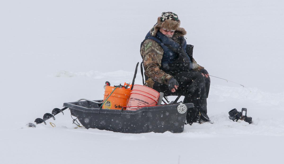
Rusty Landis of Crown Point takes advantage of the region's arctic temperatures to do some ice fishing on Fancher Lake at the Lake County Fairgrounds.
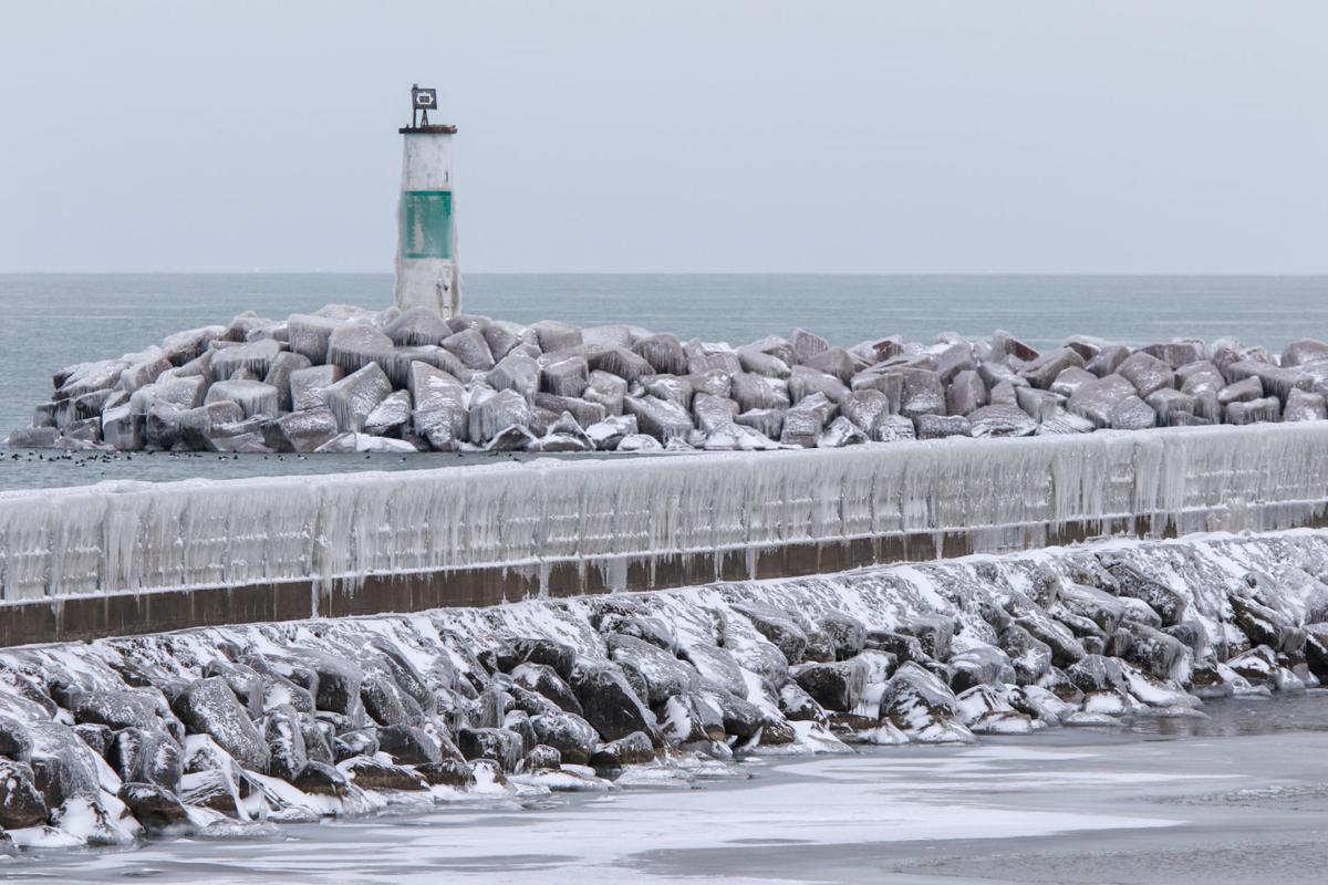
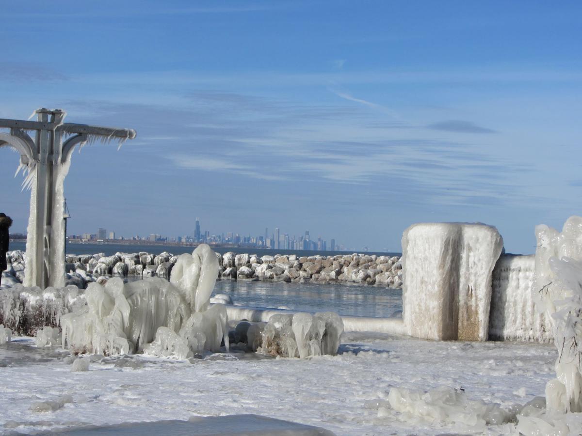
The breakwall at the Portage Lakefront and Riverwalk is pictured. The area is experiencing continued erosion.
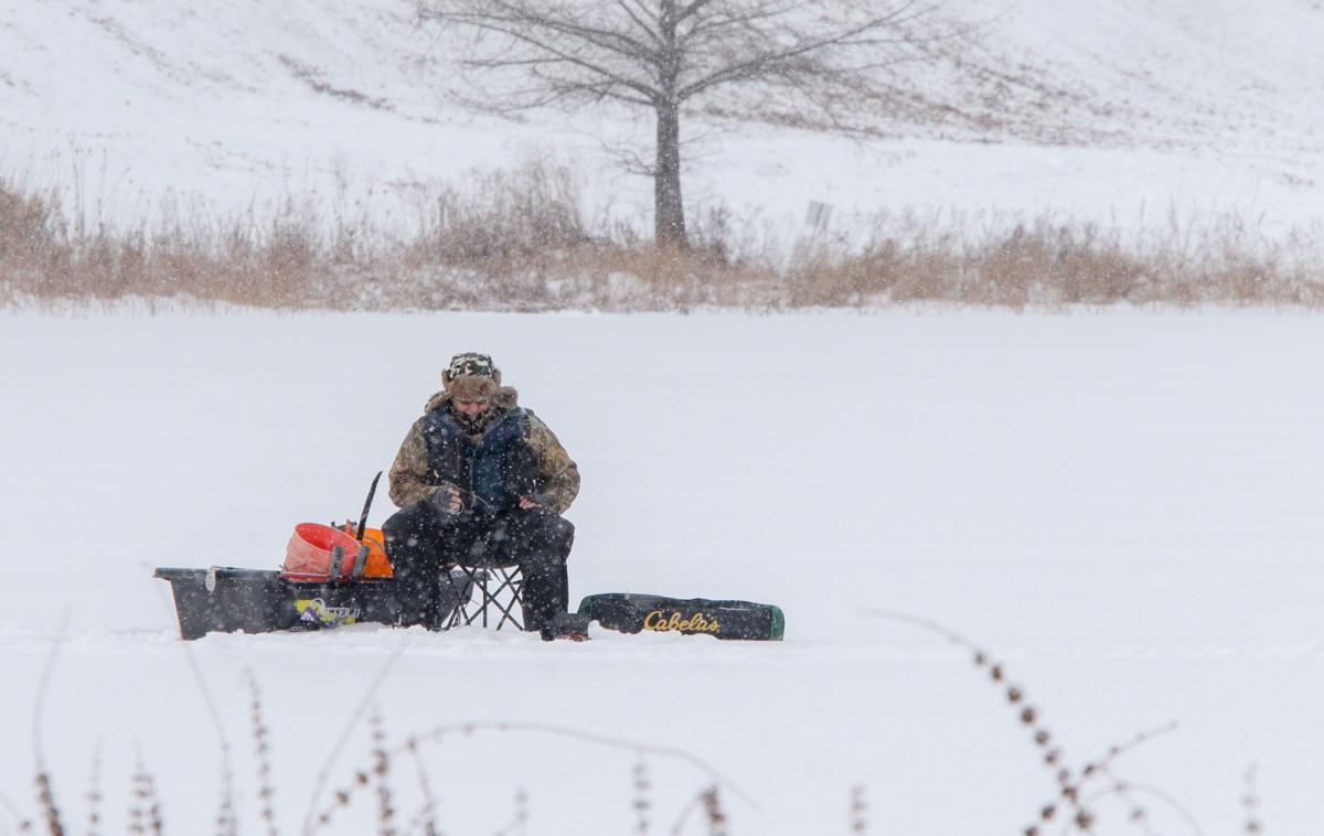
Rusty Landis, of Crown Point, takes advantage of the Region's arctic temperatures to do some ice fishing Monday on Fancher Lake at the Lake County fairgrounds.
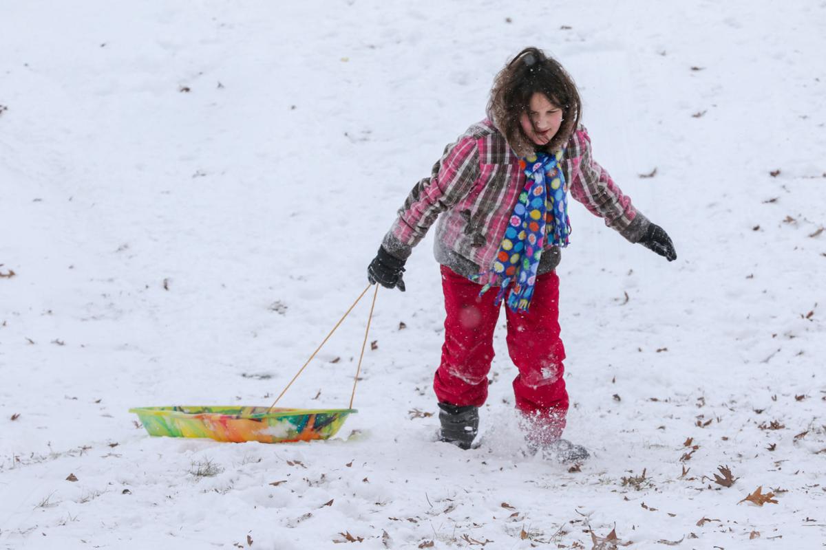
Camlen Justice, 9, of Cedar Lake, drags her sled back up the hill Monday at the Lake County fairgrounds.
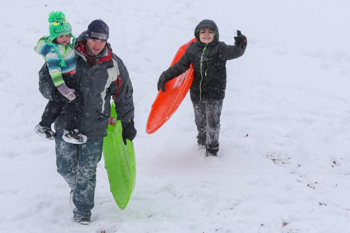
Aaron Clemens and his daughter Jackie Clemens, 2, and step-son Eddie Miranda, all of Crown Point, enjoy the snowy hills Monday at the Lake County fairgrounds.
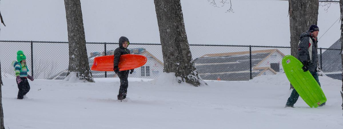
Aaron Clemens, right, and his stepson Eddie Miranda, 8, and daughter Jackie Clemens, 2, all of Crown Point, head to the sledding hills at the Lake County fairgrounds on Monday.
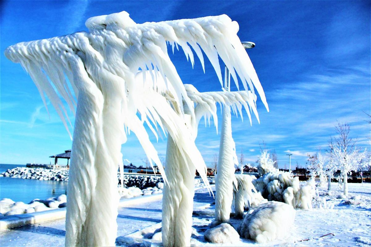
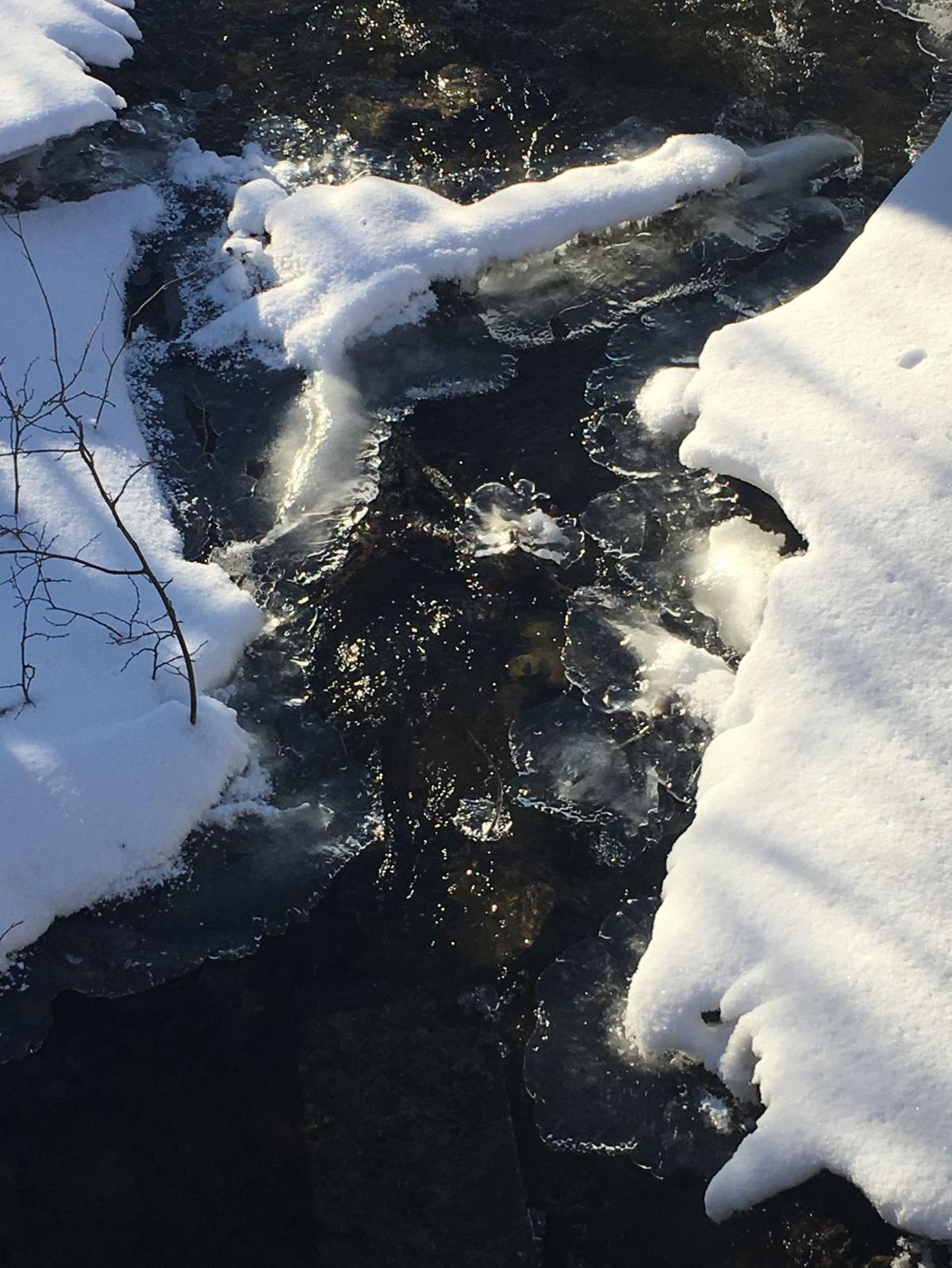
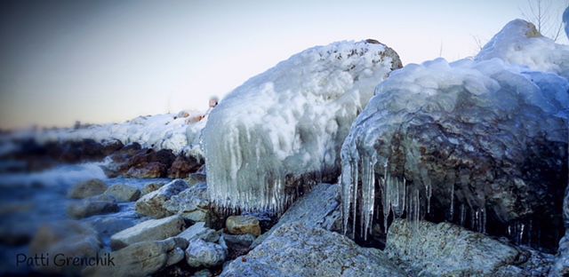
Nature has created natural ice sculptures along the breakwall at the Portage Lakefront and Riverwalk.
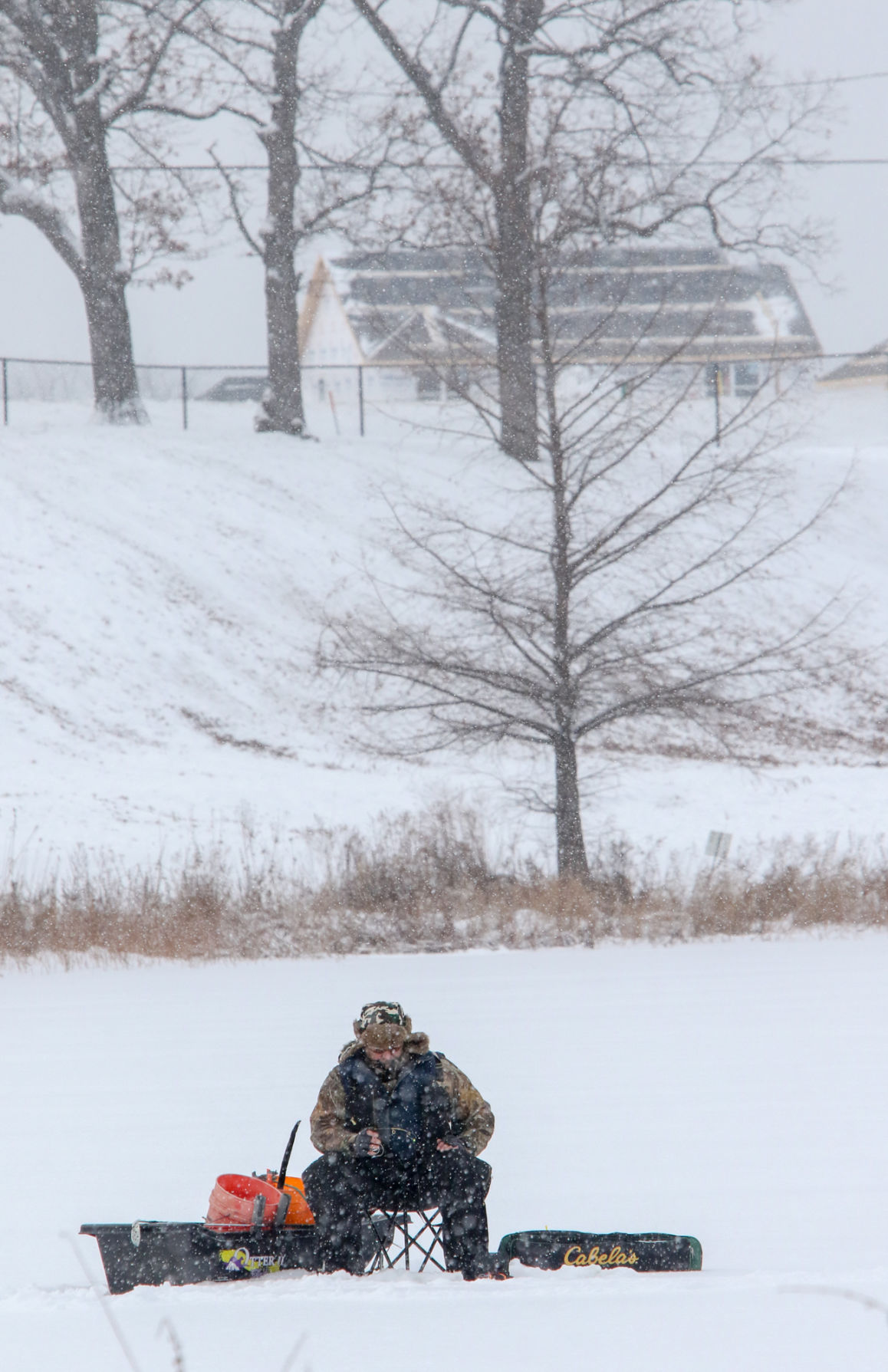
Rusty Landis, of Crown Point, goes ice fishing Monday on Fancher Lake at the Lake County Fairgrounds in Crown Point.
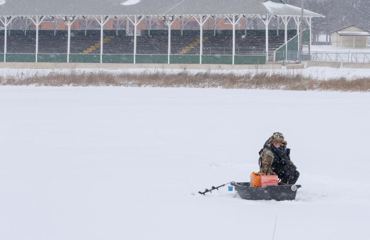
Rusty Landis, of Crown Point, does some ice fishing on Fancher Lake at the Lake County Fairgrounds.
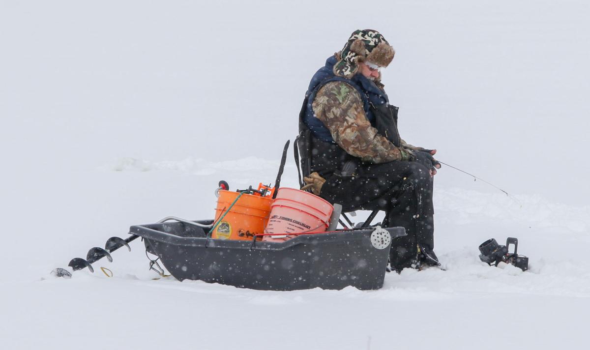
Rusty Landis, of Crown Point, takes advantage of the Region's arctic temperatures to do some ice fishing Monday on Fancher Lake at the Lake County fairgrounds.
Hobart
Hobart
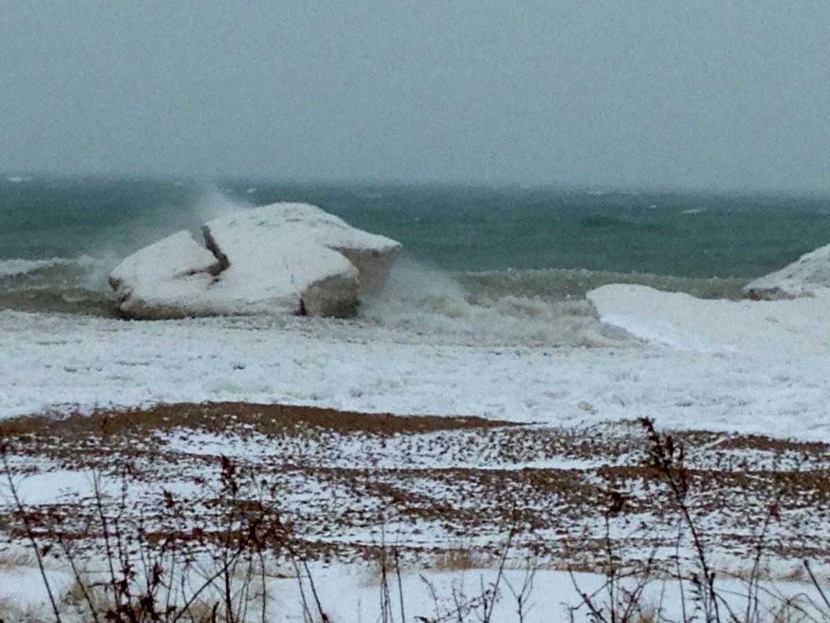
Whihala Beach
Whihala Beach
Whihala Beach
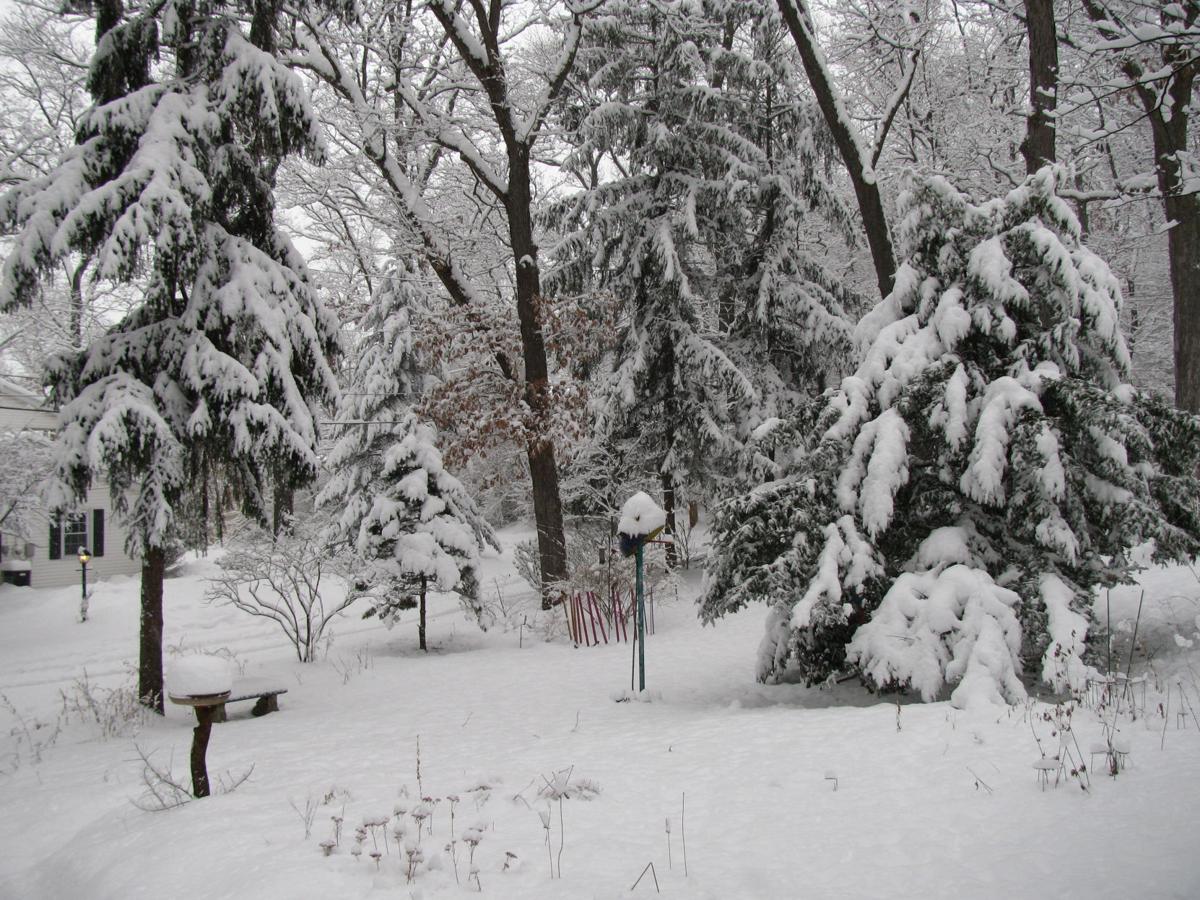
Michigan City
Michigan City
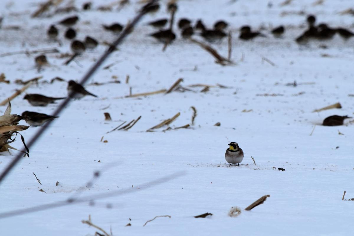
Birds — including horned larks, snow buntings and lapland larkspurs — rest in the snow in Westville on Jan. 7.
Herbie enjoys the snow in LaPorte on Jan. 7.
LaPorte on Faile Road and U.S. 20.
LaPorte on Faile Road and U.S. 20.
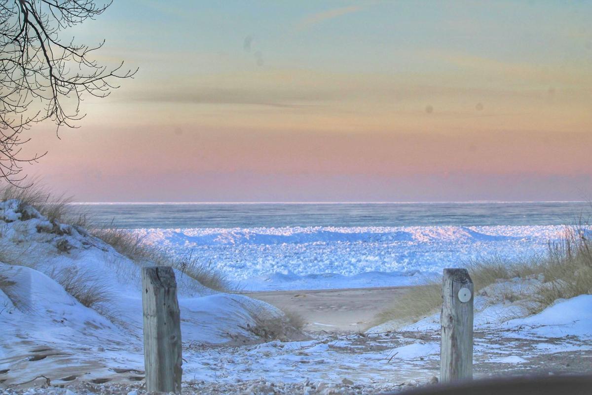
Snowbank at Long Beach.
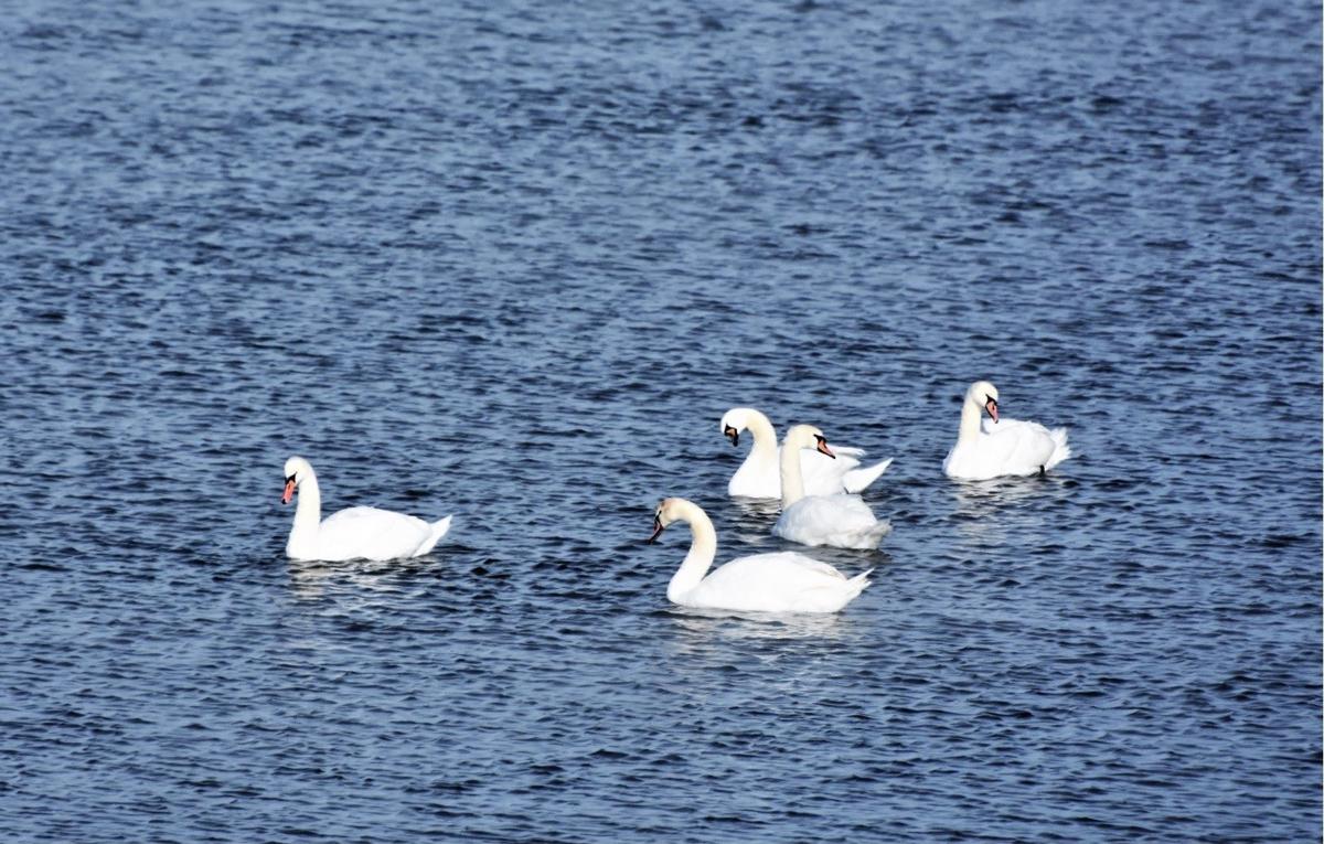
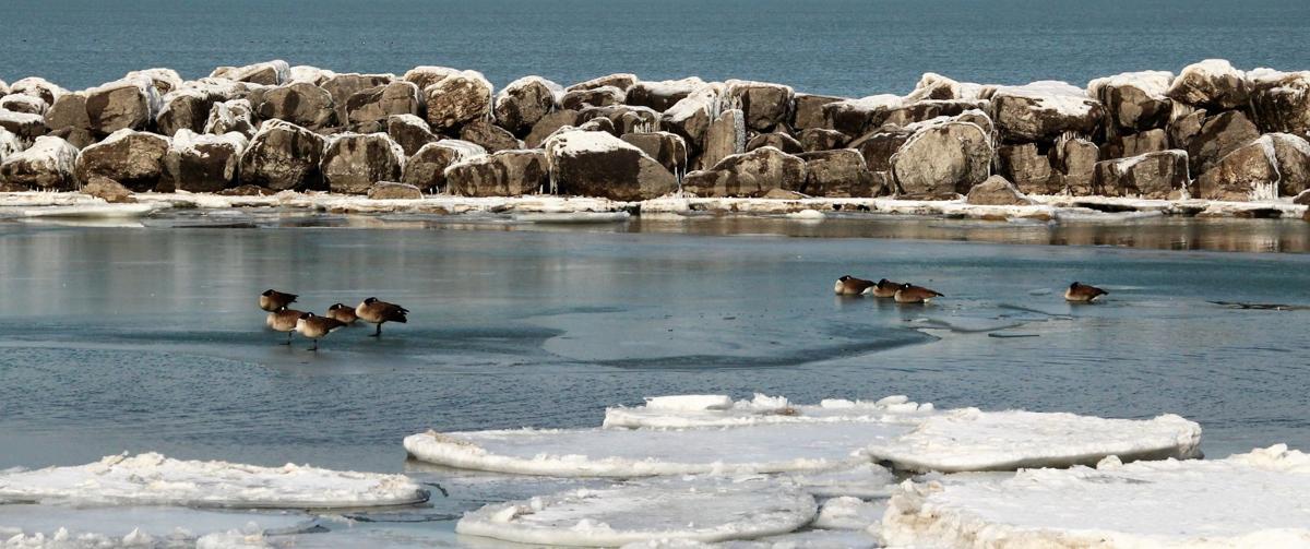
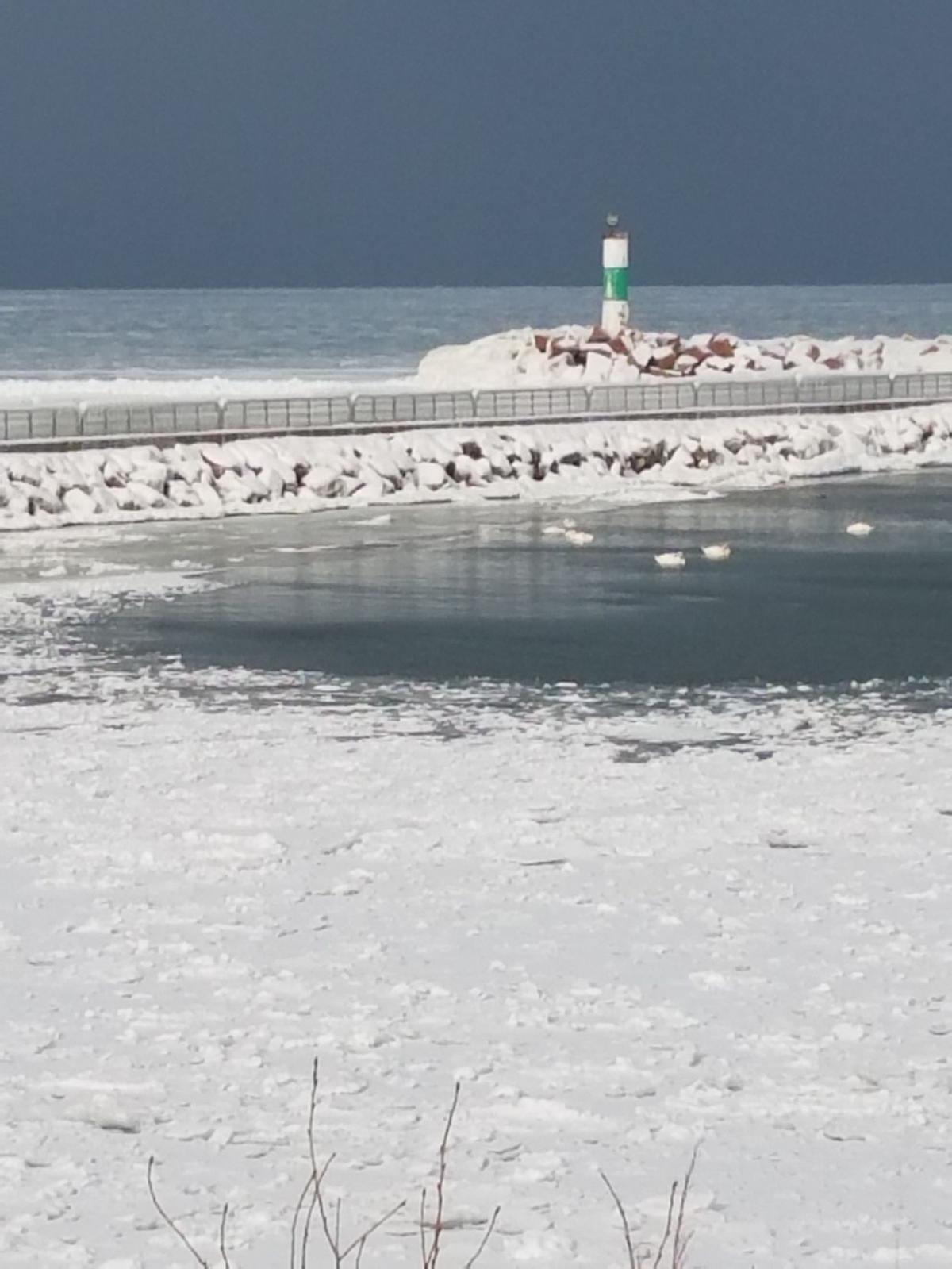
Swans at Portage Lakefront and Riverwalk.
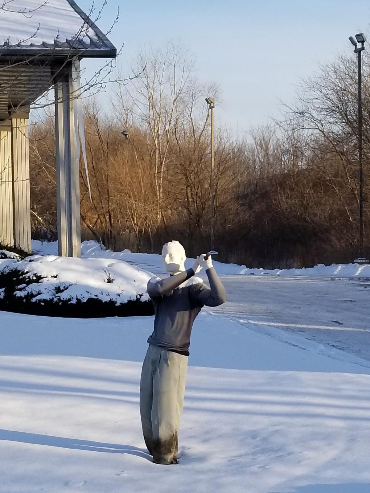
Cold golfer.
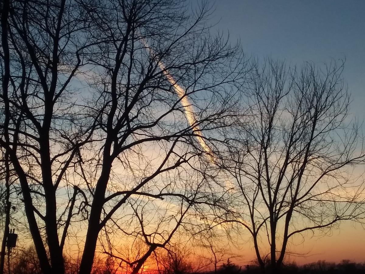
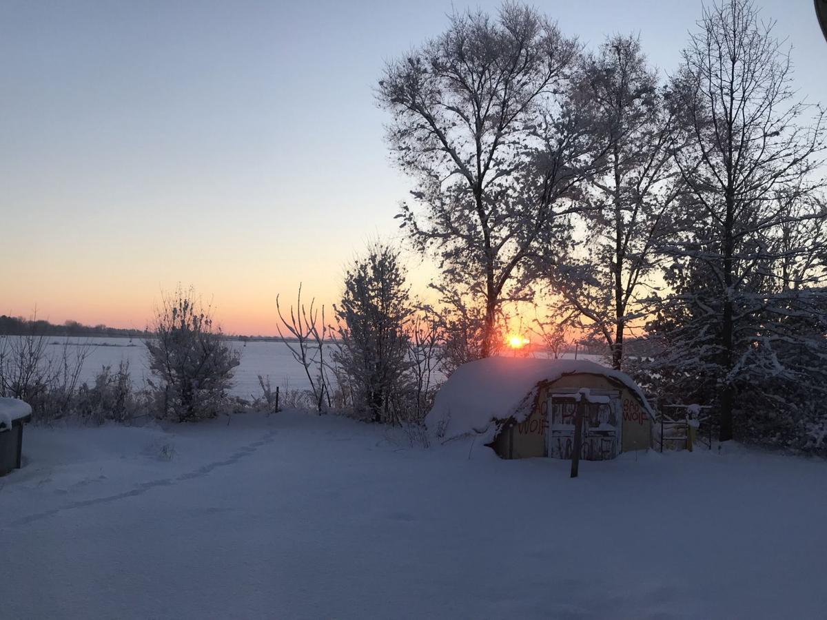
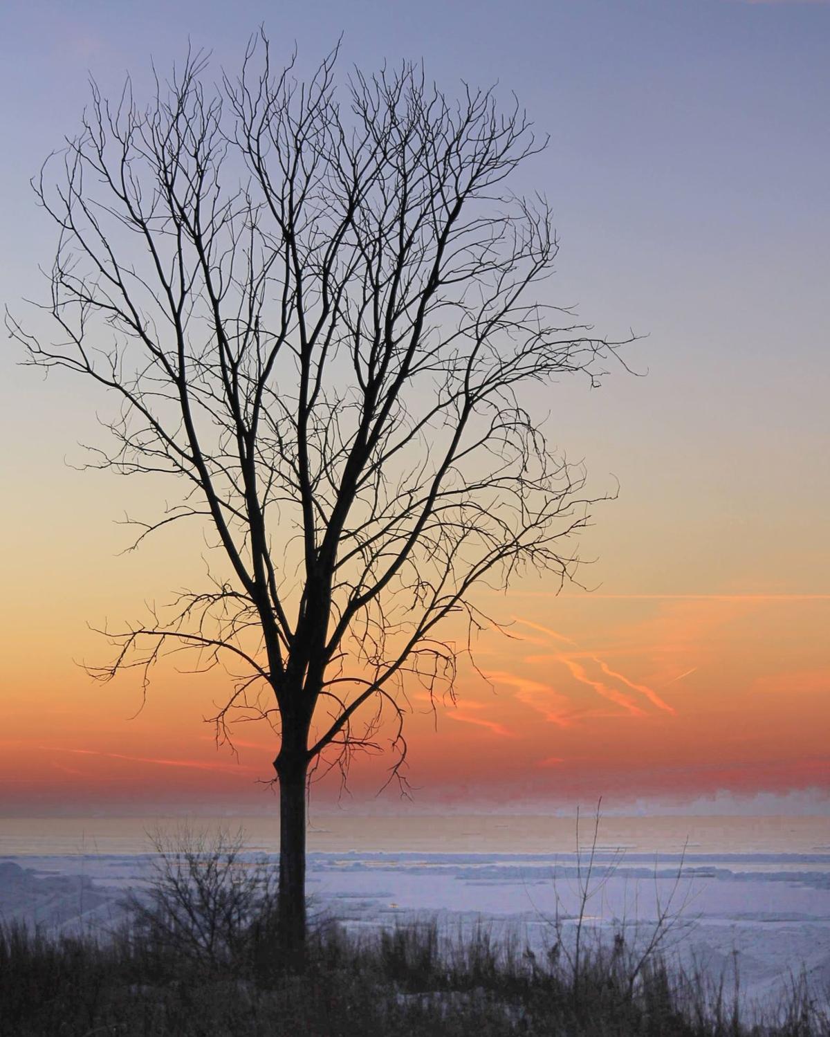
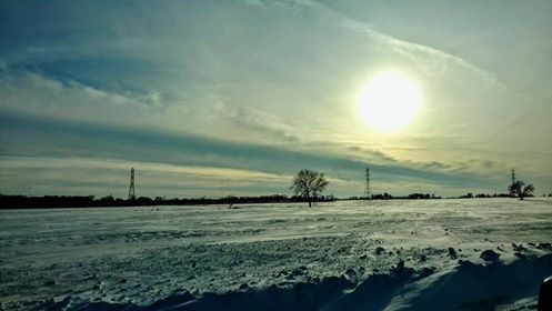
Sunset in St. Joe.
Sunset in St. Joe.
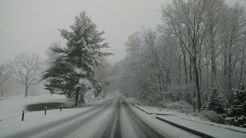
Snow in LaPorte County.
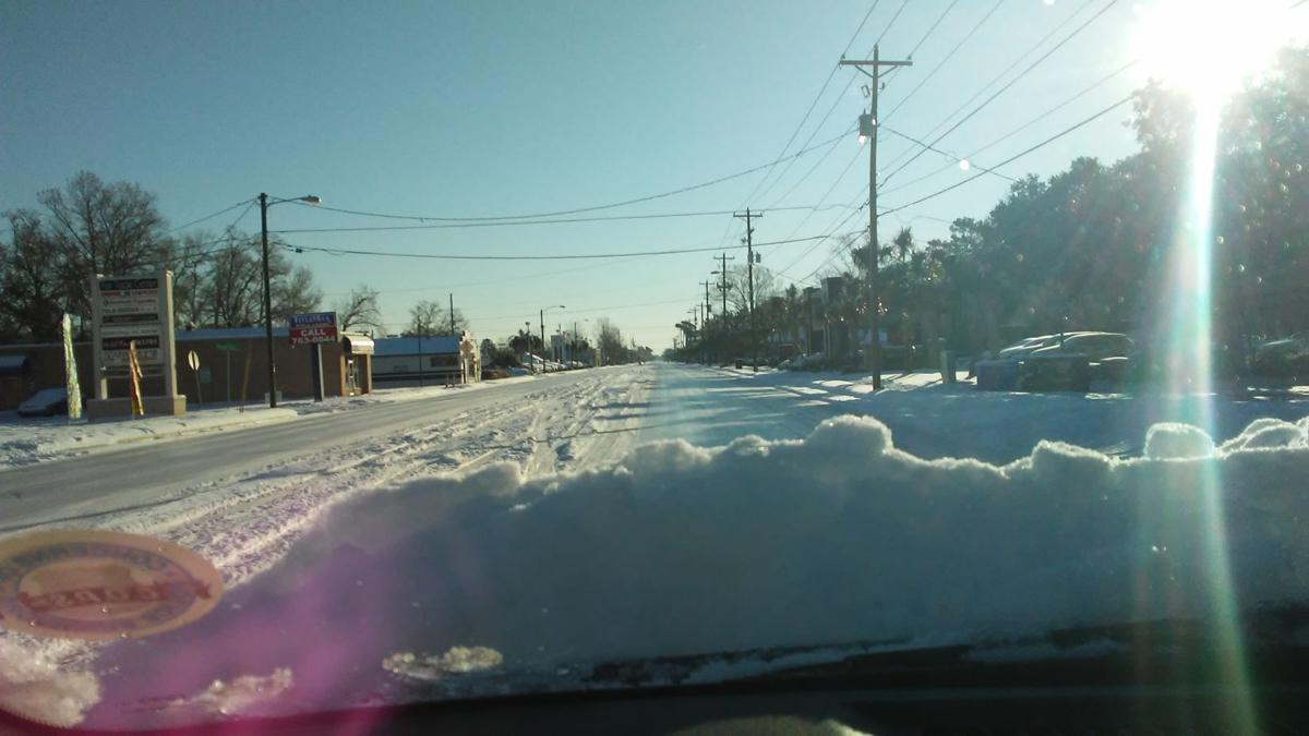
LaPorte looked more like the arctic on Friday when more snow fell after 15 inches of snow came down Thursday
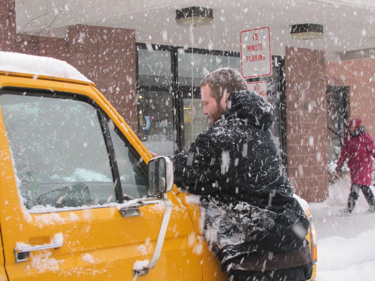
Nick Pirkel stops Friday to check the level of antifreeze in his truck in LaPorte, which received about 2 feet of snow the past two days.
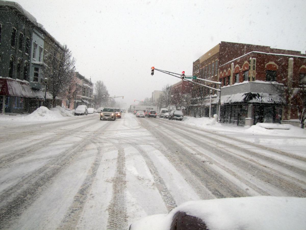
Traveling was hazardous on Lincolnway in downtown LaPorte on Friday after the city received 7 inches of fresh snow by 11 a.m. Friday after 15 inches fell the day before.
LaPorte had about 7 inches of fresh snow by 11 a.m. Friday after receiving 15 inches the day before.
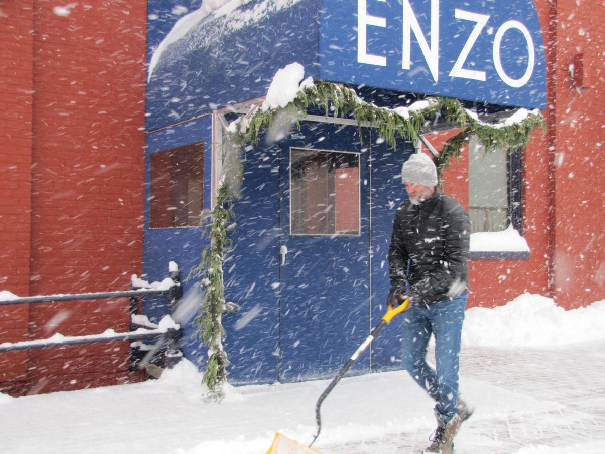
Chip Steffey shovels snow Friday outside his restaurant, Trattoria Enzo, at 601 Michigan Ave. in LaPorte's downtown. The city received about 7 inches of snow by 11 a.m. Friday.
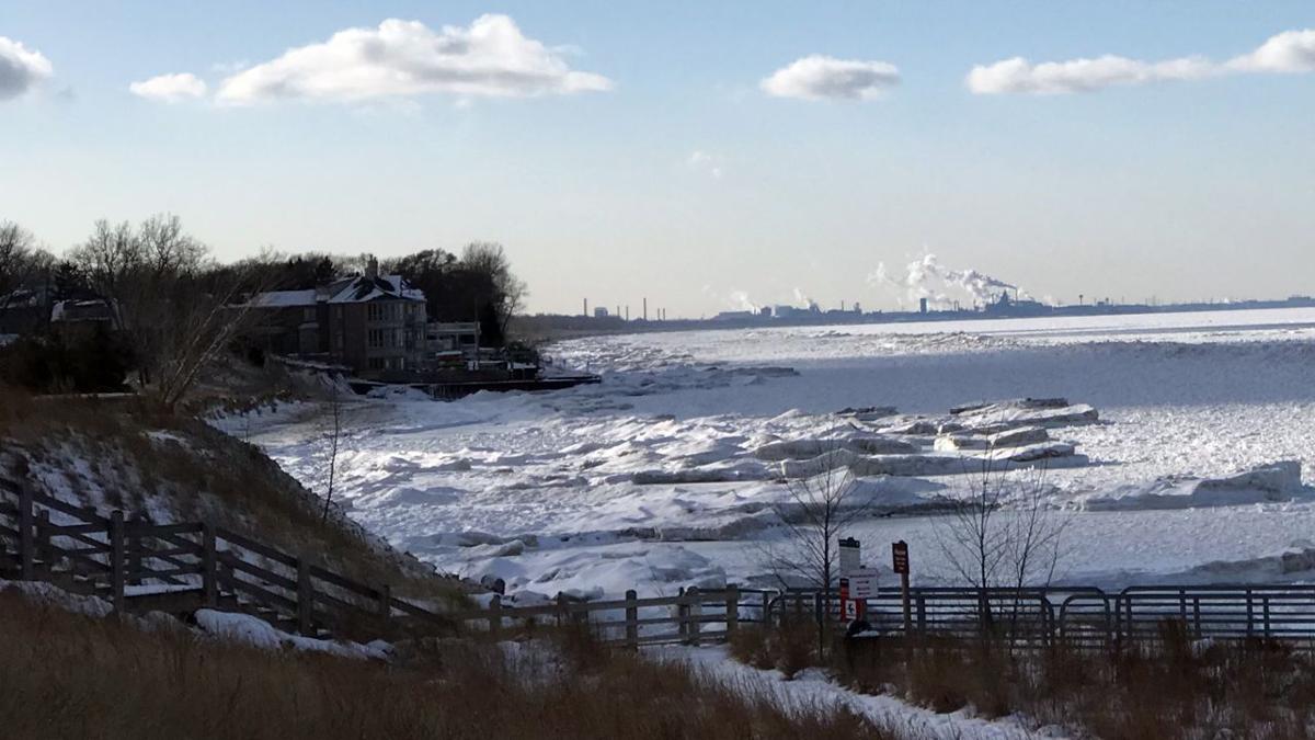
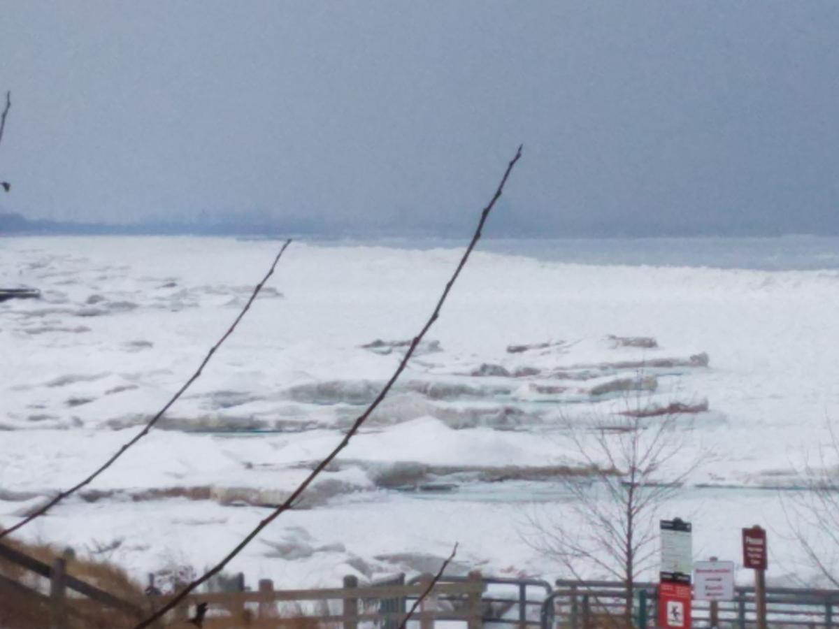
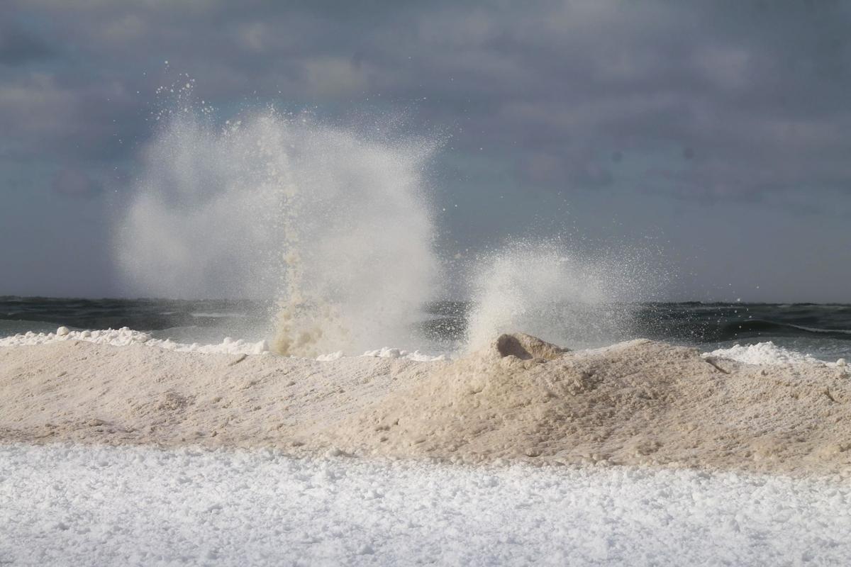
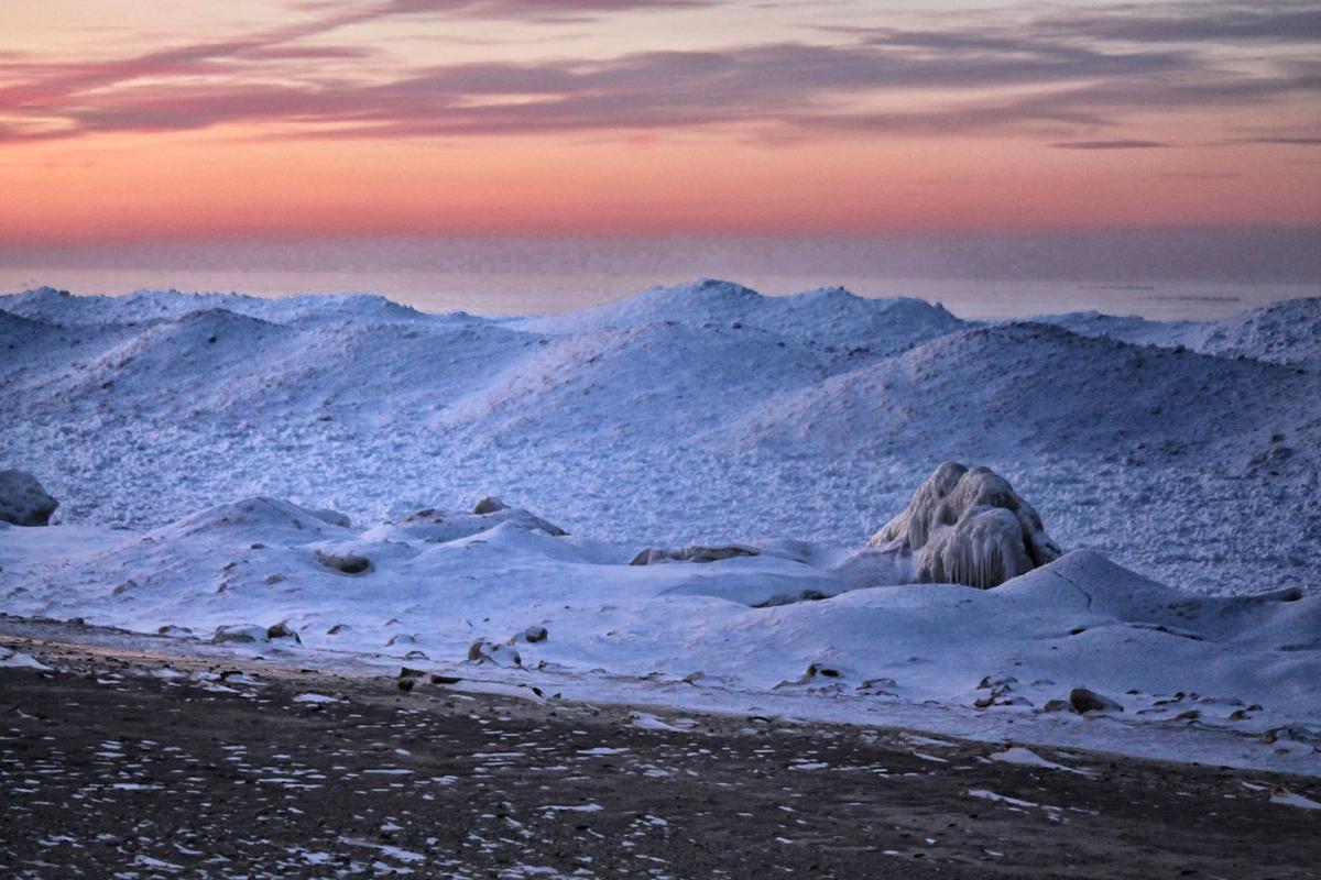
Shelf ice along the Lake Michigan shoreline can be seen from the Portage Lakefront Park, but park officials have roped off walkways leading to that ice because of its danger.
Former Porter County Sheriff Dave Lain shared this photo of the snowfall in Charleston, South Carolina, where he lives now.
He said via email this picture was taken Thursday following the 5.3 inches of snow that fell in the area Wednesday.
"I went out looking for a newspaper and coffee around 8 a.m. — neither of which was obtainable! A solid 2 inches of ice coats every road. This is a shot of U.S. 17 in the West Ashley neighborhood, the primary route into downtown Charleston. A normal Thursday would have had bumper to bumper traffic."
Munster

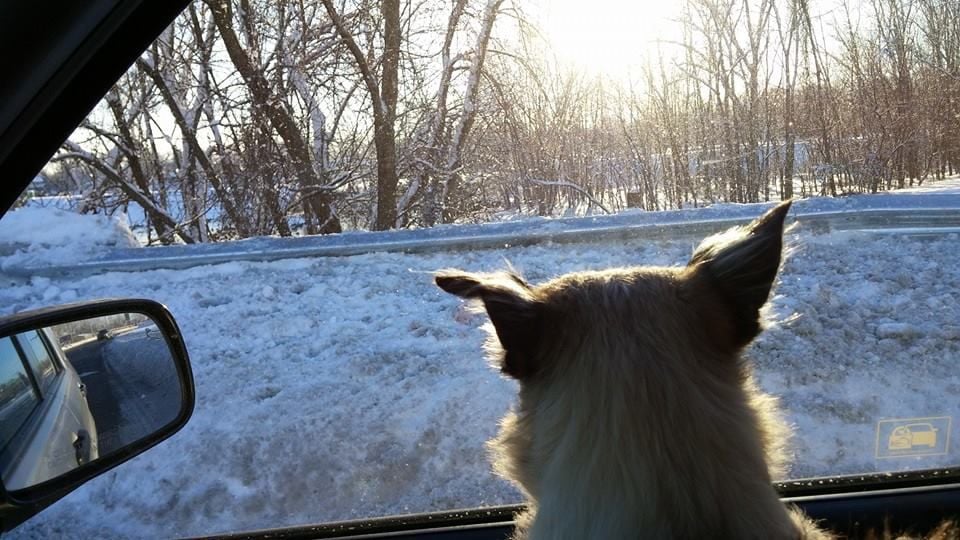
Omaha and Colt enjoy the snow in Valparaiso.

Crown Point
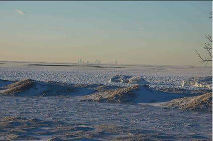
Belmont Harbor, close to the shore of Lake Michigan in Chicago
Lakeview Beach Beverly Shores on Dec. 30
Lakeview Beach Beverly Shores on Dec. 30
Lakeview Beach Beverly Shores on Dec. 30
Lakeview Beach Beverly Shores on Dec. 30
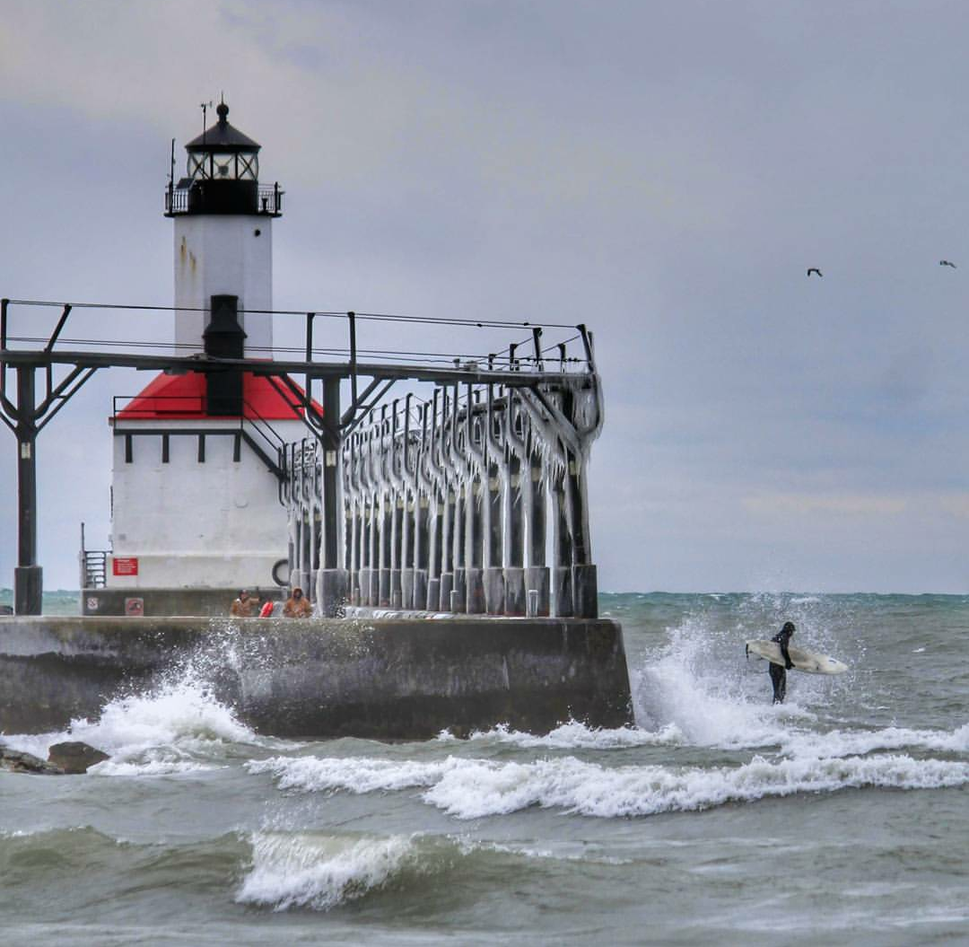
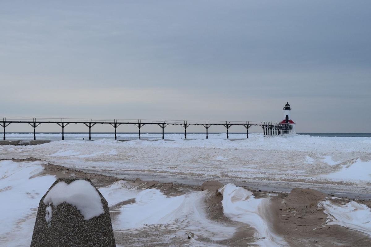
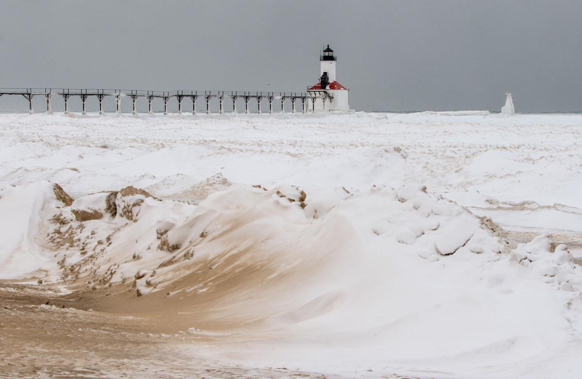
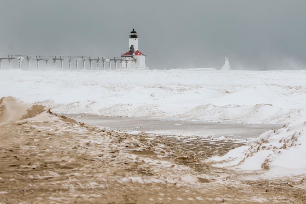
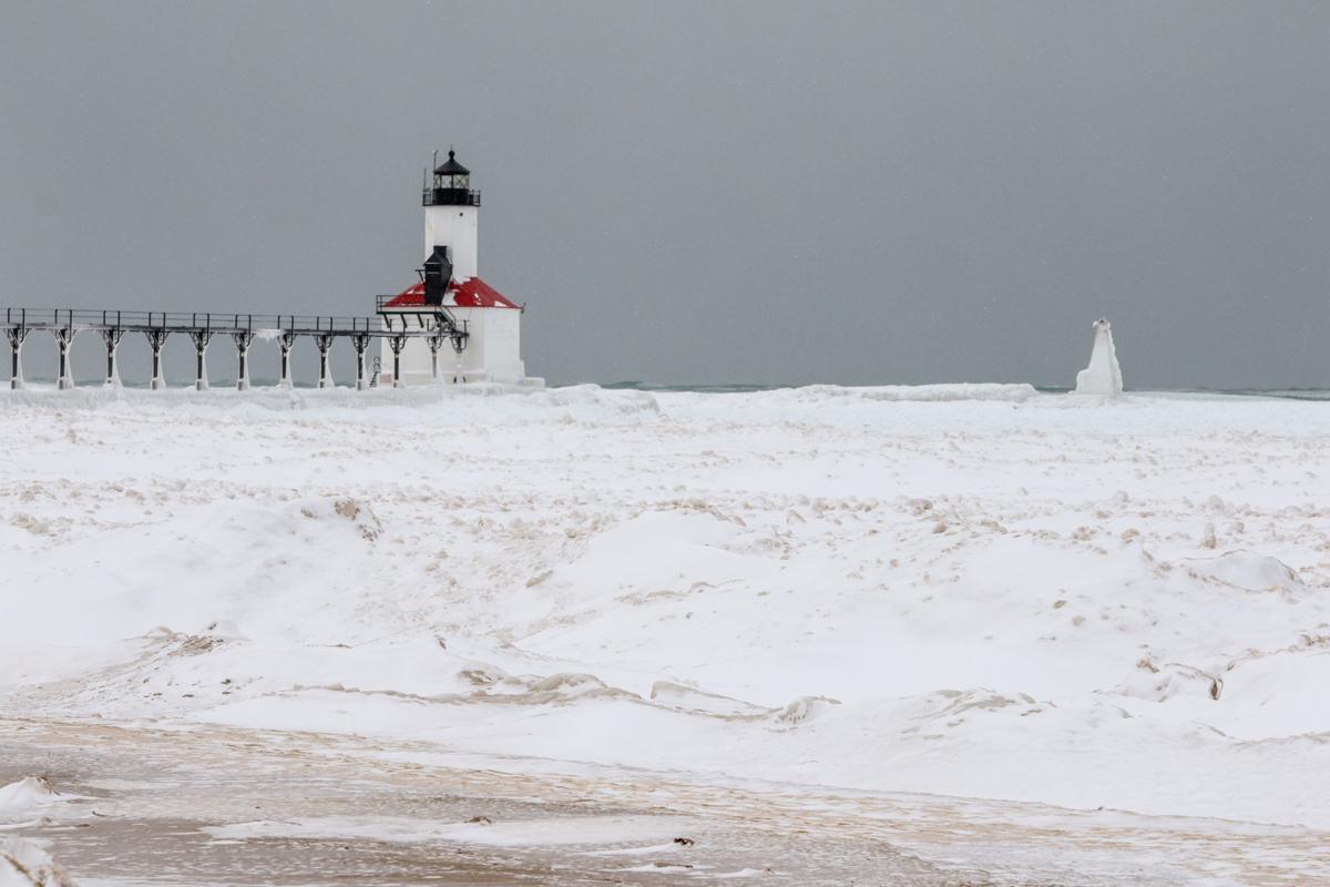
Washington Park Lighthouse in Michigan City on Dec. 15
Lake Michigan at Kemil Beach
Washington Park Lighthouse in Michigan City on Dec. 15
Lake Michigan at Kemil Beach
Lake Michigan at Kemil Beach
Lake Michigan at Kemil Beach
Forsythe Park in the Robertsdale section of Hammond, north end of Wold Lake
Forsythe Park in the Robertsdale section of Hammond, north end of Wold Lake
Whiting Lakefront Park Boardwalk
Whiting Lakefront Park Boardwalk
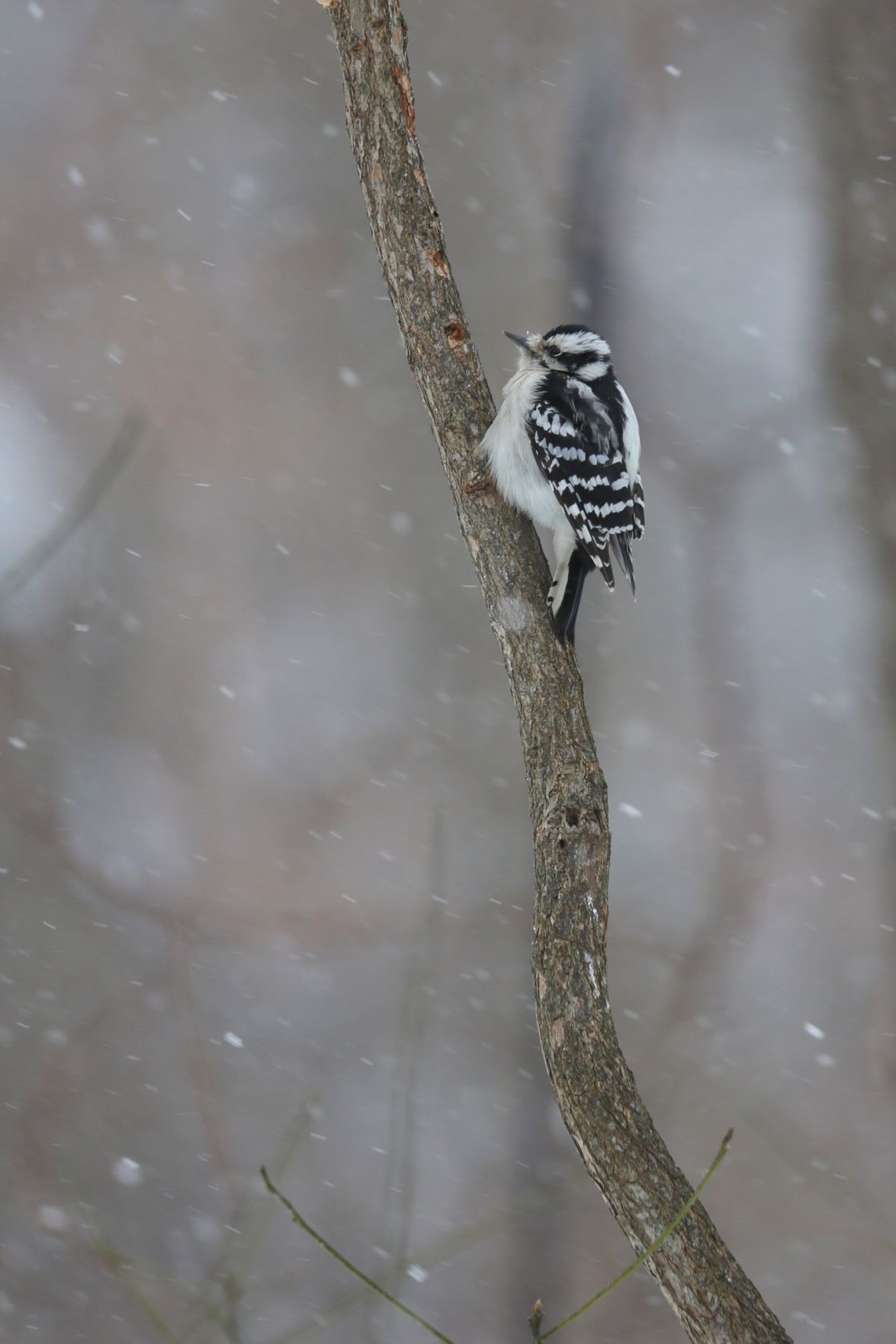
A bird sits on a branch in Michigan City.
Whiting Lakefront Park.
"At home on Porter Beach."
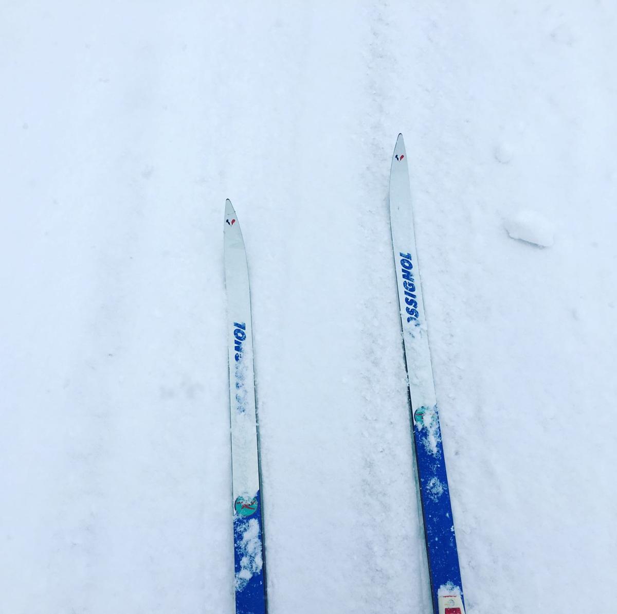
Cross country skiing at Coffee Creek Preserve in Chesterton.
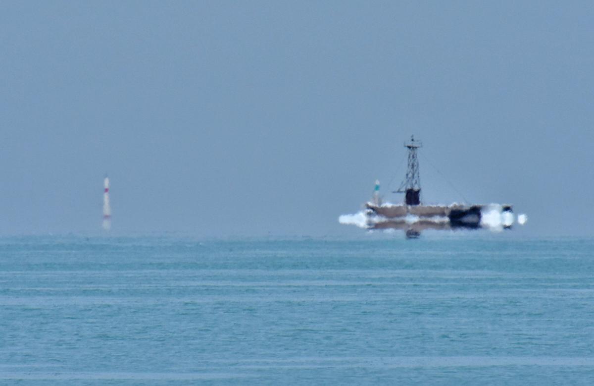
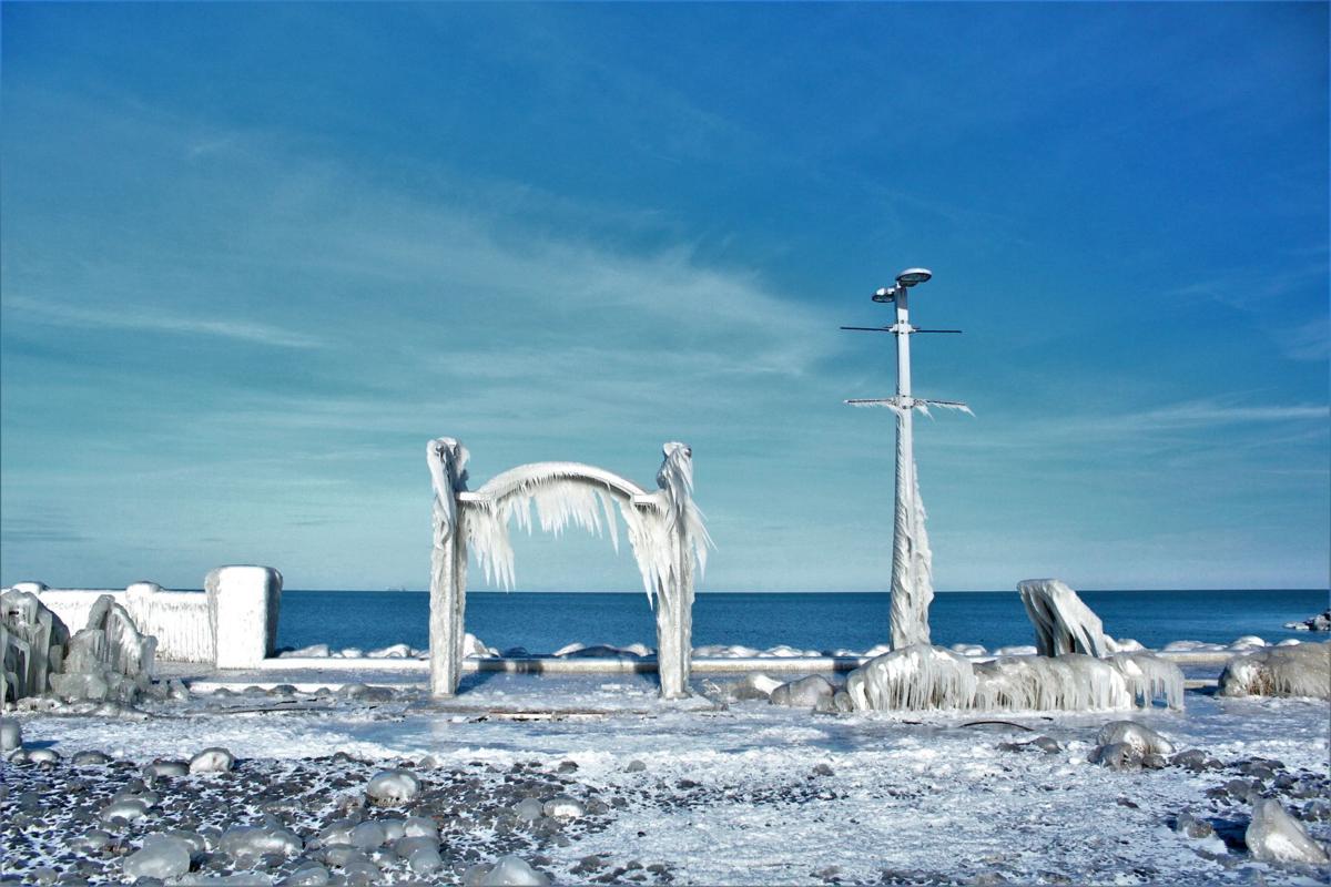
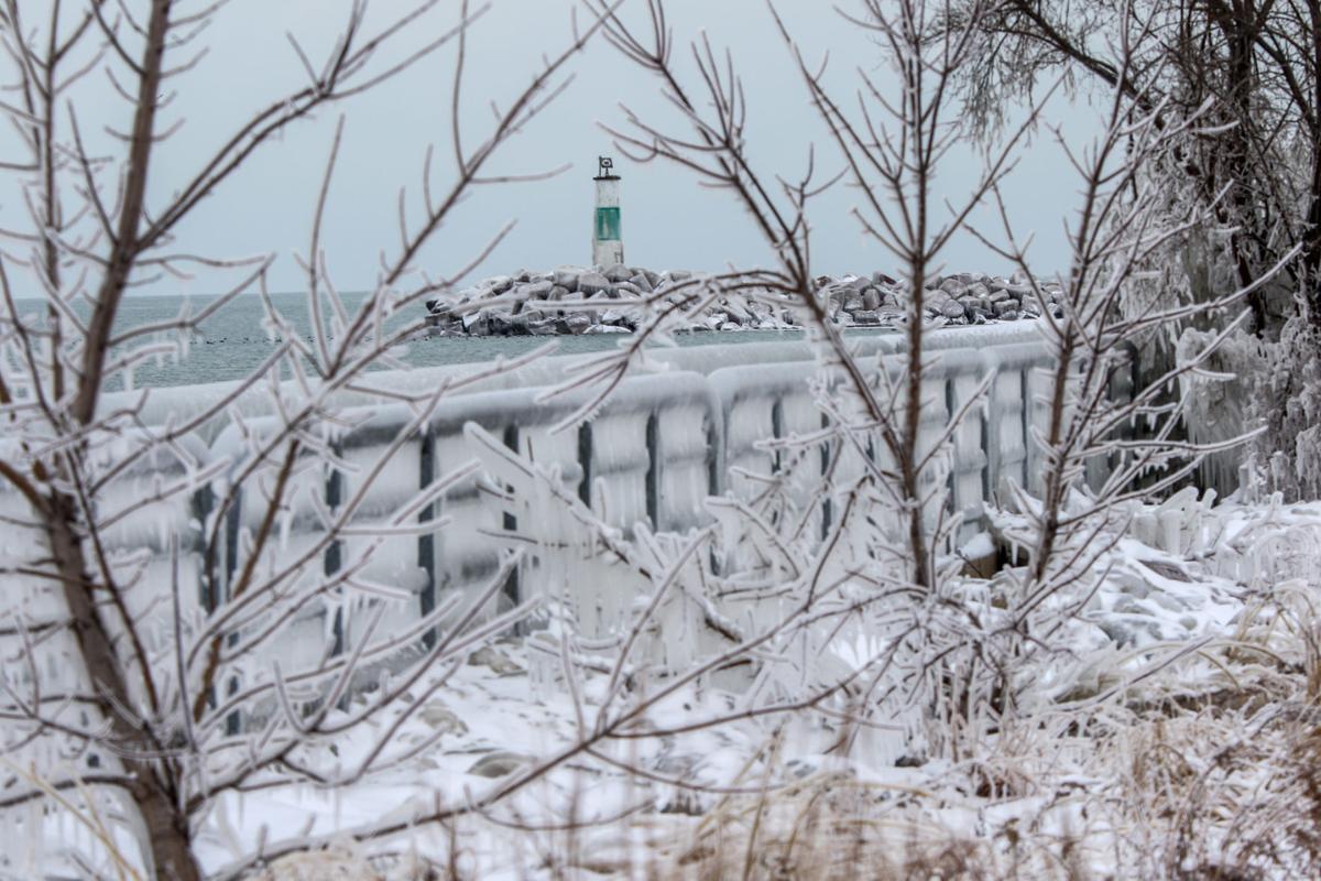
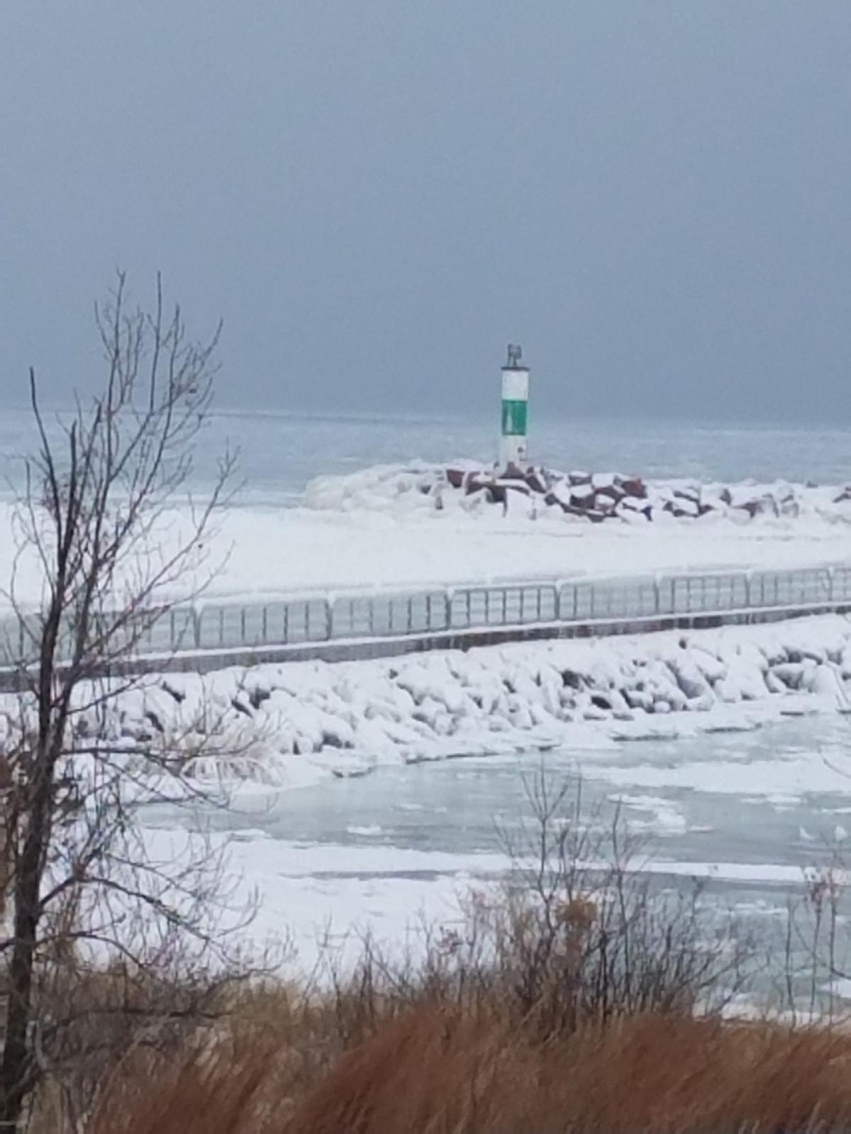
Rick Catania shared this photo he took while sitting at Whiting Park of a beacon light tower out on Lake Michigan. "I believe it's called atmospheric refraction caused by the frigid temps makes it look like the beacon island is floating in the air," he said via email.

Rebora Plaza, Beverly Shores
Rebora Plaza, Beverly Shores
Donna Seeley and her dog Bailey check out the lakefront in Hobart to see if there is any ice yet.
The Seeley family sleds at Countryside Park.
Morning snow outside the Seeley home in Hobart.
Crown Point
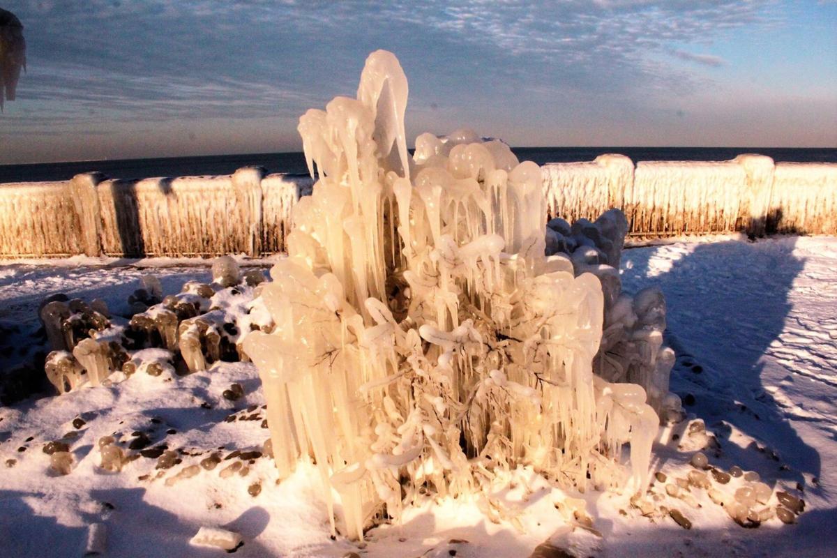
"All photos were taken in Whiting Park at the lakefront. Haunting photos with ice coating everything at sunset."
"All photos were taken in Whiting Park at the lakefront. haunting photos with ice coating everything at sunset."
"All photos were taken in Whiting Park at the lakefront. haunting photos with ice coating everything at sunset."
"All photos were taken in Whiting Park at the lakefront. haunting photos with ice coating everything at sunset."
"All photos were taken in Whiting Park at the lakefront. haunting photos with ice coating everything at sunset."
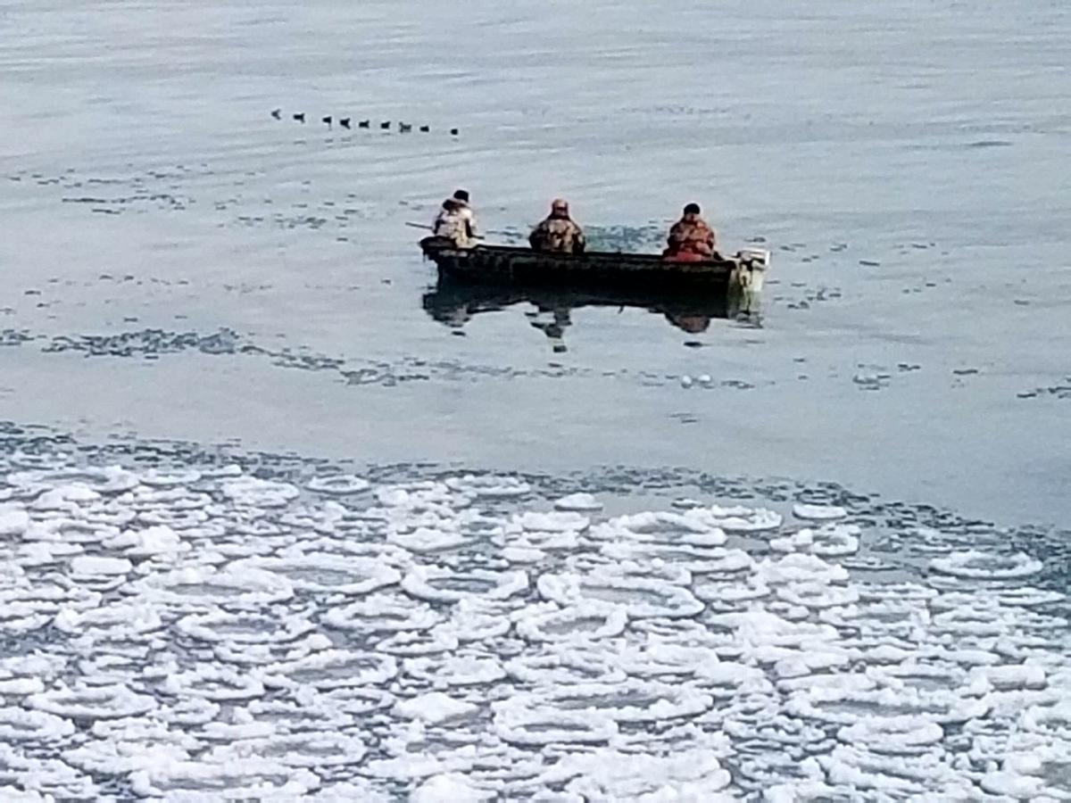
"I shot this picture from my home in Ogden Dunesof duck hunting and 'snow donuts' for breakfast."
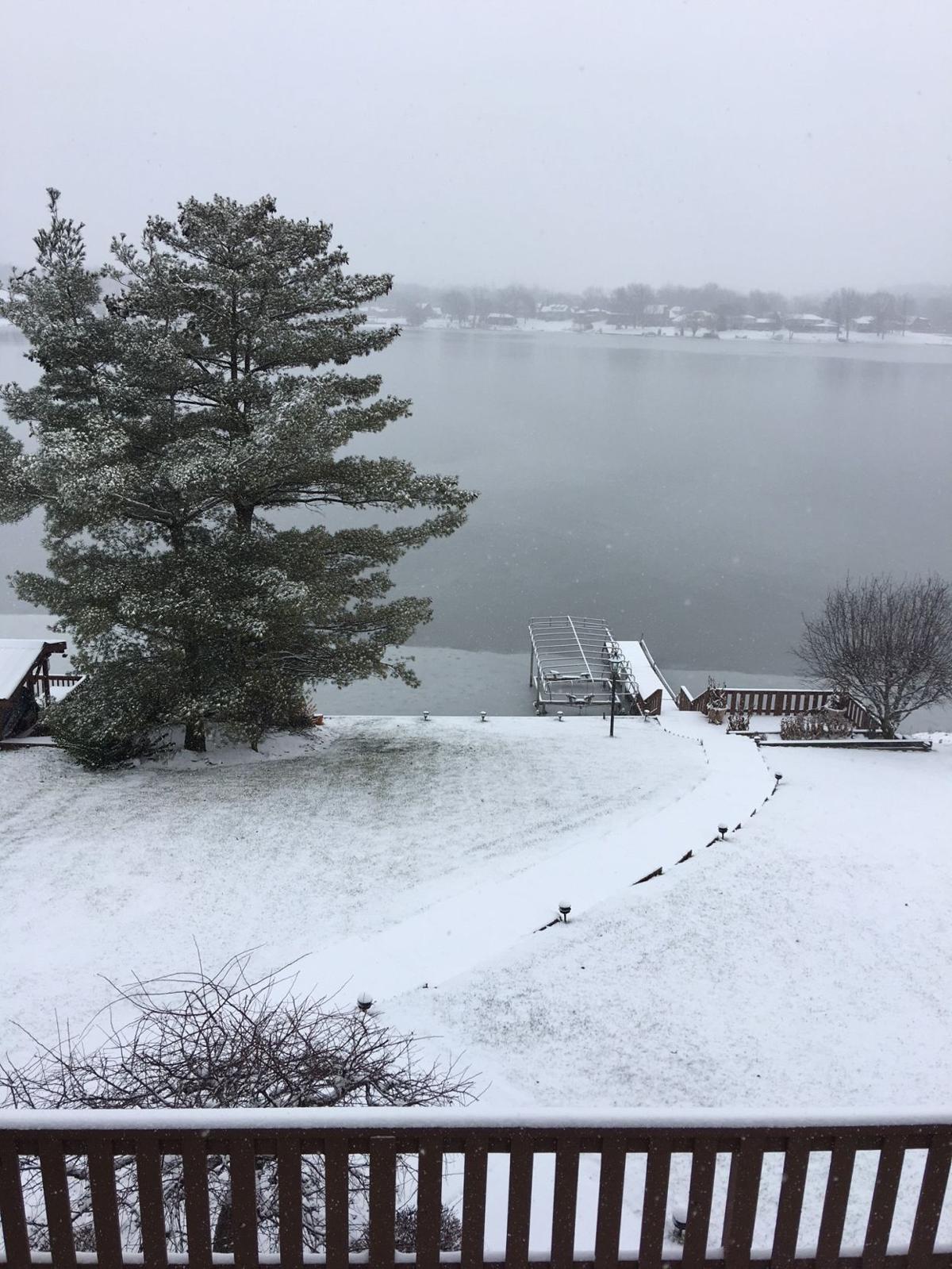
Lakes of the Four Seasons
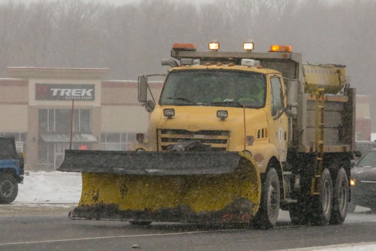
An Indiana Department of Transportation salt/plow truck traverses U.S. 30 in Schererville in an effort to stay ahead of the slick roadways due to Friday's falling snow and bitter cold.
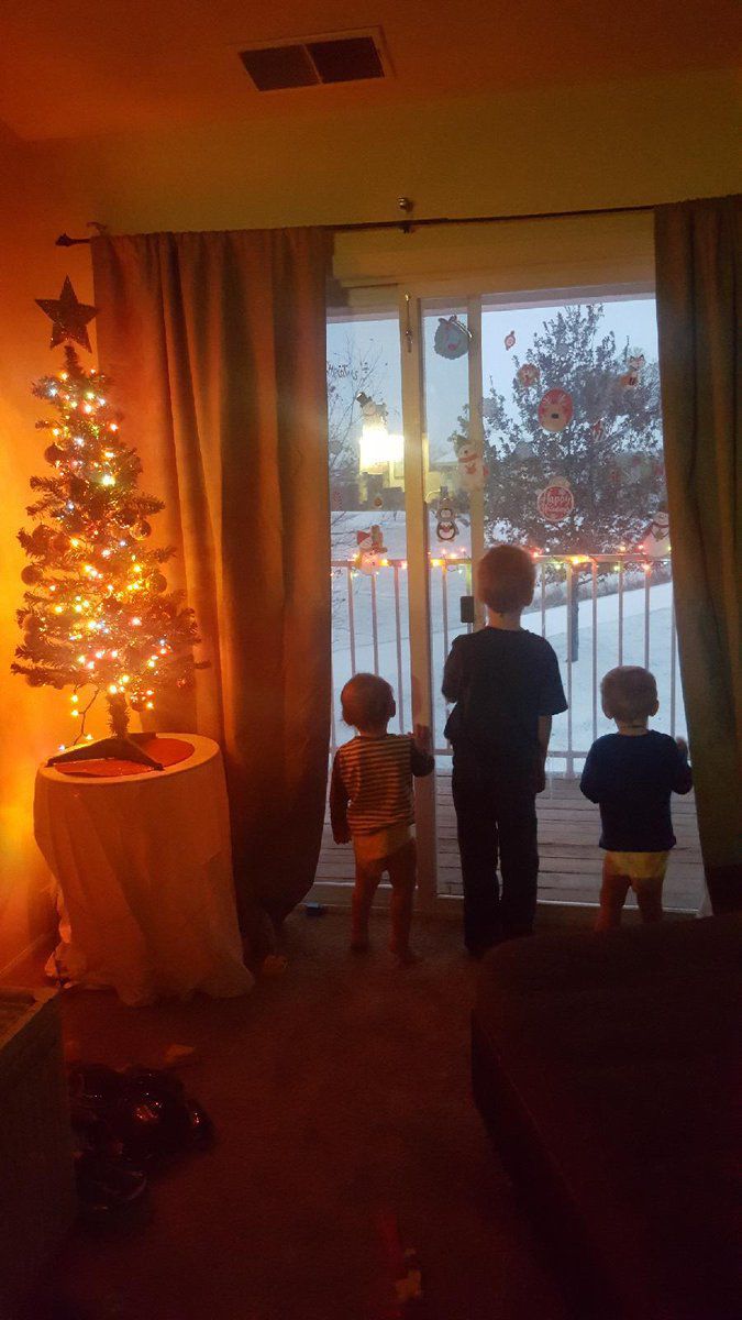
Derrick, Blake and Grayson Frank watch the first snow from their apartment in Hebron.
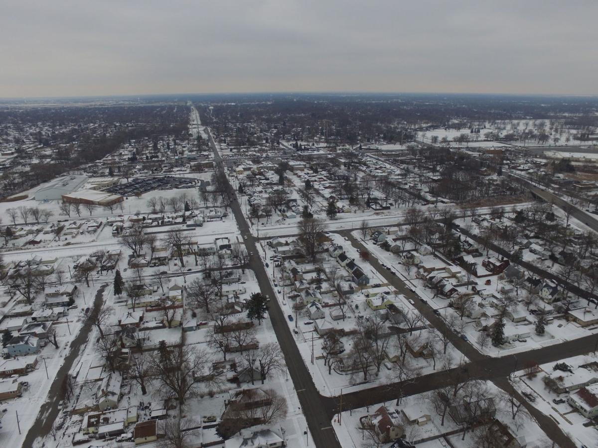
This snowy photo was captured by William Owens' drone in Highland.
UPDATED: Gallery: Share your wintry photos with us
Have you been out and about enjoying the wintry weather as of late? We want to see your photos! Email them to Times digital producer Laura Lane at laura.lane@nwi.com along with your name and where you shot the photos, and she'll upload the photos to this gallery.
Whihala Beach
Whihala Beach
Whihala Beach
Whihala Beach
Whihala Beach
Whihala Beach
Whiting
Whiting
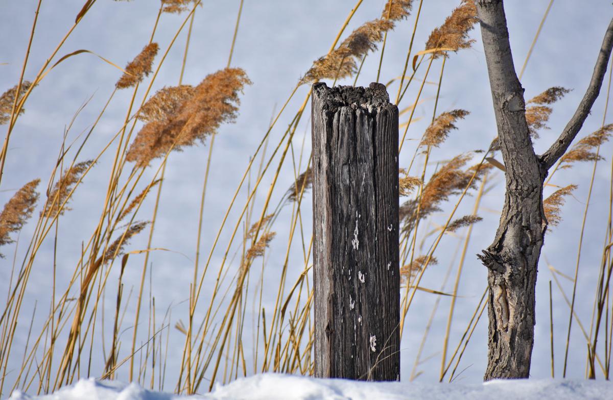
Cedar Lake
Shannon Krzeminski's four month old Pomeranian puppy at at the beach.
Shannon Krzeminski's four month old Pomeranian puppy at the beach.
Deer cross Shannon Krzeminski's path while cross country skiing.
Beverly Shores
Looking down to the beach at stop 32 on Lake Shore Drive in Michigan City.
Along Lake Shore Drive, Michigan City.
Our Front yard in Michigan City.
Our backyard in Michigan City.
Country road in Winfield.
"Perfect fresh snow in front of my daughter's house in Country Meadow Estates in Winfield."
"My deck after a new snow in Crown Point."
Starved Rock
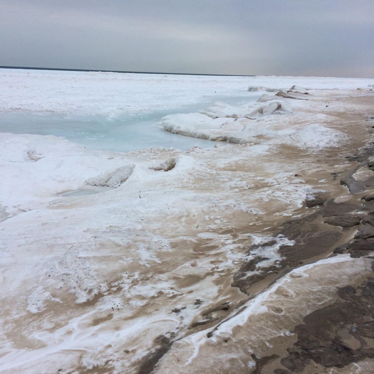
Whihala Beach on Jan. 14.
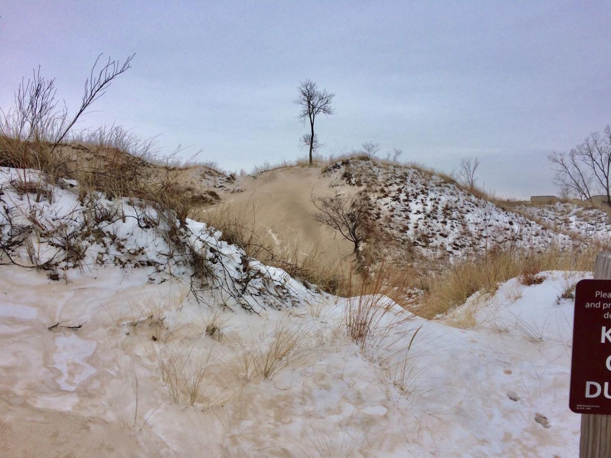
Indiana Dunes State Park Trail 9 on Jan. 18.
Miller Beach is shown on Jan. 4.
Lake Station
Portage Lakefront Park
Portage Lakefront Park
Running track next to Frank Hammond Elementary School
Terry and Bobbie Broach’s home in Demotte, Indiana.
Whiting Park
The Portage Riverwalk is shown on Jan. 15.
Whiting Park
Whtiing Park
"Winters wonders created after forgetting to cover patio table," said Linda Snell via email. "What does it resemble to you? Perhaps Chinese checkers board or a pizzelle cookie?"
"We had a morning snow visitor in Lowell," said Debbie Johnson via email.
"This picture is from Lumberton, Texas," Tim Broertjes said via email. "I was raised in Griffith. Living in Texas for a long time now. We have had snow three times this winter the most that I have ever seen here."
The former Wildermuth baby mansion in Gary, Indiana.
7700 Block of Forest Avenue in Munster
7700 Block of Forest Avenue in Munster
West Beach
West Beach is shown.
West Beach
West Beach
Whiting Park
Whiting Park
Whiting Park
"I took some photos from my window this morning of my bird feeder," said Mike Paulson, of Munster, via email. "I also set out extra bird seed on the adjacent ledge and was surprised at the number of birds that came to eat. I have a Saint Francis that holds a bowl for the bird seed."
Snow falls on 33rd Street in Hobart.
Snow falls on 33rd Street in Hobart.
An American goldeneye duck is spotted at Whiting Lakefront Park.
The Corn Channel of Wolf Lake in Hammond.
A fox is spotted across the street from Purdue Northwest campus.
Whiting lakefront
Whiting lakefront
Whiting lakefront
Whiting's lakefront is shown.
Whiting lakefront
Rusty Landis of Crown Point takes advantage of the region's arctic temperatures to do some ice fishing on Fancher Lake at the Lake County Fairgrounds.
Aaron Clemens and his daughter Jackie Clemens, 2, of Crown Point, take off down a hill Monday at the Lake County fairgrounds.
Rusty Landis of Crown Point takes advantage of the region's arctic temperatures to do some ice fishing on Fancher Lake at the Lake County Fairgrounds.
The breakwall at the Portage Lakefront and Riverwalk is pictured. The area is experiencing continued erosion.
Rusty Landis, of Crown Point, takes advantage of the Region's arctic temperatures to do some ice fishing Monday on Fancher Lake at the Lake County fairgrounds.
Camlen Justice, 9, of Cedar Lake, drags her sled back up the hill Monday at the Lake County fairgrounds.
Aaron Clemens and his daughter Jackie Clemens, 2, and step-son Eddie Miranda, all of Crown Point, enjoy the snowy hills Monday at the Lake County fairgrounds.
Aaron Clemens, right, and his stepson Eddie Miranda, 8, and daughter Jackie Clemens, 2, all of Crown Point, head to the sledding hills at the Lake County fairgrounds on Monday.
Nature has created natural ice sculptures along the breakwall at the Portage Lakefront and Riverwalk.
Rusty Landis, of Crown Point, goes ice fishing Monday on Fancher Lake at the Lake County Fairgrounds in Crown Point.
Rusty Landis, of Crown Point, does some ice fishing on Fancher Lake at the Lake County Fairgrounds.
Rusty Landis, of Crown Point, takes advantage of the Region's arctic temperatures to do some ice fishing Monday on Fancher Lake at the Lake County fairgrounds.
Hobart
Hobart
Whihala Beach
Whihala Beach
Whihala Beach
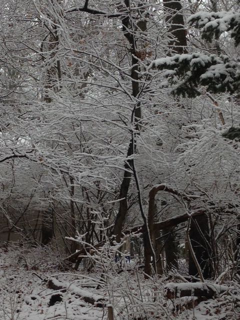
Michigan City
Michigan City
Birds — including horned larks, snow buntings and lapland larkspurs — rest in the snow in Westville on Jan. 7.
Herbie enjoys the snow in LaPorte on Jan. 7.
LaPorte on Faile Road and U.S. 20.
LaPorte on Faile Road and U.S. 20.
Snowbank at Long Beach.
Swans at Portage Lakefront and Riverwalk.
Cold golfer.
Sunset in St. Joe.
Sunset in St. Joe.
Snow in LaPorte County.
LaPorte looked more like the arctic on Friday when more snow fell after 15 inches of snow came down Thursday
Nick Pirkel stops Friday to check the level of antifreeze in his truck in LaPorte, which received about 2 feet of snow the past two days.
Traveling was hazardous on Lincolnway in downtown LaPorte on Friday after the city received 7 inches of fresh snow by 11 a.m. Friday after 15 inches fell the day before.
LaPorte had about 7 inches of fresh snow by 11 a.m. Friday after receiving 15 inches the day before.
Chip Steffey shovels snow Friday outside his restaurant, Trattoria Enzo, at 601 Michigan Ave. in LaPorte's downtown. The city received about 7 inches of snow by 11 a.m. Friday.
Shelf ice along the Lake Michigan shoreline can be seen from the Portage Lakefront Park, but park officials have roped off walkways leading to that ice because of its danger.
Former Porter County Sheriff Dave Lain shared this photo of the snowfall in Charleston, South Carolina, where he lives now.
He said via email this picture was taken Thursday following the 5.3 inches of snow that fell in the area Wednesday.
"I went out looking for a newspaper and coffee around 8 a.m. — neither of which was obtainable! A solid 2 inches of ice coats every road. This is a shot of U.S. 17 in the West Ashley neighborhood, the primary route into downtown Charleston. A normal Thursday would have had bumper to bumper traffic."
Munster
Omaha and Colt enjoy the snow in Valparaiso.
Crown Point
Belmont Harbor, close to the shore of Lake Michigan in Chicago
Lakeview Beach Beverly Shores on Dec. 30
Lakeview Beach Beverly Shores on Dec. 30
Lakeview Beach Beverly Shores on Dec. 30
Lakeview Beach Beverly Shores on Dec. 30
Washington Park Lighthouse in Michigan City on Dec. 15
Lake Michigan at Kemil Beach
Washington Park Lighthouse in Michigan City on Dec. 15
Lake Michigan at Kemil Beach
Lake Michigan at Kemil Beach
Lake Michigan at Kemil Beach
Forsythe Park in the Robertsdale section of Hammond, north end of Wold Lake
Forsythe Park in the Robertsdale section of Hammond, north end of Wold Lake
Whiting Lakefront Park Boardwalk
Whiting Lakefront Park Boardwalk
A bird sits on a branch in Michigan City.
Whiting Lakefront Park.
"At home on Porter Beach."
Cross country skiing at Coffee Creek Preserve in Chesterton.
Rick Catania shared this photo he took while sitting at Whiting Park of a beacon light tower out on Lake Michigan. "I believe it's called atmospheric refraction caused by the frigid temps makes it look like the beacon island is floating in the air," he said via email.
Rebora Plaza, Beverly Shores
Rebora Plaza, Beverly Shores
Donna Seeley and her dog Bailey check out the lakefront in Hobart to see if there is any ice yet.
The Seeley family sleds at Countryside Park.
Morning snow outside the Seeley home in Hobart.
Crown Point
"All photos were taken in Whiting Park at the lakefront. Haunting photos with ice coating everything at sunset."
"All photos were taken in Whiting Park at the lakefront. haunting photos with ice coating everything at sunset."
"All photos were taken in Whiting Park at the lakefront. haunting photos with ice coating everything at sunset."
"All photos were taken in Whiting Park at the lakefront. haunting photos with ice coating everything at sunset."
"All photos were taken in Whiting Park at the lakefront. haunting photos with ice coating everything at sunset."
"I shot this picture from my home in Ogden Dunesof duck hunting and 'snow donuts' for breakfast."
Lakes of the Four Seasons
An Indiana Department of Transportation salt/plow truck traverses U.S. 30 in Schererville in an effort to stay ahead of the slick roadways due to Friday's falling snow and bitter cold.
Derrick, Blake and Grayson Frank watch the first snow from their apartment in Hebron.
This snowy photo was captured by William Owens' drone in Highland.