Numerous Winter Storm Warnings and Advisories have been placed in southern KELOLAND in preparation for this next winter storm but the biggest update from overnight is the new Blizzard Warning for parts of extreme southeast KELOLAND.


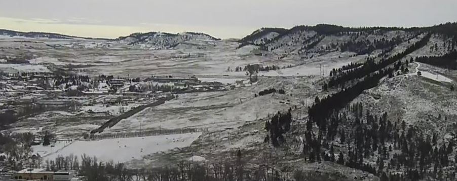
The snow has been falling in western KELOLAND with snow reports being few and far between but so far, it looks like about 2 to 5 inches of snow has fallen in and around the Black Hills. And looking ahead to today and tomorrow, that energy will track eastward so it will be south-central and southeast KELOLAND’s turn for the snow.
The heavy snow will slowly move into southeast KELOLAND late today and last well into Monday. Be aware of the changing weather (and driving) conditions during that time.

Snow amounts will be heaviest in southeast KELOLAND with amounts of 4-8” in Sioux Falls with more (upwards of 14”) expected in the areas where the Blizzard Warnings are issued.

Expect big differences in snowfall amounts over a county or two of distance in the southeast as there will be a tight gradient where the heaviest snow falls. There’s also a good likelihood of locally higher amounts of well over a foot of snow in southeast KELOLAND, especially in northwest Iowa.
But don’t get too caught up on the snowfall amounts, strong winds will accompany the heavy snow for those in the southeast. Northwest winds behind the storm will gust over 30 mph which will cause blizzard-like conditions with blowing snow and reduced visibility.

Once the storm has passed, the rest of the week will have afternoon temperatures in the 30s the rest of the week with another shot at some light passing snow late next week into next weekend.
- Forecast
- {{Title}}